Marseille Durable
  See photos (5)

Hike to En-Vau Calanque passing by Port-Pin Calanque

Sport, Pedestrian sports, Hiking itinerary in Cassis
7.5 km
3h 30min
Hard
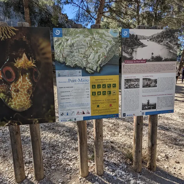
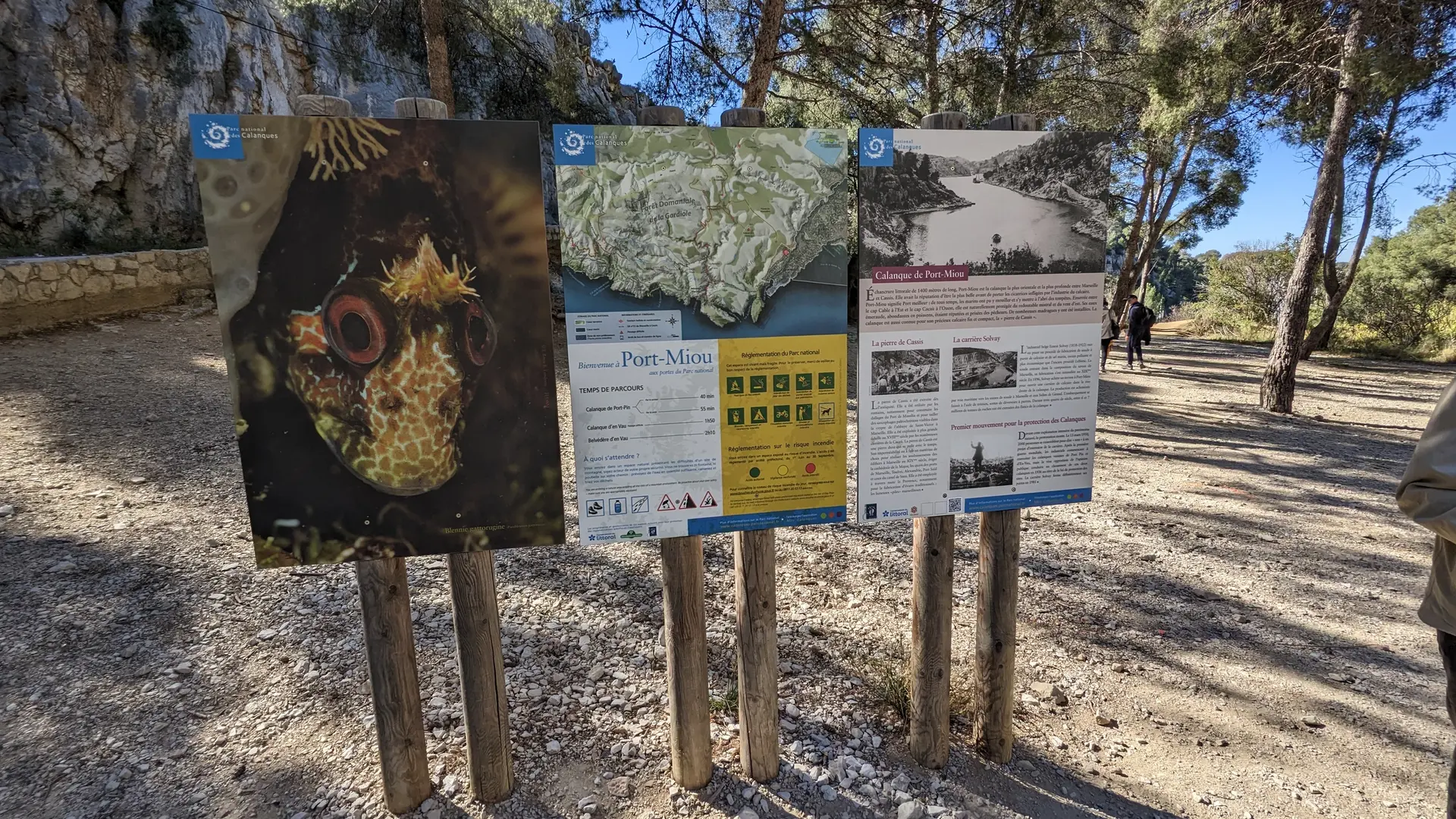
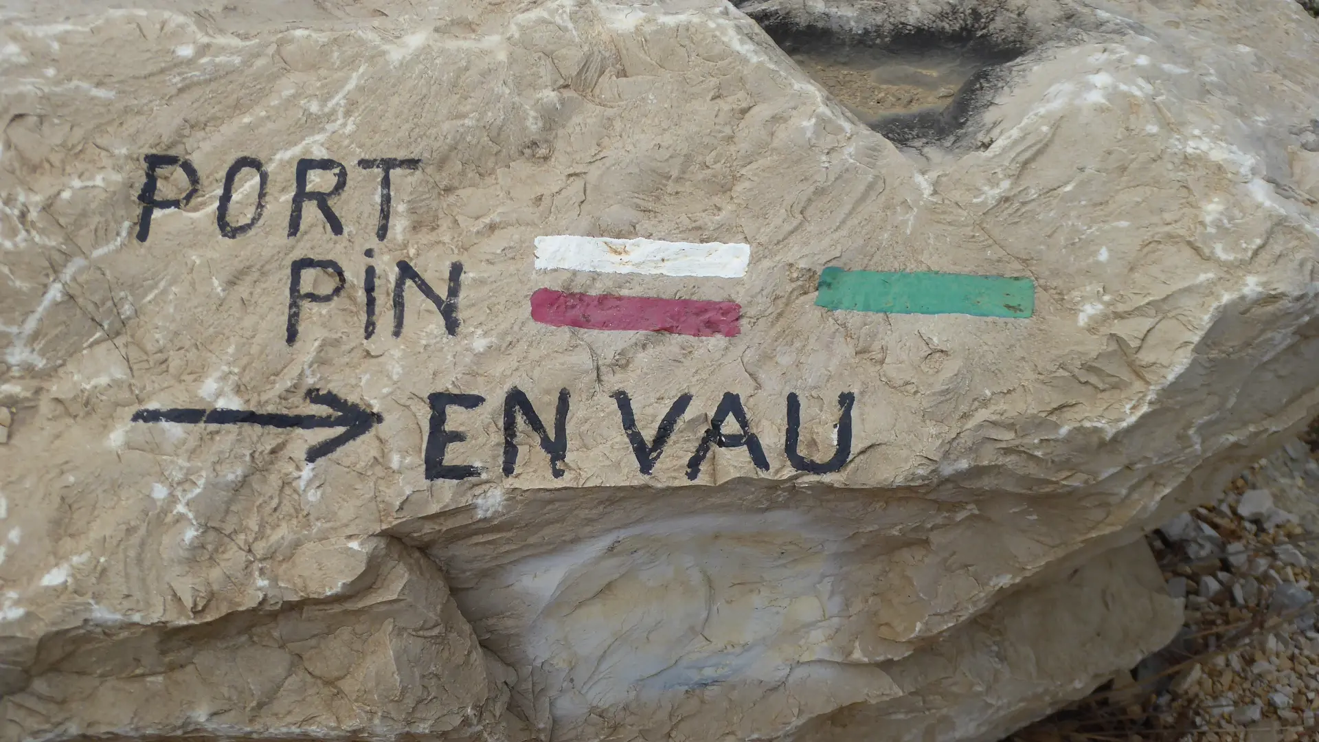
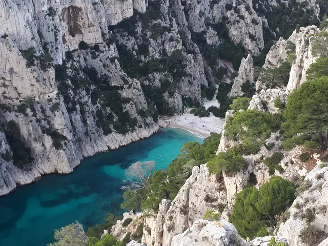
  • Hike to the popular Calanque d'En-Vau. Departure from the Bestouan peninsula in Cassis. The itinerary is difficult, requiring the use of the Portalet passage, redesigned in 2022. The route is considerably shorter than that from Le Logisson.

  • The starting point is the "Balli de Suffren" bus stop.

    When you get off the bus, turn around and go back a few meters to take Avenue des Calanques on your left. At the next intersection, turn left again to follow the avenue down to the bottom of the Port-Miou Calanque. "Port-Miou" is Provençal for "good harbor", and this deep inlet offers excellent shelter for boats on windy days and in rough seas (1).

    On your left, you'll see large signs for the Parc National des Calanques marking the...
    The starting point is the "Balli de Suffren" bus stop.

    When you get off the bus, turn around and go back a few meters to take Avenue des Calanques on your left. At the next intersection, turn left again to follow the avenue down to the bottom of the Port-Miou Calanque. "Port-Miou" is Provençal for "good harbor", and this deep inlet offers excellent shelter for boats on windy days and in rough seas (1).

    On your left, you'll see large signs for the Parc National des Calanques marking the start of the path. At the start, it's a wide track that runs for 1 kilometer through a former industrial site, the Solvay stone quarry. Cassis stone is a shell limestone of marine rather than lacustrine origin, highly resistant and therefore highly appreciated as a building material in Provence, before the advent of concrete. The site was in operation until 1982. Along the way, you'll see the Cassis "château" on your left (2).

    At the crossroads, follow the GR signs (red/white or green).

    You pass close to the trou du souffleur (3). The path descends through the pines towards the Calanque de Port-Pin (4).

    [Then two options:

    1/ The option chosen for this itinerary is to follow the GR to continue the route to reach the Portalet passage, which leads down to the bottom of the Calanque d'En-Vau (5).

    2/ Take a detour (not marked on this itinerary) to explore the En-Vau plateau, discover the former Piolet refuge and enjoy several vertiginous viewpoints overlooking the Calanque d'En-Vau. In this case, follow the blue markers which also lead down to the Portalet descent].

    Leave the Calanque de Port-Pin, continuing to follow the GR markers. It climbs until you reach the passage du Portalet. Here, in order to limit the gradual degradation of the path and natural habitats, channel visitor flows and reinforce hiker safety, the National Park authorities have undertaken work to redesign the path. Crossing the Portalet passage is a tricky business. It is therefore important not to deviate from the itinerary and to follow the signs.

    Once you've reached the bottom of the valley, follow the red markers to reach the coastal part of the Calanque d'En-Vau.

    Hikers, please don't leave any garbage behind. Don't follow the bad examples that are still recurrent. There are no maintenance workers to collect abandoned garbage. Sooner or later, it will end up in the sea.

    For the return journey, it's the same route in the opposite direction: follow the red markings up to the Portalet rise. Then green and white/red markings guide you to Port-Miou. One last climb and you're back on the Avenue des Calanques and at the bus stop to return to your car.

    We would like to thank the ©Parc national des Calanques for permission to use its gpx trail.
  • Departure
    Cassis
  • Difference in height
    359 m
  • Environment
    • Close to pleasure port
    • Close to a public transportation
    • Close to GR footpath
    • Sea view
    • Village centre
    • Coastal
  • Spoken languages
    • French
  • Documentation
    GPX / KML files allow you to export the trail of your hike to your GPS (or other navigation tool)
Points of interest
2 Port-Miou Castle
It was a place that housed the workers in the stone quarry. No-one can say when the tower was added, which gives it the appearance of a castle. Today, the ground floor houses the calanque's harbour master's office and the 3rd floor (accessible via the path you are following) is occupied by staff from the Calanques National Park.
le chateau de Port-Miou©hkotlcm.jpg
3 The blower's hole
On the surface, it's a small hole just a few centimetres deep in the limestone. What is not visible is the fault at the heart of the rock that runs down to the sea 20 metres below. When the waves hit the rock, they compress the air that escapes through the hole, making a noise like the breath of a sea mammal.
359 meters of difference in height
  • Maximum altitude : 128 m
  • Minimum altitude : 6 m
  • Total positive elevation : 359 m
  • Total negative elevation : -359 m
  • Max positive elevation : 115 m
  • Min positive elevation : -119 m
Services
  • Services
    • Pets welcome
Close