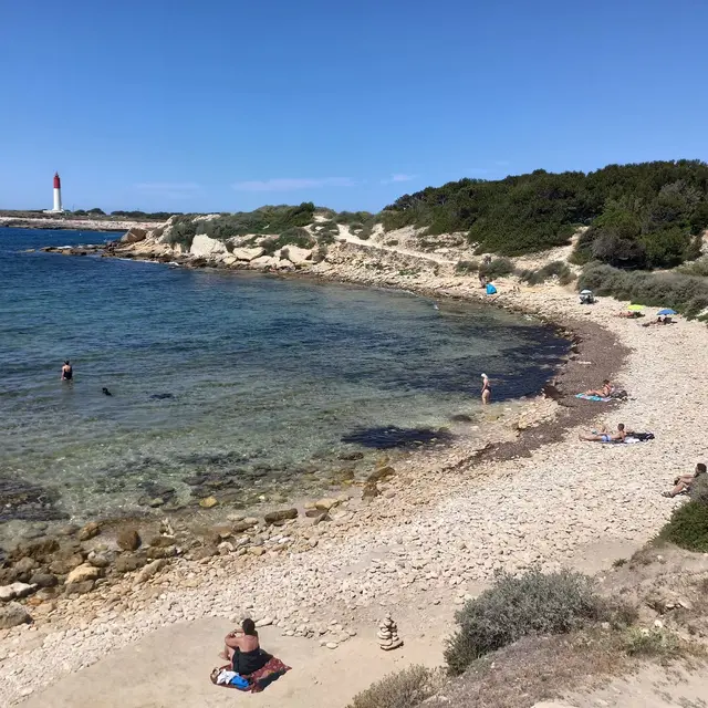
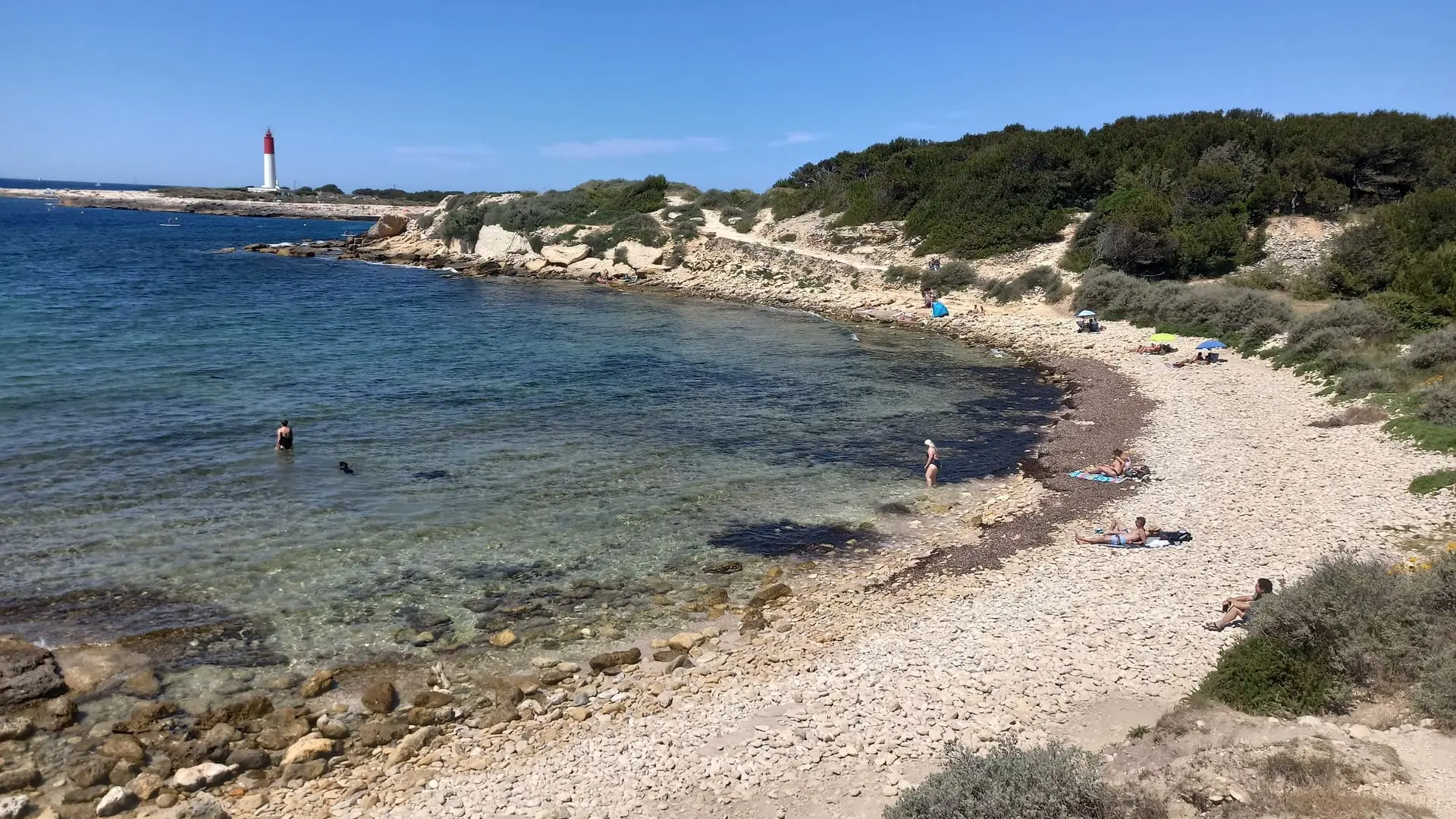
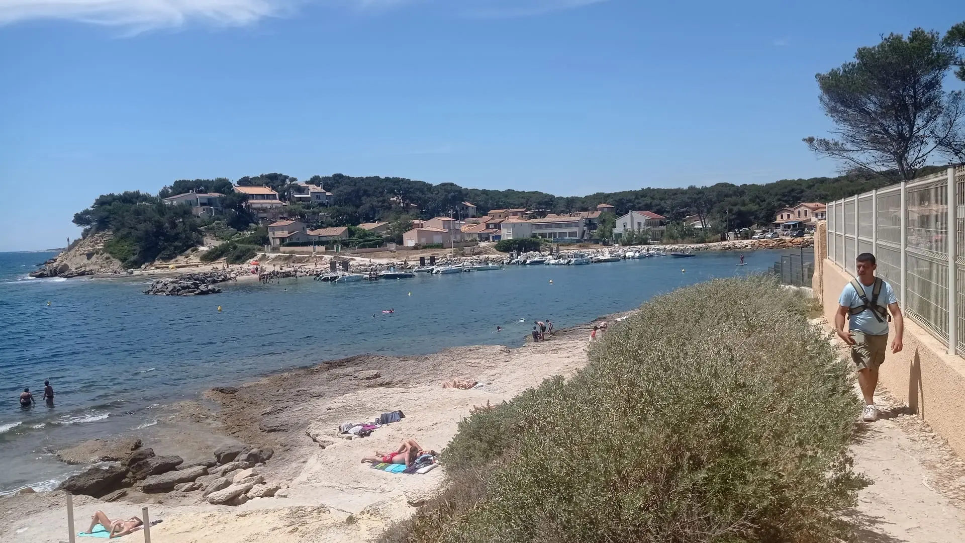
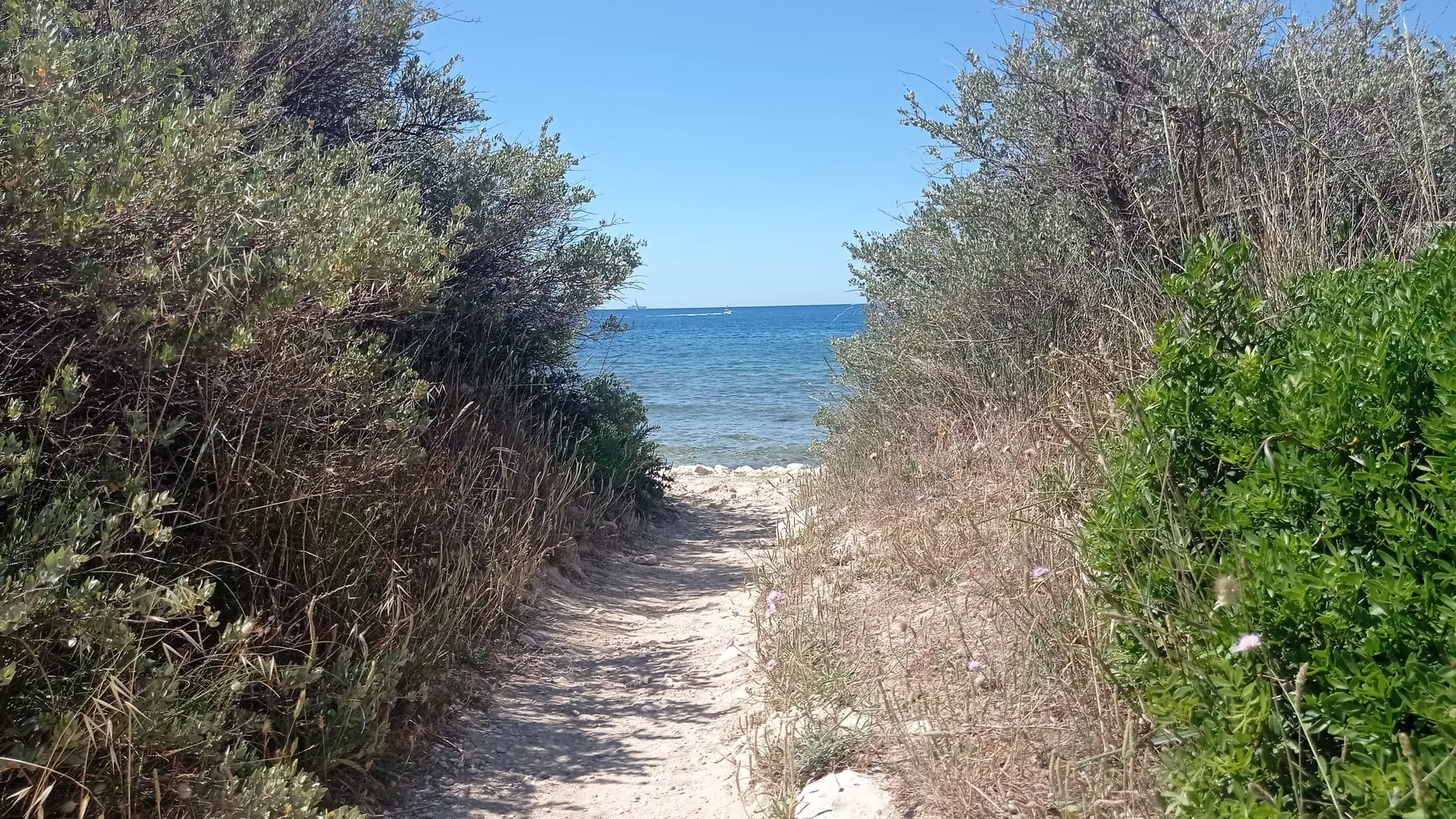
The coastal path presents natural spaces of exceptional ecological diversity and landscape quality.
Departing from Les Laurons or the village of Carro, walk along the Mediterranean coast to discover exceptional landscapes! A nice 13km walk (one way) to the jewel of Sainte-Croix beach and its chapel. All along the route, discover the history of the Côte Bleue coastline, the fauna and flora that inhabit it as well as the archaeological traces.
The trail starts at the EDF thermal power station. Built in the 1970s, this site was intensely used until 1982 with 250 people employed. Today it still works and is used as needed.
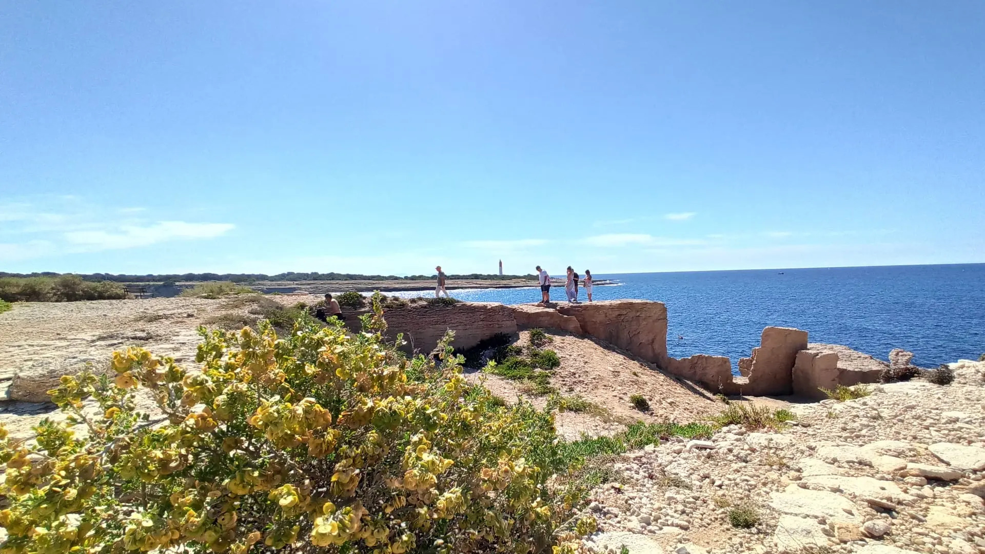
On the route, you will see several casemates and fortifications dating from the Second World War. These buildings, evidence of the past, guarded the Mediterranean shores against invaders and/or to accommodate Allied troops. Between Lavéra and La Couronne, no less than 99 blockhouses, 100 structures for large-caliber guns and 85 heavy machine gun sites have been identified.
Walking the coastal path also means learning more about the dozens of shipwrecks that have taken place on the coast. The area being very little protected from the wind, the freight boats did not survive there. We are talking here about the Greek era, antiquity and the Middle Ages.
Finally, you may come across them on your way, the coastal path is populated by mammals (red squirrels, red foxes, weasels, weasels and wild rabbits), insects (cicadas, green grasshoppers, stick insects, crickets), reptiles (lizards, snakes, seps), seabirds (tern, gull, grebe, gull, great cormorant).
On the ground, you will see continental karsts formed by the movements of the sea. Today, these rocks with holes serve as shelters for plant and animal species. The landscape you will travel through dates back 16 to 20 million years, which gives it a special appearance. You will recognize it by its Mediterranean vegetation (oaks, pines, thyme, rosemary, rush) and its salt-tolerant plants (glasswort, sea fennel, obione, panicaut des dunes).
The heritage you absolutely must see during your walk:
- In Carro: the Croix de Carro located on the port in memory of the missing sailors, the lifeboat of the SNSM station in operation since 1868, the quarries of Baou Tailla (one of the best preserved coastal quarries) having served to the extraction of stone by the quarrymen who lived in La Couronne / Carro.
- At La Couronne: the Semaphore, one of the last in France built in 1887 and still in operation, the Cap Couronne lighthouse made famous for appearing regularly in the background in the TF1 series "Camping Paradis" whose place of filming is located nearby, the traces of a Gallic village on the Pointe de l'Arquet dating from the 6th century and probably destroyed by a military attack by the Greeks of Marseille.
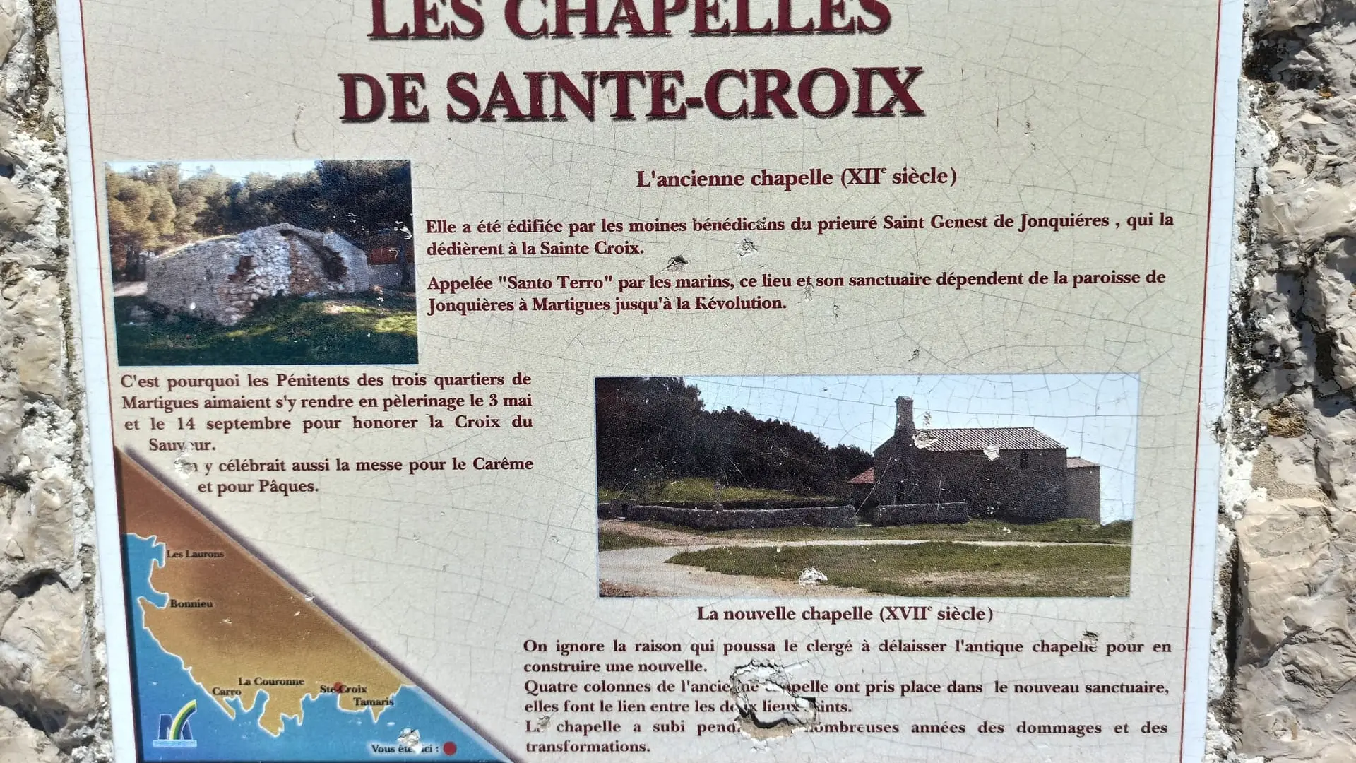
- In Sainte-Croix: the beaches on which the Duchess of Berry landed in 1932 from Italy on the ship "Carlo Alberto" and helped by two sailors from La Couronne, the Chapel of Sainte-Croix called "Santo Terro / Holy Land" by sailors, traces of a Gallic village in Tamaris dating from the 6th century BC.
At the end of the route, access the Grand Vallat reed bed. This is a wetland where reeds grow which shelter a very varied fauna: mammals, birds, amphibians, insects. Coypus, tree frogs, beetles, snakes, moorhens, water rails and gerris are the main inhabitants.