Neighbourhood

Carpiagne

A wilderness on the outskirts of Marseille

The Carpiagne district, whose name is familiar to all the people of Marseilles, is sparsely urbanised. Located between Marseille and Cassis, it is home to a military camp. It is also a key departure point for some of Marseille’s most beautiful Calanques.

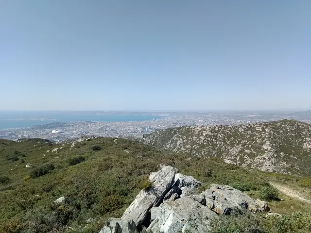
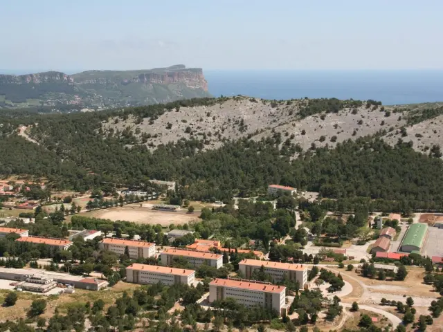
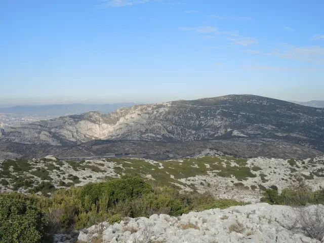
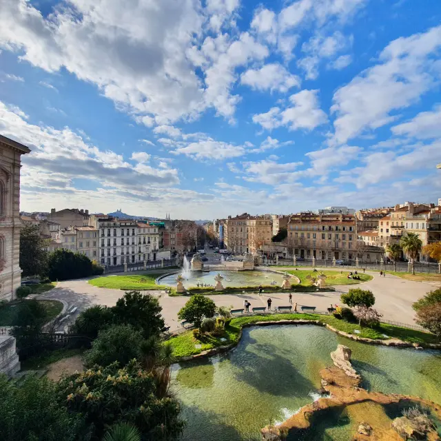
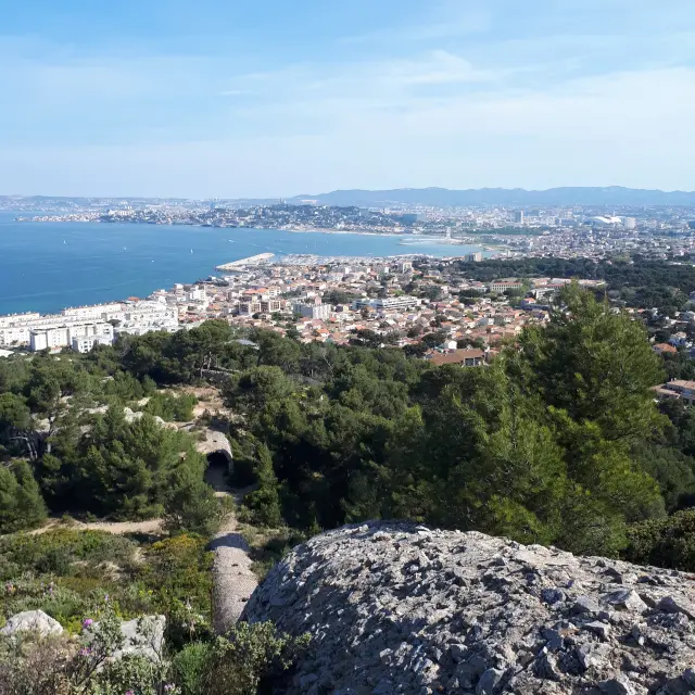
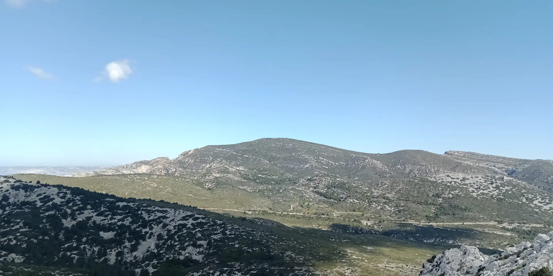
A hilly landscape between Marseille and Cassis

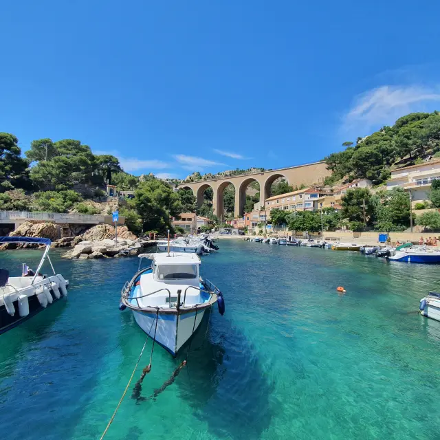
Carpiagne has a typically Provençal landscape, with hills carpeted with garrigue. To the north of the district rises the Saint-Cyr massif, whose highest point is Mont Carpiagne at 646 metres. To the south, the Calanques massif casts its white limestone cliffs into the blue waters of the Mediterranean.

These austere, imposing landscapes are home to an unsuspected wealth of flora and fauna: the skies are home to Bonelli’s eagle, the great horned owl and Cestoni’s hound, one of the continent’s largest bat species. The vegetation consists mainly of aromatic plants, thorny thickets, kermes oaks and a few pines.

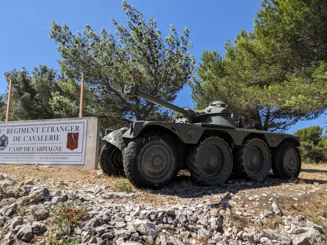
You’ll probably only come across hikers in this wild, undeveloped area: Carpiagne has no inhabitants other than the soldiers stationed at the eponymous camp. There are, however, a few traces of human activity, such as the ruins of old sheepfolds and lime kilns, which can be seen on a hike.

The Carpiagne military camp

A vast military camp was created in 1895 in the hills south of Marseille. It was ideally located, both close to the city and away from the civilian population, protected by the Saint-Cyr and Calanques massifs. This isolated location meant that firing training could be carried out in the safest possible conditions.

The Carpiagne camp was transformed into a prison camp during the First World War, housing captured Austro-Hungarian and German soldiers. It was enlarged during the inter-war period and fell into German hands in November 1942. It was not until 24 August 1944 that Allied troops seized it, securing the liberation of Marseille.

Used for a time as a regrouping and transit centre for German prisoners, Carpiagne became a renowned training centre for armoured troops. At the end of the 20th century, it was home to a regiment of Leclerc tanks.

In 2014, the 1st Foreign Cavalry Regiment (1er REC) moved to Carpiagne. This Foreign Legion regiment is equipped with light armoured vehicles and is part of the 6th light armoured brigade.

Covering an area of 1,500 hectares, the Carpiagne camp still enjoys a privileged geographical location, close to the Istres air base, the military port of Toulon and the headquarters of the Légion Étrangère in Aubagne.

Hiking in the Carpiagne district

The Saint-Cyr massif is criss-crossed bynumerous footpaths starting from the eastern districts of Marseille (Saint-Tronc, Saint-Loup, La Valbarelle, Saint-Marcel, La Barasse, etc.). In particular, you can walk to Mont Carpiagne (646 metres) and Mont Saint-Cyr (610 metres), for uninterrupted views of Marseille and the surrounding mountains.

You can also take the Route de la Gineste (D559), which links Marseille to Cassis, to get closer to Carpiagne. This road is the main access route to the military camp. You can also walk to the Calanque d’En-Vau, one of the most beautiful natural sites in the region, via the Col de la Gardiole.

Subscribe to our newsletter

Stay connected and find out all the latest news from Marseille