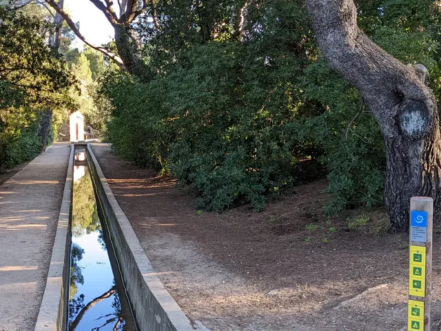
2Entrance to the National Park and the Marseille canal
Once you've walked 900 metres up the park's central avenue, you'll come across signage that leaves no room for doubt. As they pass the Canal de Marseille, visitors enter the terrestrial heart of the Parc National des Calanques, recognisable by the spiral-shaped emblem of France's national parks, a hymn to nature and biodiversity.
The Canal de Marseille is the providential structure that has been supplying water to all the districts of Marseille since 1849, finally making it possible, calmly and regularly, to irrigate farmland and power factories. This is the Montredon section, which ends a little further on, at the Madrague de Montredon port. Today, the water is used to water the park and prevent forest fires. In Marseille, the work that glorifies this water connection is the sumptuous Palais Longchamp, a former water tower, located in the 1st arrondissement.
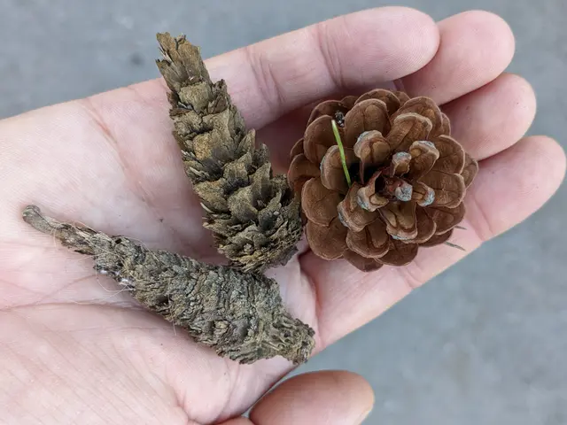
3Pine cones
If you are attentive and patient, you may spot red squirrels feasting on the pine seeds, which they access by gnawing the cone and tearing off the scales. A sort of core is often found on the ground.
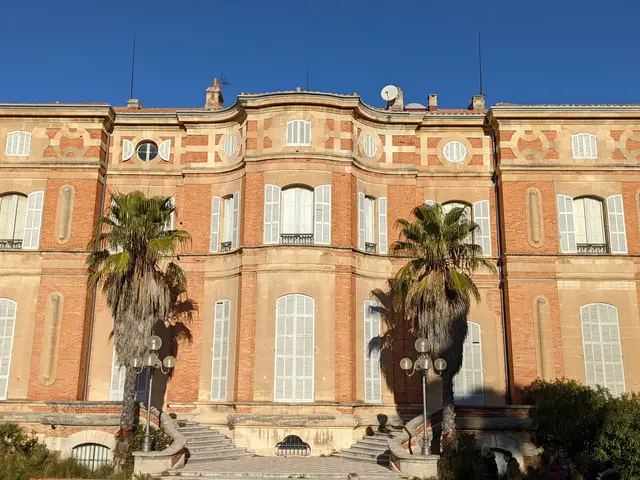
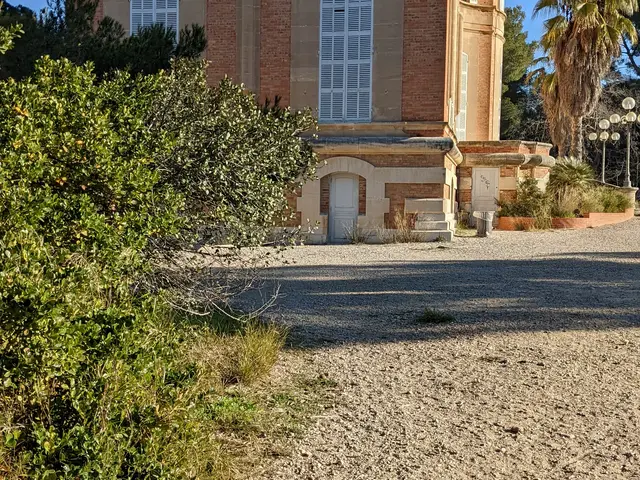
4Château Pastré
This beautiful 19th-century Provencal bastide overlooking the Pastré countryside and its vast park, which is open to walkers, has been completely restored.
The château was home to a number of intellectuals and artists who took refuge in Marseille during the Second World War, and was home to the Musée de la Faïence until 31 December 2012, when its collections were transferred to the Château Borély, which became the Musée des Arts Décoratifs in June 2013.
Its salons will host receptions for VIPs and prestigious events.
5Drinking water fountain
A word of advice: this is the last water fountain where you can fill up your water bottles before starting the climb to the summit of Marseilleveyre.
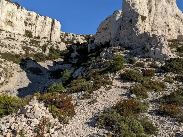
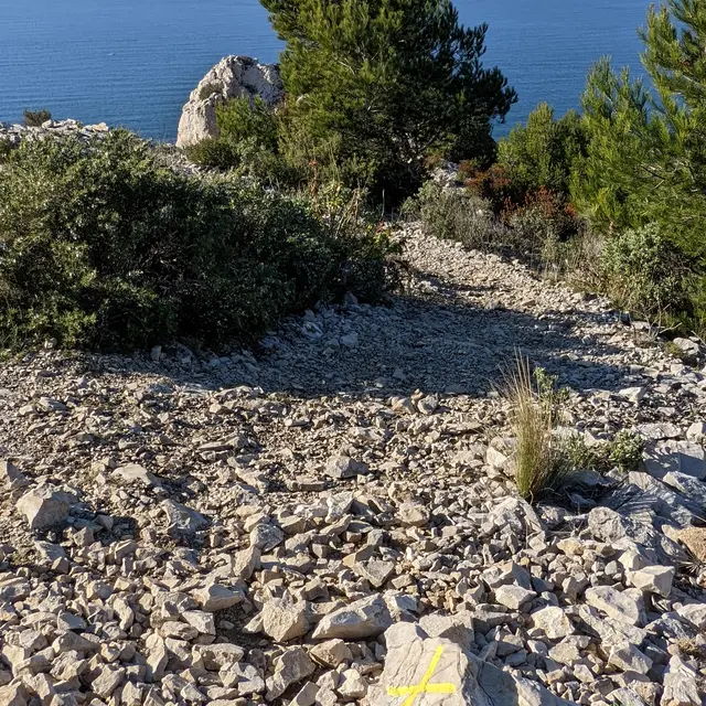
6Vallon des trois Gancets
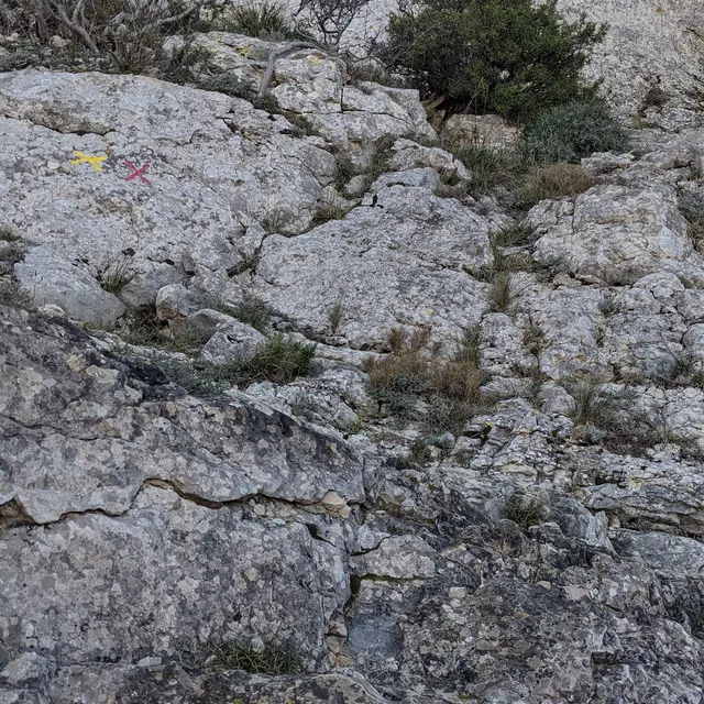
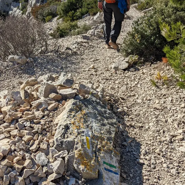
Once you've admired the Château Pastré, it's time to sharpen your eyes and spot the yellow markings. Sometimes you'll find it on a piece of furniture, a rock or a tree trunk. You begin to walk up a sandy valley, sheltered from the wind and shaded. The origin of the name has nothing to do with a story about three laces or "ganse", which is the loop of the lace. It has more to do with the distorted name of a former owner of the site, a certain Mr Trigance.
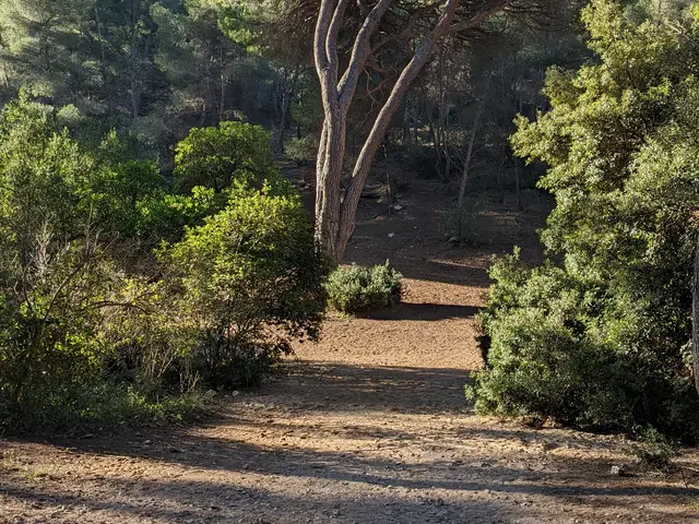
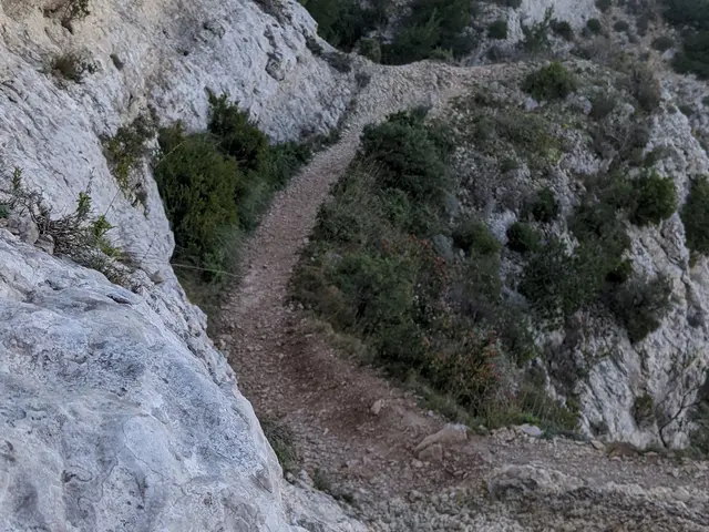
7Turn left shortly before the majestic pine tree
Here, at the end of a wide bend, you can see a very large pine tree in front of you. This is the moment to leave the fairly wide path and follow the yellow markers to the left, on a narrowing path. The vegetation becomes denser and it climbs.
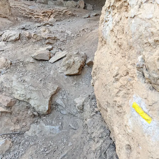
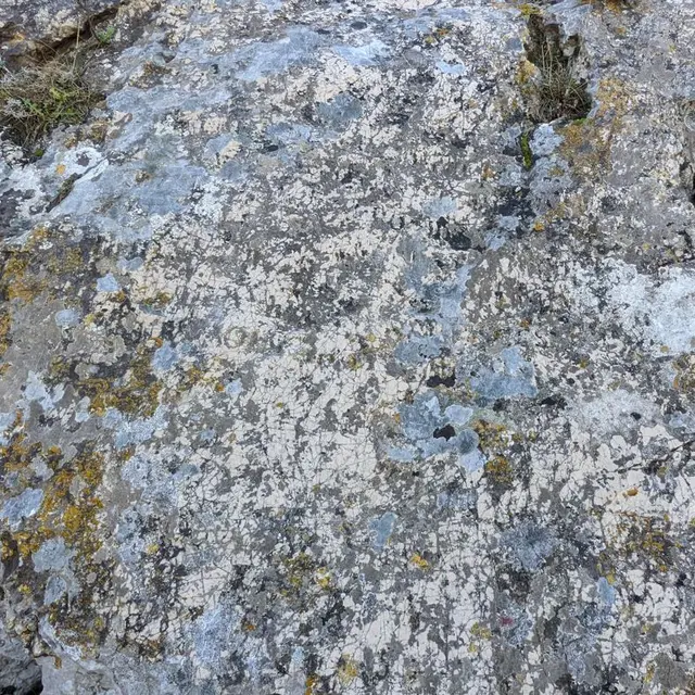
8Rock with several yellow markings
Follow the signs for Callelongue and turn left.

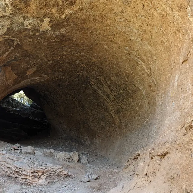
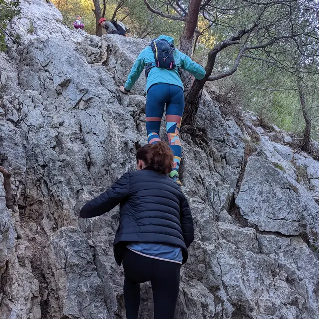
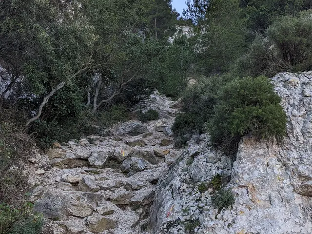
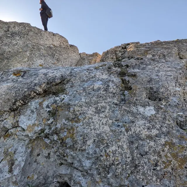
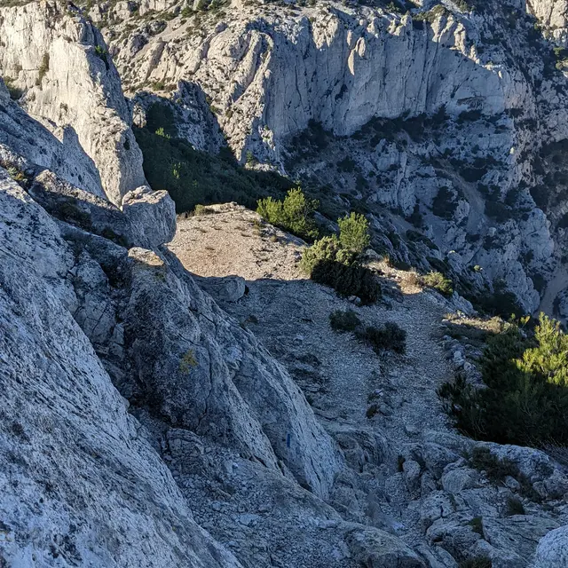
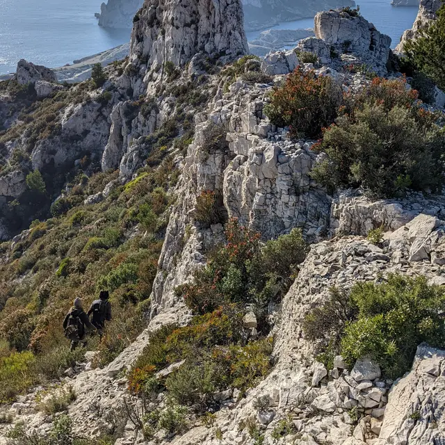
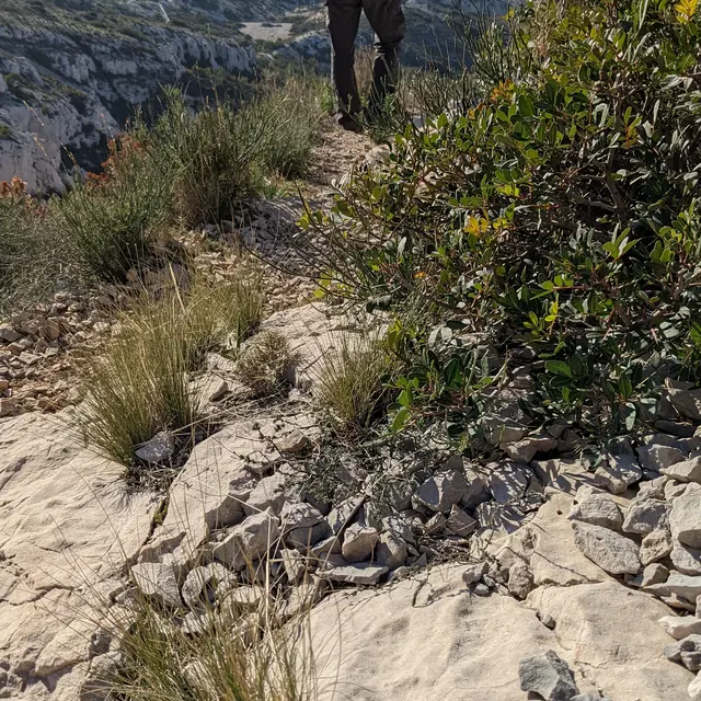
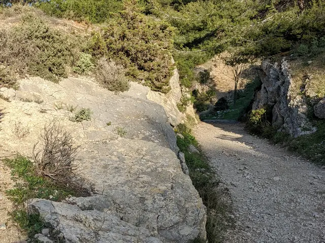
9Tricky passage
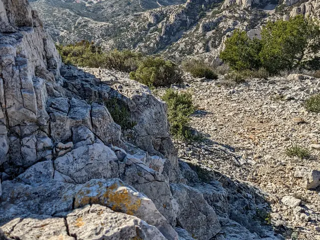
At the end of the vallon des trois Gancets, you reach a rocky spur that you have to climb. This passage allows you to gain height very quickly and leads to the Gull trail and a cave with a hole in it. Once through the cave, the slope becomes gentler.
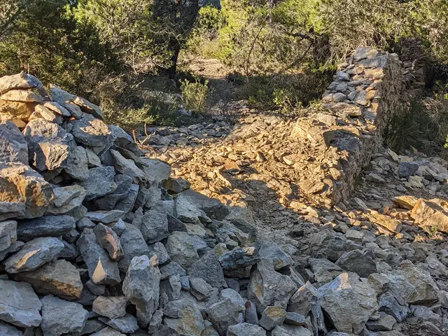
10Old property wall
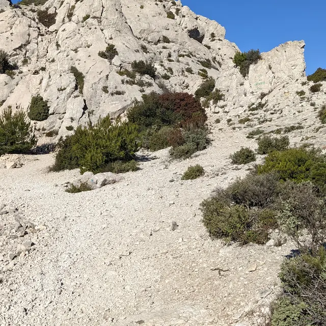
We pass a cairn (an artificial pile of stones) and head for the lower part of the Bois de la Selle. This is a plateau covered with pine trees, heather bushes and large clumps of rosemary.
When hiking in the Calanques, it's common to come across ancient drystone walls. When the land adjoined vast natural areas, such as the Marseilleveyre massif here, the owners used to demarcate their land in this way to avoid any conflict. This was particularly true during the hunting season, when quail, thrushes, red-legged partridges, pheasants and other game, now (almost) extinct, were hunted.
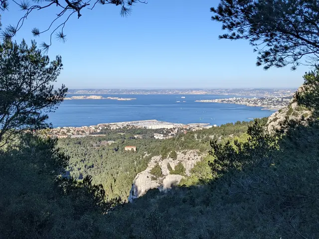
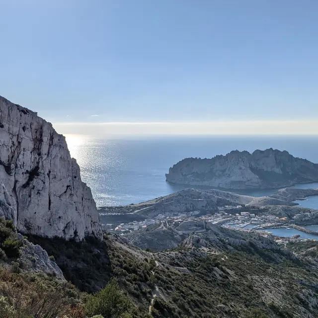
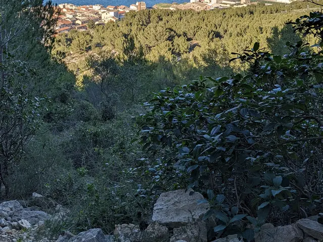
11Beautiful views from the heights
After crossing the plateau, take the time to turn around and admire the view of the Pointe-Rouge marina, the southern harbour, the islands of the Château d'If and the Frioul archipelago.
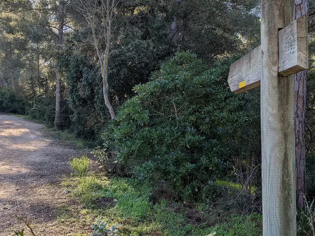
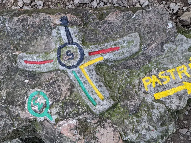
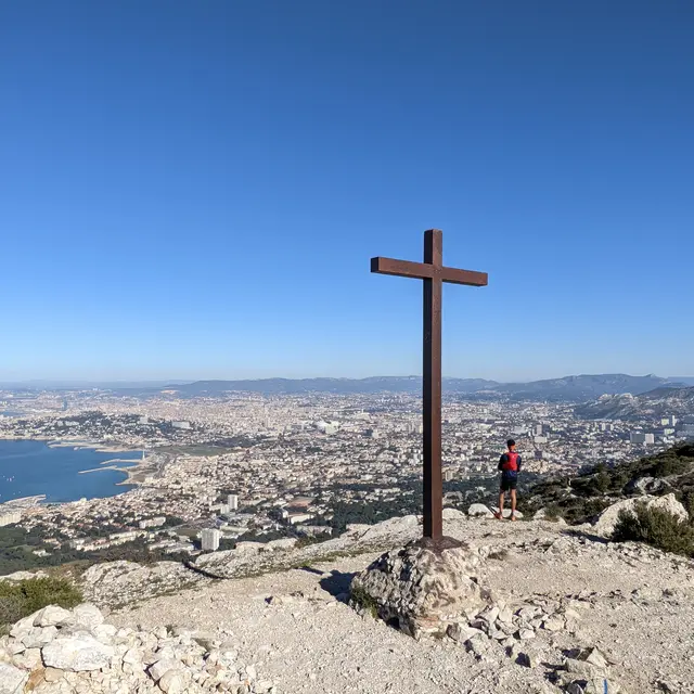
12Cross
This crossroads, marked by a cross in relief and 4 different colours on a large rock on the path, is a reminder to stay on the red path that will take you to the summit of Marseilleveyre.
13Red path
The path continues to climb well towards the summit.
14Junction of the red and yellow trails
The route continues to climb the limestone rocks.
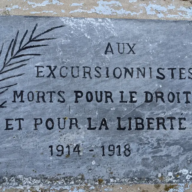
15Commemorative plaque dedicated to fallen excursionists
This plaque was sealed here shortly after the First World War. To honour the memory of all the men who fell for France, law and freedom. At the time, almost every family lost one of its members in the tragic fighting in Lorraine. That's why, in 1920, the association decided to build a monument on the Col de Bertagne, the highest point in the whole Bouches-du-Rhône department, at 1042 metres above sea level. It can therefore be seen from many places. The Pic de Bertagne is located right on the border with the Var département, overlooking the commune of Gémenos, a popular walking and hiking destination, famous for the Saint-Pons valley.
16Inscription Xavier Dechaux
Here we find a poem engraved by a certain Xavier Déchaux. The Calancoeurs association, which brings together lovers of the Calanques massif, works to promote knowledge of the history, heritage and traditions of Marseille's Calanques. The story of Xavier Déchaux is one of them. At the end of the 19th century, this stonemason liked to walk around the Calanques and got into the habit of engraving his name and a date in various places on the massif. In addition to the Marseilleveyre poem, the Calancoeurs found eight engraved cartouches hidden in the Calanques. Xavier Dechaux's life was marked by the death of his wife and seven children, which led him to commit suicide at the age of 44 in 1868.
Today, the text engraved in capital letters is almost illegible, but here is its transcription. Many thanks to the Calancoeurs association for its work in discovering, cleaning up, deciphering and sharing the contents of the poem:
From the top of this peak
Inhabitants of ancient Phocaea
Guided by providence
Of this Gulf knew the importance
The honour wisdom prudence
These are their seeds
12 August 1867 X. Dechaux
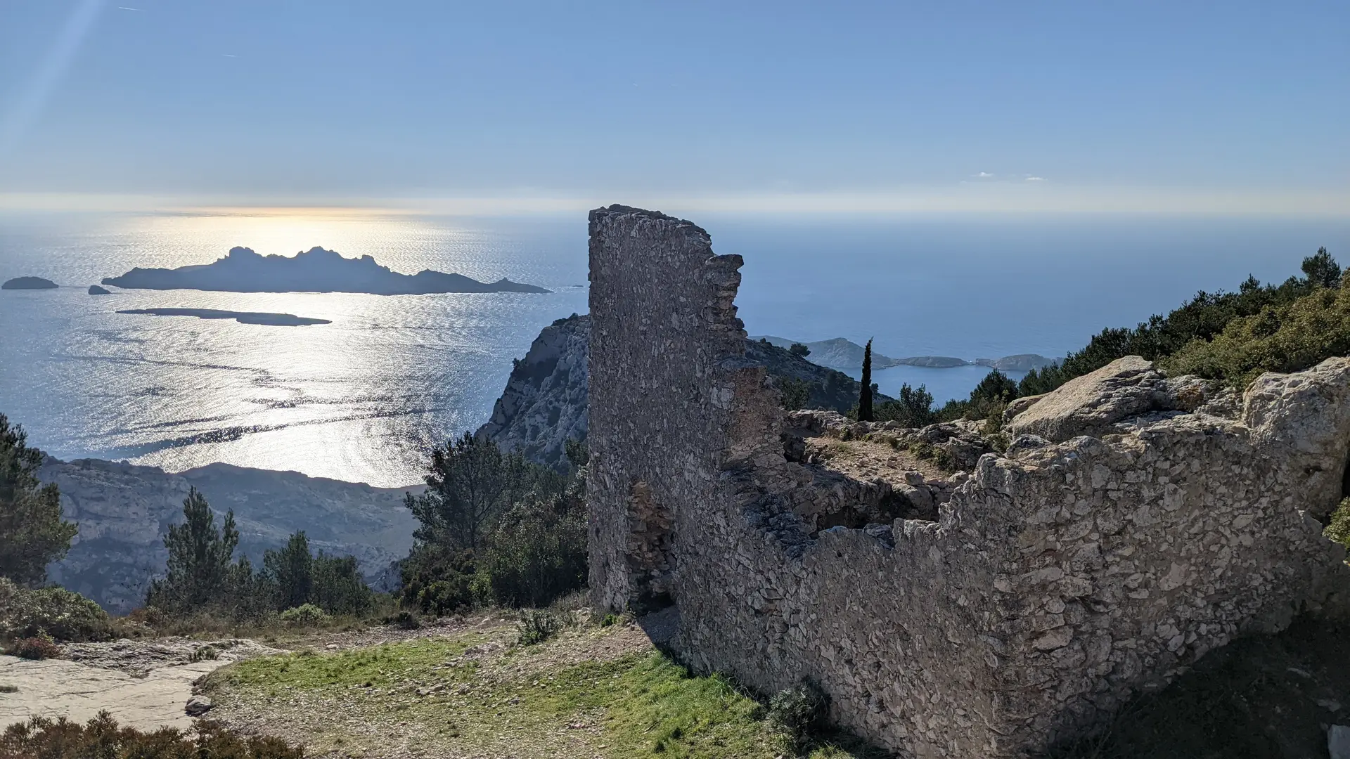
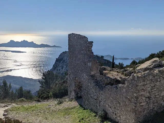
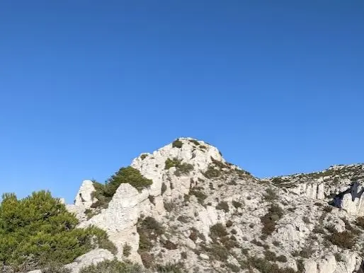
17Ruins of the old watchtower
It's an ancient lookout post, whose foundations date back to the 14th century, used to keep watch over Marseille and anticipate any invasions. The strategic location makes perfect sense, since we're at the top of Marseilleveyre, which rises to 432 metres, and from here you can enjoy a 360-degree panoramic view. The lookout was in operation until 1814. The Callelongue semaphore replaced it in 1864. It then served as a refuge for the French Alpine Club.
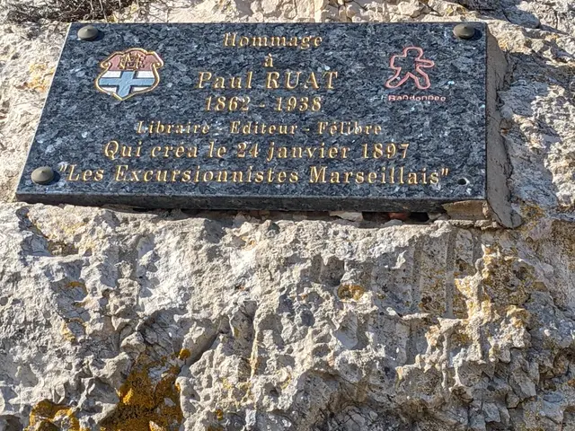
18Commemorative plaque dedicated to Paul Ruat
It pays tribute to the man who invented the excursionists' association. He was also behind the founding of the Marseilles tourist office in 1902. All his life, Paul Ruat was driven by a passion for hiking, and we owe him many publications and tourist guides. These works were intended to promote walking routes, accompanied by useful information to help walkers and future excursionists get to the sites to be discovered.
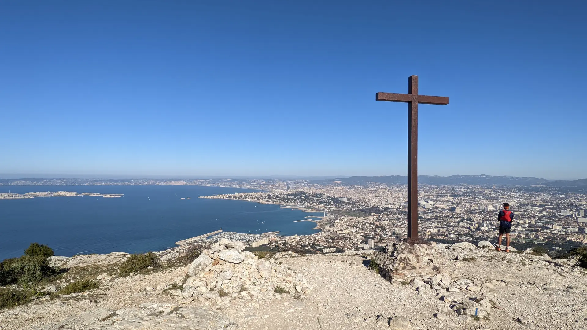
19The Marseilleveyre cross
The summit of Marseilleveyre, like others in Provence (Mont Puget, Garlaban, La croix des Glacières on the Sainte-Baume...) is marked with a summit cross. This practice has been widespread throughout the world since the 13th century. Here, it recalls a mission carried out by parishioners from the Montredon district below in 1896. The cross fell over several times. It was last replaced in 2002 and is now smaller than it was originally. To continue the walk, follow the blue markings down to the Pas de la Cabre.
20Hairpin bend on the blue path
From the height of the cairn, there is a beautiful panoramic view of the Mediterranean and all the islands of Marseille.
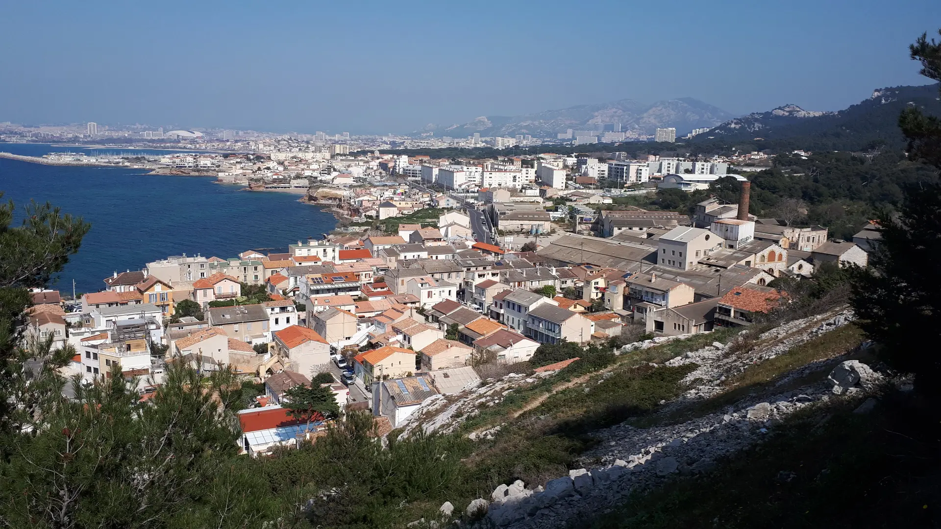
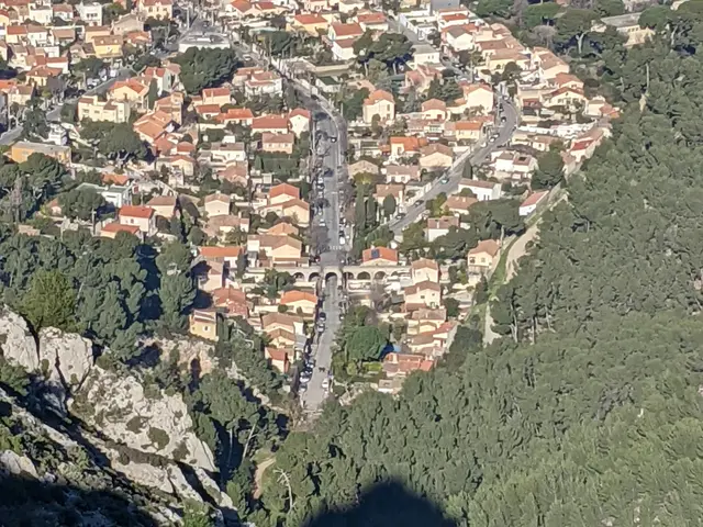
21View of the Montredon district
And in the foreground, amidst the houses, you can see an aqueduct that carries water from the Marseille canal.
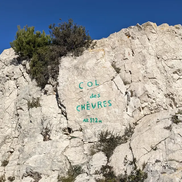
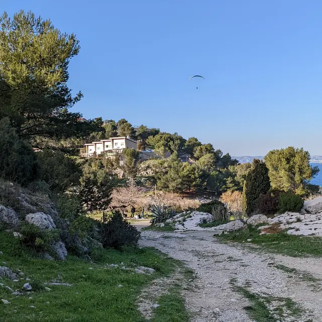
22The goat pass
The Col des Chèvres is a strategic crossroads at an altitude of 312 metres, providing access to signposted footpaths pointing towards the four cardinal points. From here you can reach the Campagne Pastré, the Madrague de Montredon and the calanques of Samena, Les Goudes and Callelongue.
The name pays tribute to an animal that was farmed in the massif until the mid-nineteenth century. Goats, like sheep, provided milk, meat and wool and were adapted to the water-poor pastures of the Calanques, unlike cattle. From here, follow the yellow markings.
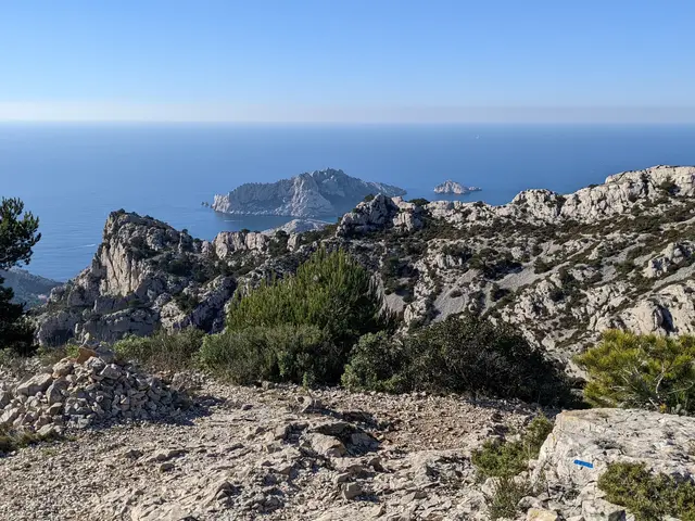
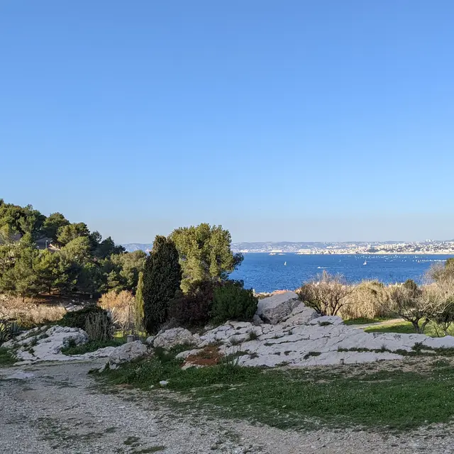
23Viewpoint
Here the path curves into a hairpin bend and, from the left, offers a sublime view of the half-moon, the Goudes rock, the villages of Callelongue and Goudes, Cap Croisette, the Pharillons and the Maïre and Tiboulen de Maïre islands.
24Col Moutte
At the crossroads at Col Moutte, at an altitude of 260 metres, the yellow path meets the brown path leading up to the summit of Béouveyre. For the moment, however, you should always follow the yellow markings. The path climbs slightly towards the Pic de la Famille.
25Pic de la Famille
After helping to found the Société des Excursionnistes Marseillais, of which he was the very first president, Dominique Piazza went on to found another hiking association, "la Famille", in 1912. This association also organised a number of social actions for former soldiers, refugees, orphans and people in need following the consequences of the First World War. Hiking associations used to name a natural site, a shelter or a summit. So this peak by the side of the path, which rises to 280 metres, was named after this new association.
26Pointe Piazza
Logically, the 224-metre peak is a tribute to Dominique Piazza. Another interesting point in this man's biography is that he invented an object that is over 131 years old and that many people collect. It's the photographic postcard. Unfortunately, he did not apply for a patent, and publishers appropriated his process.
27Right fork to path 1a
After admiring Pointe Piazza, it's time to leave the yellow path and head down to the right towards the dotted black path 1a, which joins the GR 51 - GR 98.
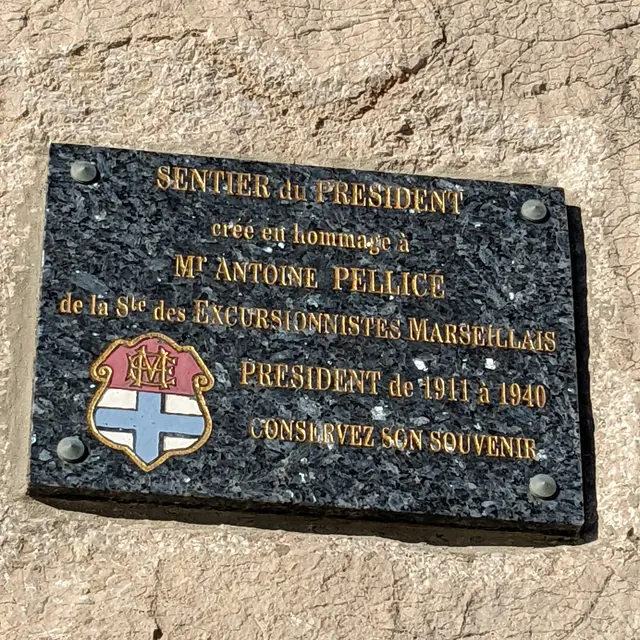
28Junction with the GR 51 - GR 98
Here we reached the President's Trail, dedicated to Antoine Pellicié, who took over as head of the Excursionnistes Marseillais in 1911 from Dominique Piazza. He held the position for almost 30 years, until 1940. He devoted his life to the association, which owes him a great deal.
It's another twenty minutes or so before you reach the last point of interest and the end of this walk.
29Junction between GR, blue path and brown path
We start the final descent towards the Samena and Madrague de Montredon districts.
30Right fork
Turn right to reach the entrance to Parc Adrienne Delavigne.
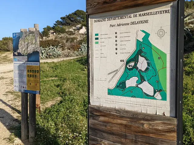
31Adrienne Delavigne Park
This park now belongs to the département. It used to be a quarry, but was filled in shortly before 1980. The park is popular with walkers and sports enthusiasts who enjoy a variety of activities. It also has a bowling green with a drinking water fountain and shaded areas for picnics. It is close to a bus stop for line 19, which takes you back to the city centre.
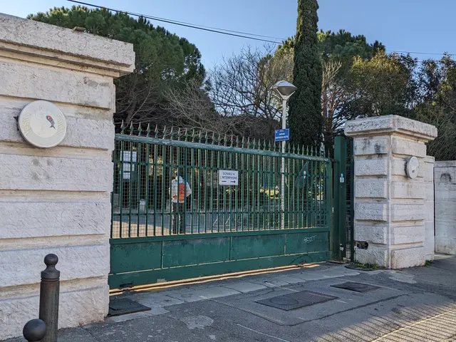
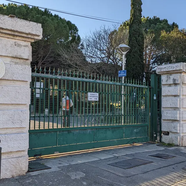
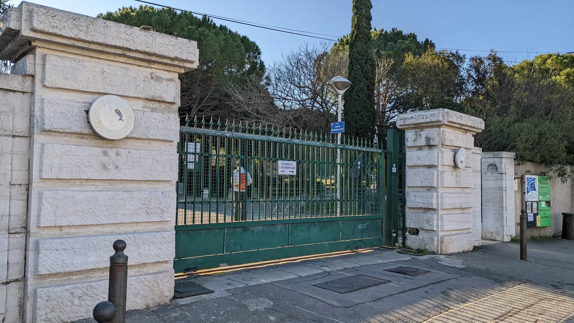
32Entrance to Parc Adrienne Delavigne