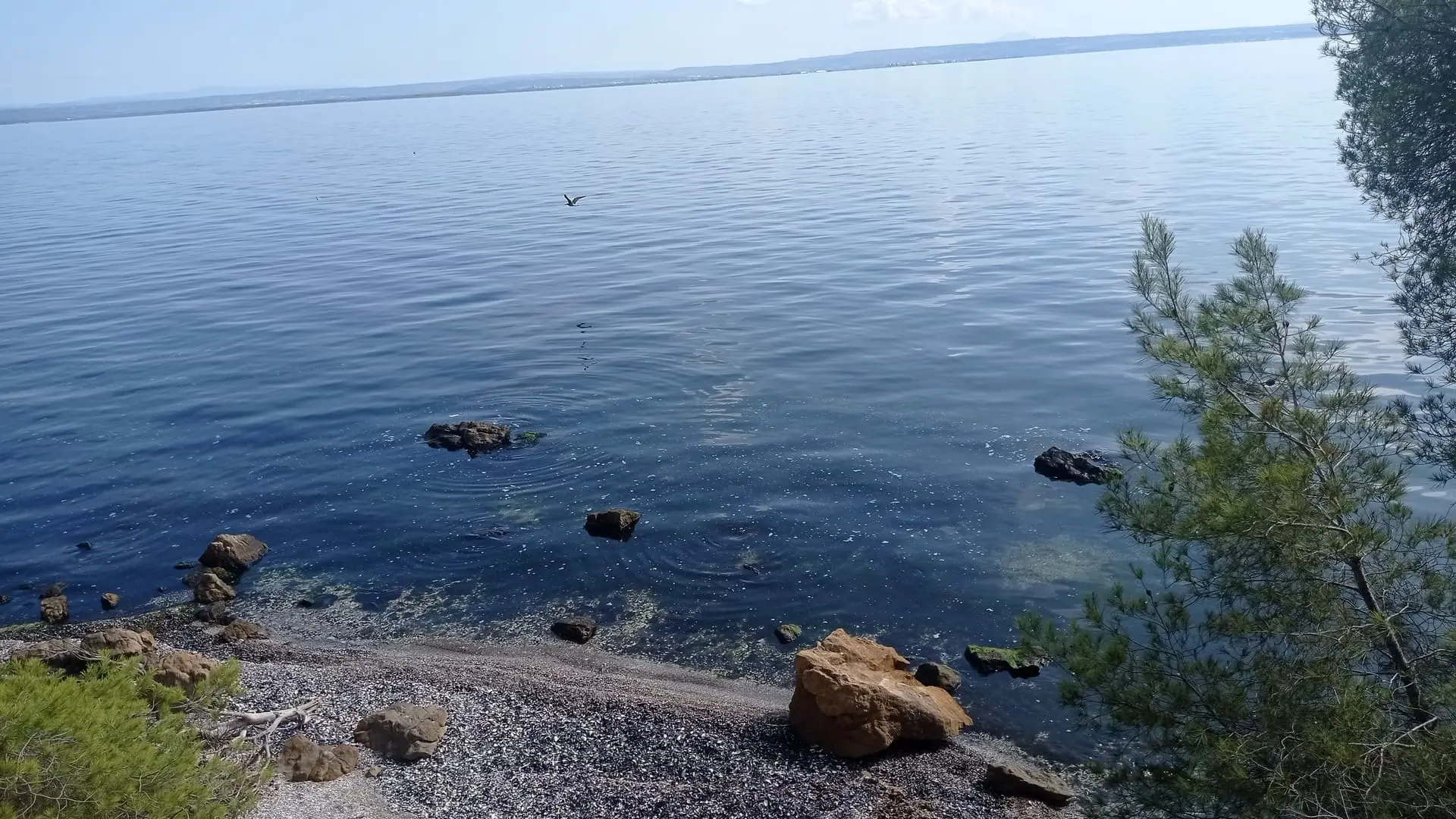
The Entre mer et Étang trail, open to the Mediterranean Sea, bordered by the hills and the banks of the Étang de Berre, at the gateway to the Camargue, is 38 km long.
Eight walking and hiking loops within the path "between sea and pond" which alone constitutes a large local loop. In all, it's 90 kilometers that cross Martigues, Port-de-Bouc and Saint-Mitre-les-Remparts.
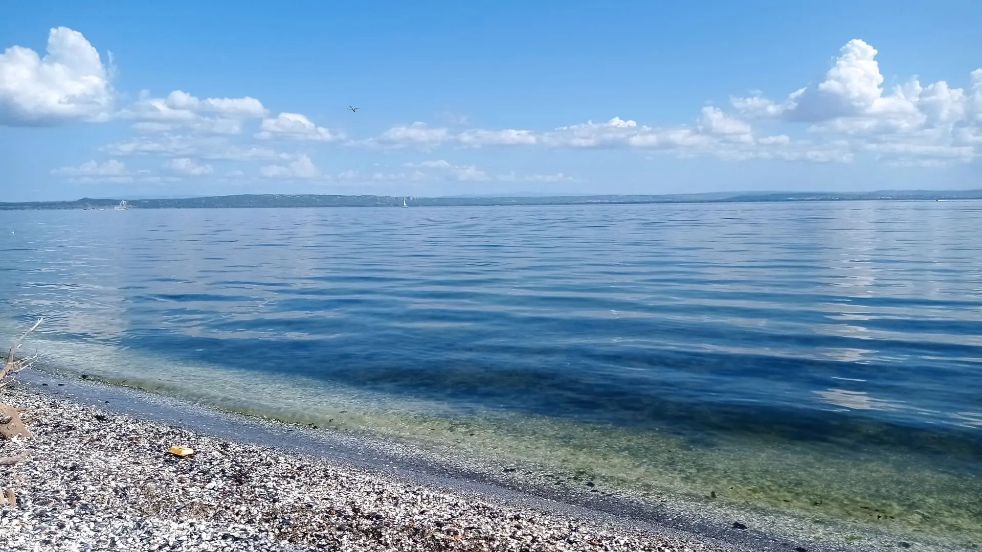
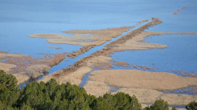
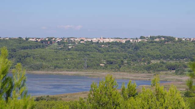
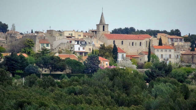
Municipal or inter-municipal, these loops allow you to discover a contrasting and sometimes wild landscape, between nature and industries, between sea and ponds. This is an exceptional territory, that of the largest salt pond in Europe, the Etang de Berre, a UNESCO World Heritage candidate, but also that of the Etangs du Pourra, Citis, Engrenier, Lavalduc and of the Mediterranean Sea. It offers a unique biodiversity to discover and preserve.
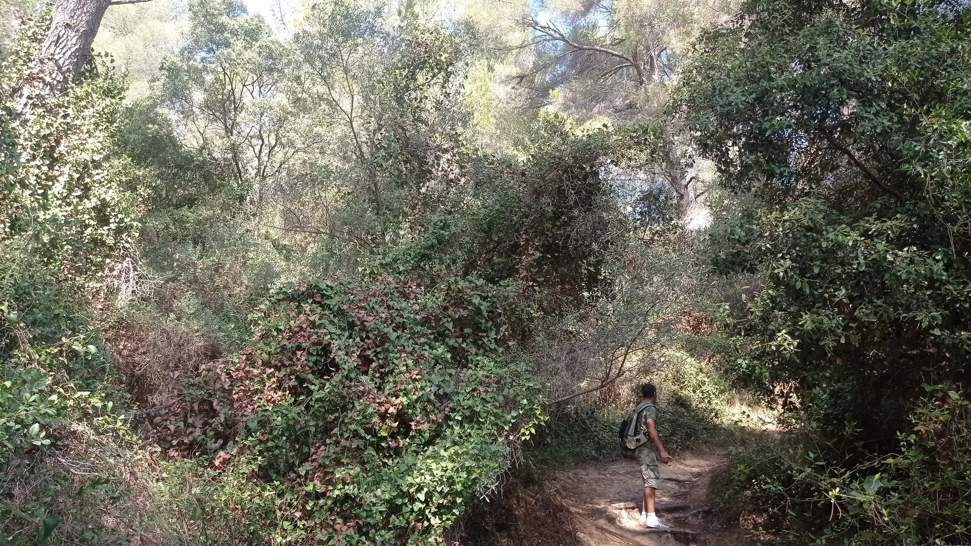
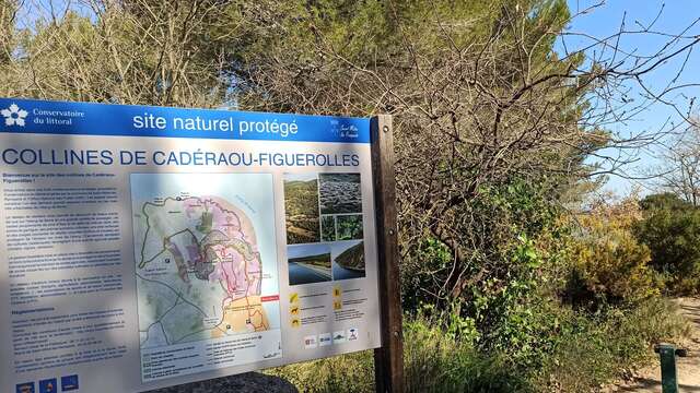
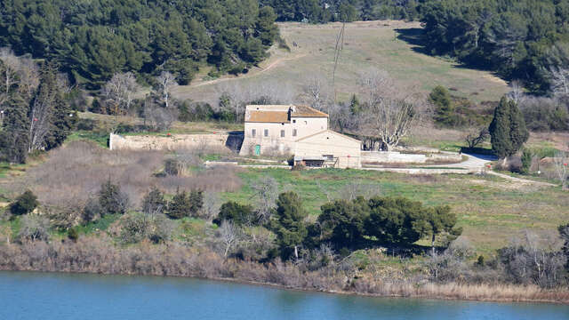
On the land side, we walk between the forest of Castillon, its Aleppo pines, its magnificent reed bed, where a beautiful diversity of flora and fauna develops, the large park of Figuerolles and its houses of rural life or the classified site of Saint-Blaise and its Gallic vestiges that take us back to the heart of our roots.
Within this territory, industry is strongly represented. Petrochemicals, steel industry, port activities... you will discover a landscape of rare strength.
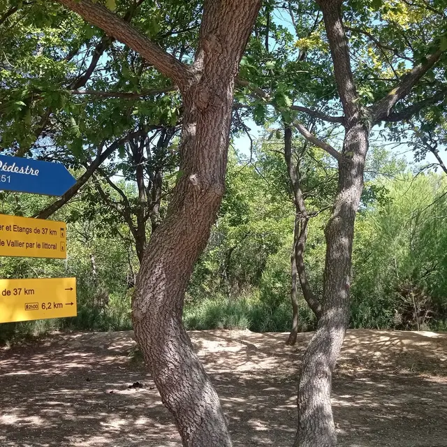
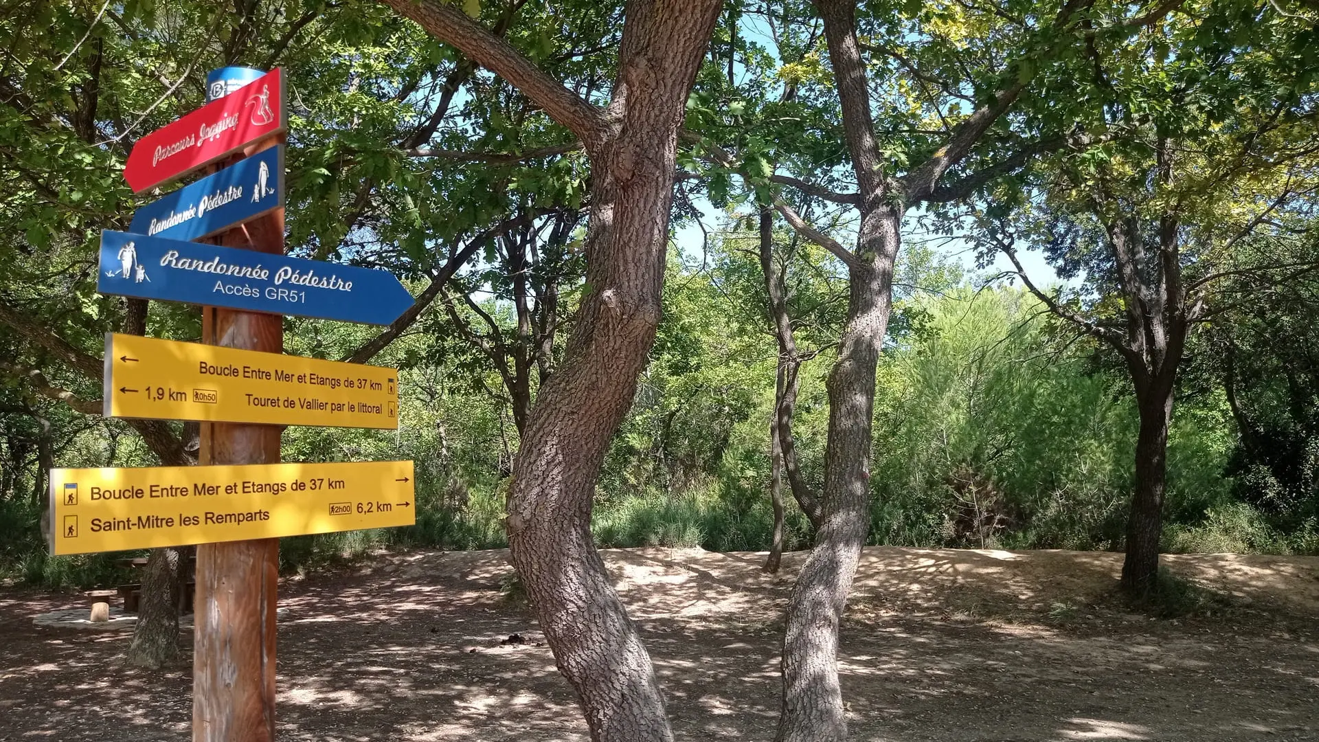
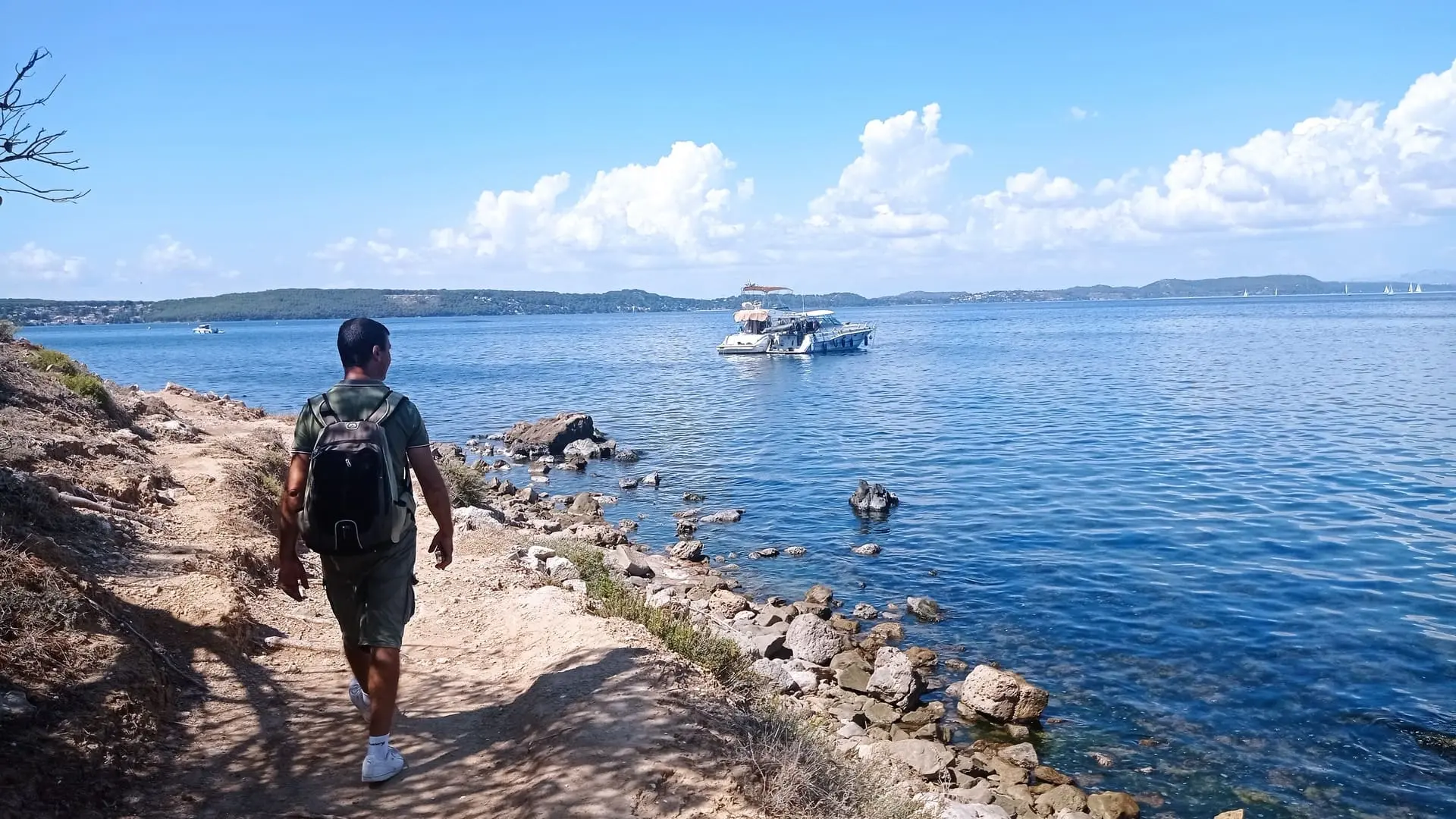
When you cross the three municipalities, you can only be seized by this nature and these industries which rub shoulders, which collide. These routes are designed for family outings. They are also aimed at experienced hikers and walkers, not forgetting the paths accessible to people with reduced mobility.
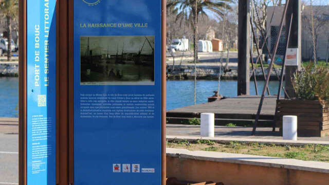
A larger loop offers a complete discovery in three stages crossing the three municipalities with a passage through the station of Port-de-Bouc for access by train. Appointment Between sea and ponds for the starting signal. All you have to do is bring a hat, a water bottle, a good pair of closed shoes and the territory is yours!
The 8 inner loops from 4 to 14 km long and different elevations:
- Forest of Castillon-ponds of Le Pourra and Engrenier.
Length: 8 km, height difference 223 m, fairly easy level.
Accessible to motor and auditory handicaps.
- The peninsula - the coastal path.
Length: 4 km, elevation 0 m, easy level.
- Loop of Figuerolles.
Length: 6 km, height difference 125 m, fairly easy level.
- Big towers.
Length: 6.5 km, height difference 189 m, fairly easy level.
- Forest of Castillon and ponds of Saint-Blaise.
Length: 7 km, height difference 146 m, fairly easy level.
- From crepon to rocaladès.
Length: 7 km, height difference 189 m, fairly easy level.
- Caderaou's balcony.
Length: 13.5 km, height difference 397 m, level not very difficult.
- Between sea and ponds.
Length: 38 km, elevation 640 m, fairly easy level.
Departing from Port-de-Bouc station towards Massane.