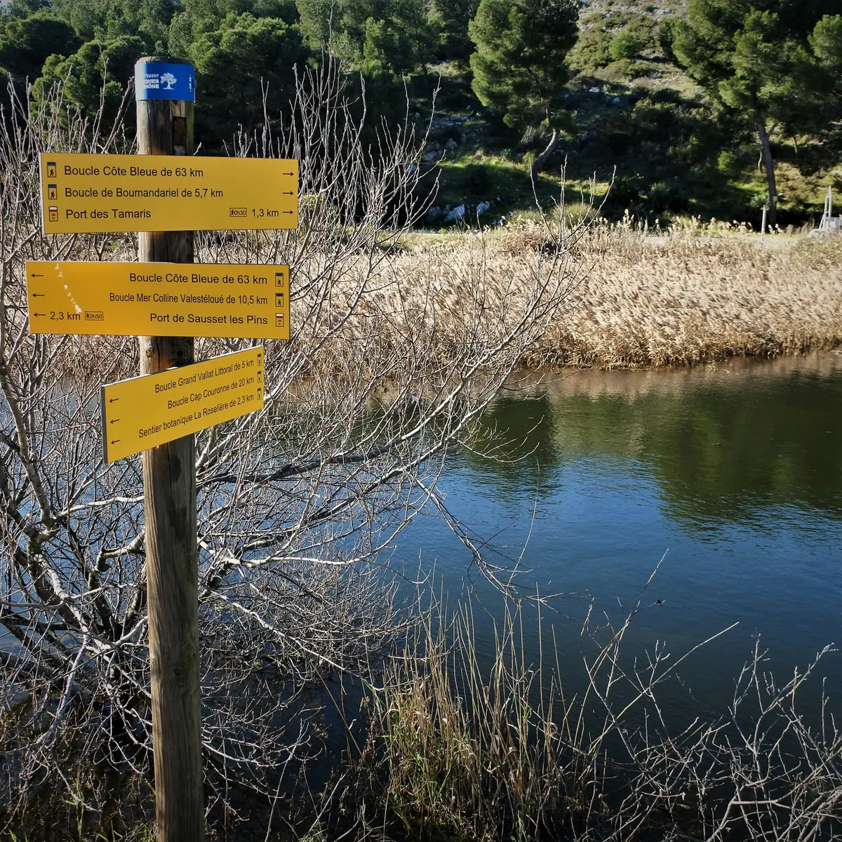
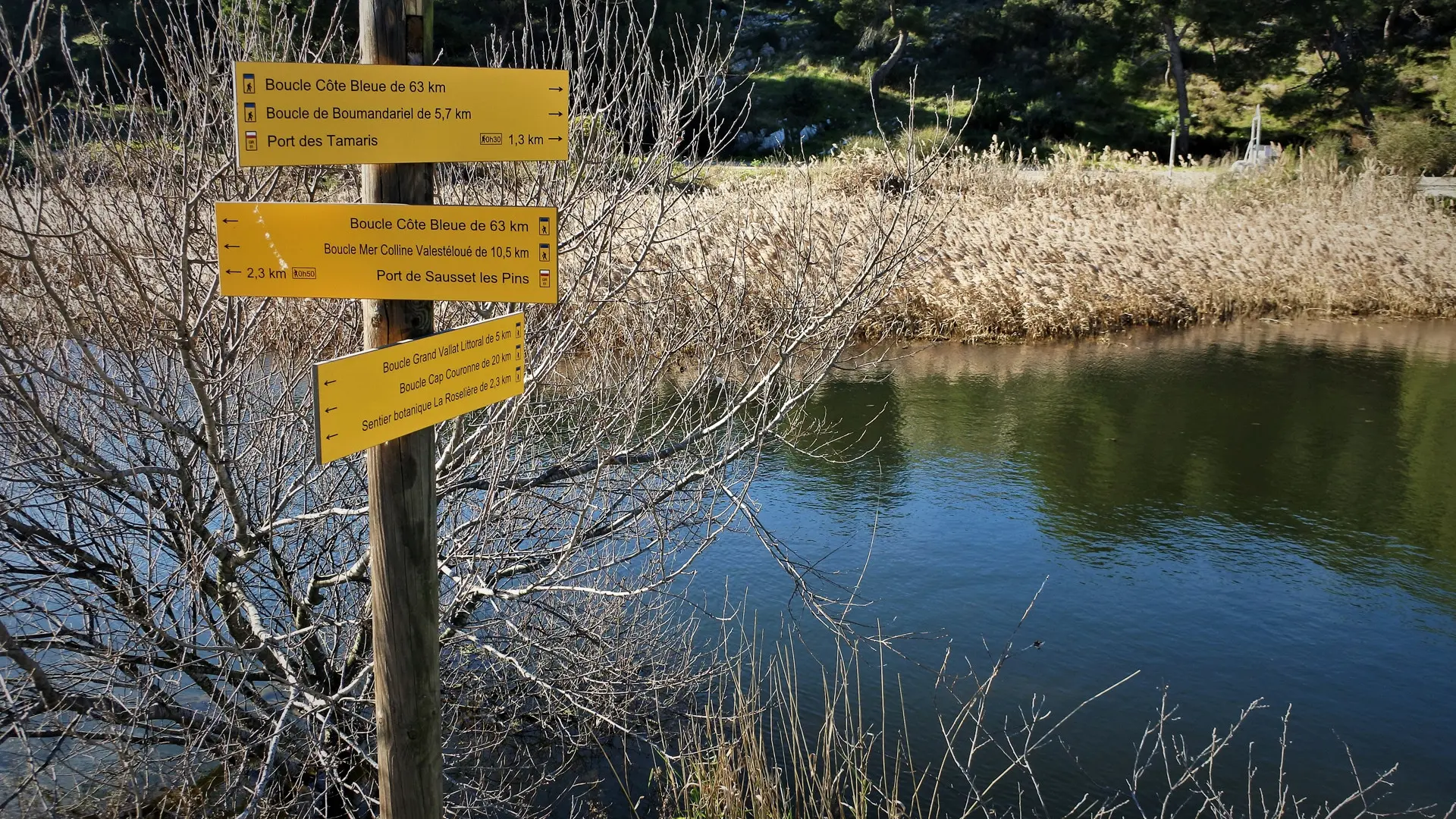
A one-hour walk along the reed bed, home to many species of birds.
The botanical trail is rich in Mediterranean plants and trees and is presented on descriptive panels. Start of the trail accessible to all.
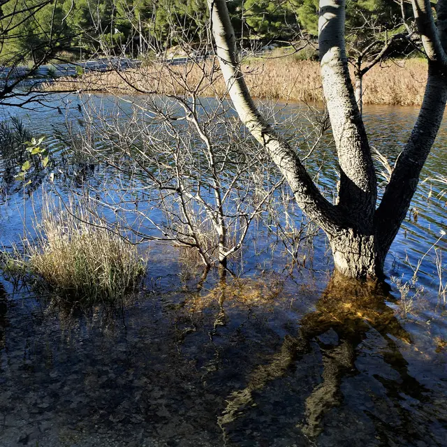
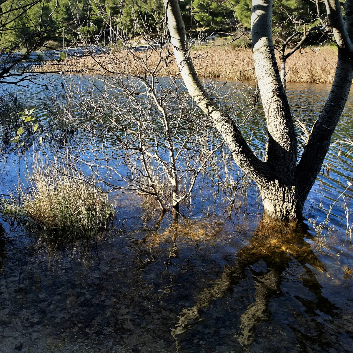
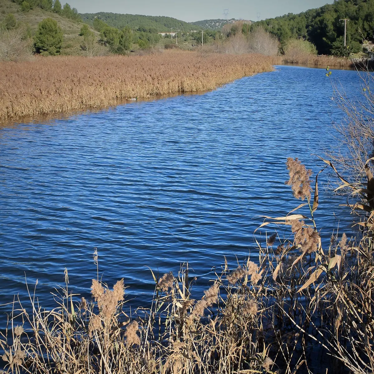
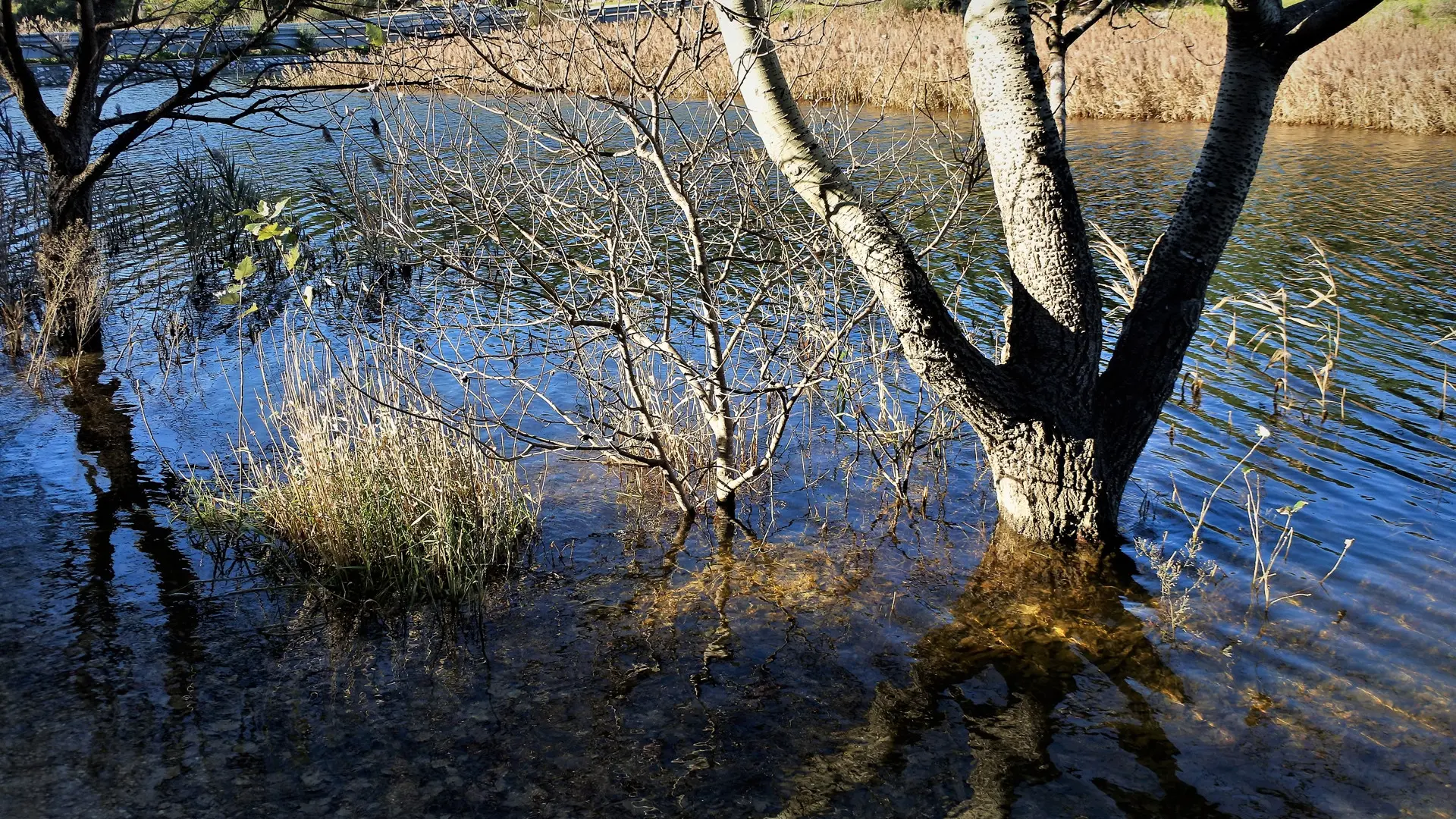
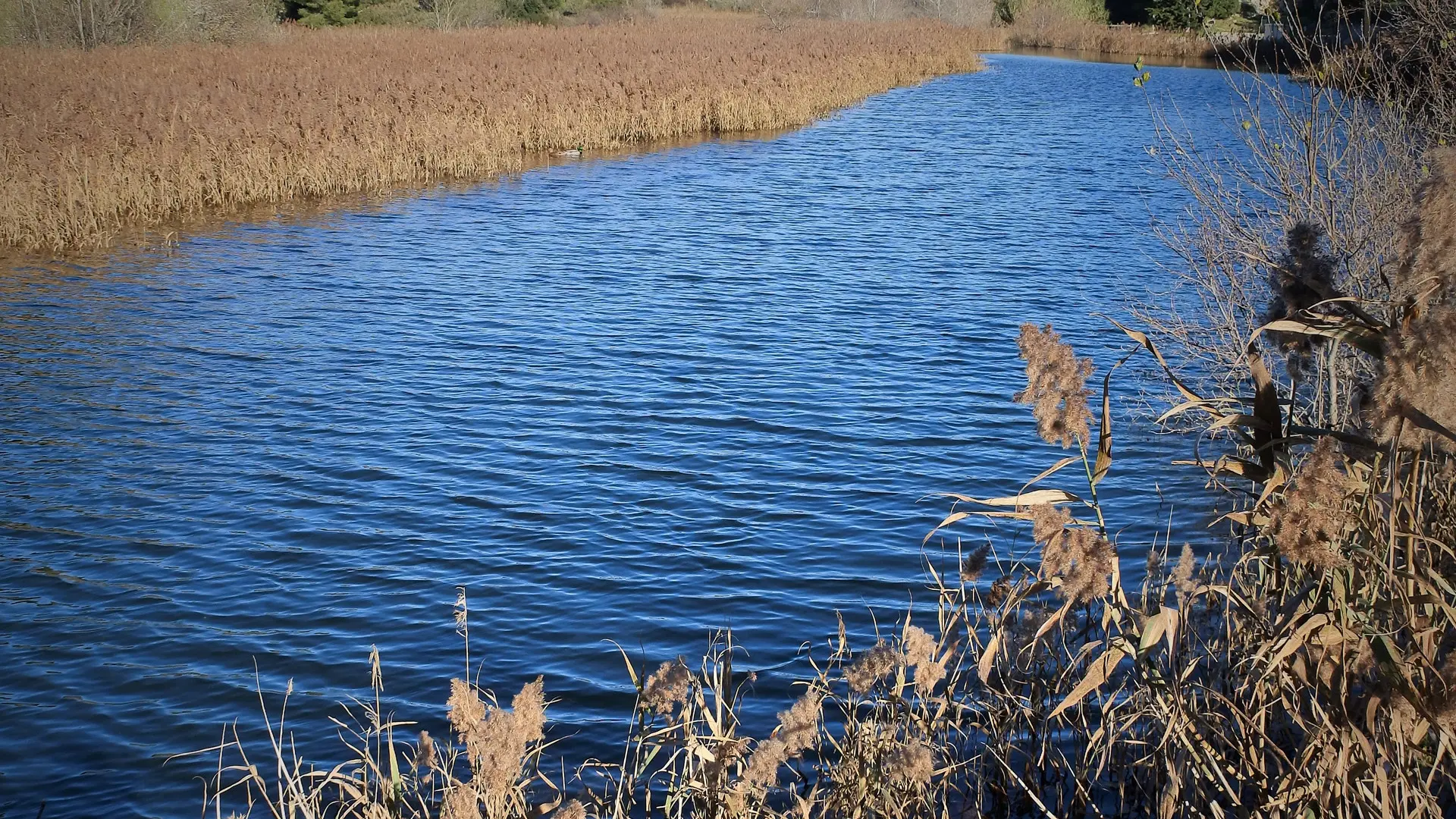
La Roselière: Between Sausset-les-Pins and La-Couronne lies a jewel: the "reed bed", the only wetland on the Côte Bleue. Initially exploited for water supply, breeding and the collection of rushes, it is a wild, natural site, very attractive in particular for the birds which play a major role all year round.
A large valley with a flat bottom called the Grand Vallat valley, which comes down from the Estaque mountain range, leads to the Boumandariel cove.
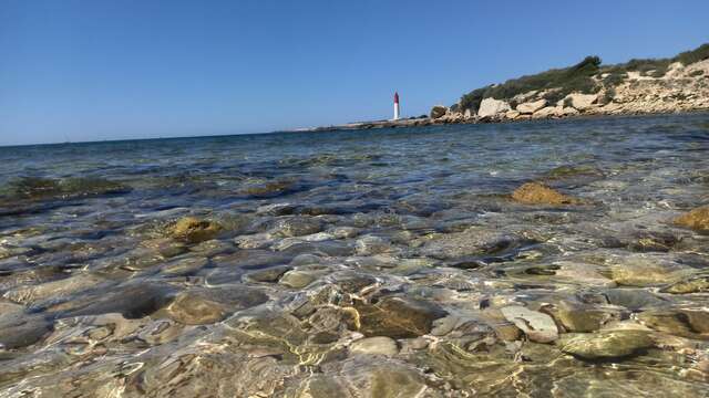
While the bottom of the valley is occupied by a reed bed, the rest of the biotope is formed by a small beach of sand and rocks bordering the sea.
Further west, in the direction of Tamaris, the coastal rocks are dominated by a hill where the Mediterranean vegetation is very rich.