See photos (2)

Les Bourgailles - table d'orientation des Caucarières

Sport, Pedestrian sports, Hiking itinerary in Ensuès-la-Redonne
4.1 km
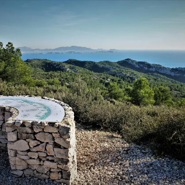
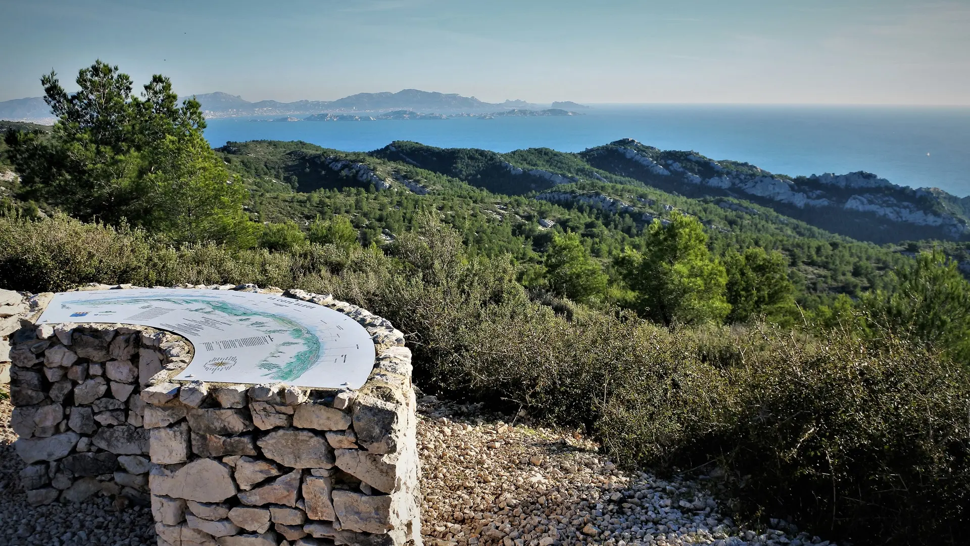
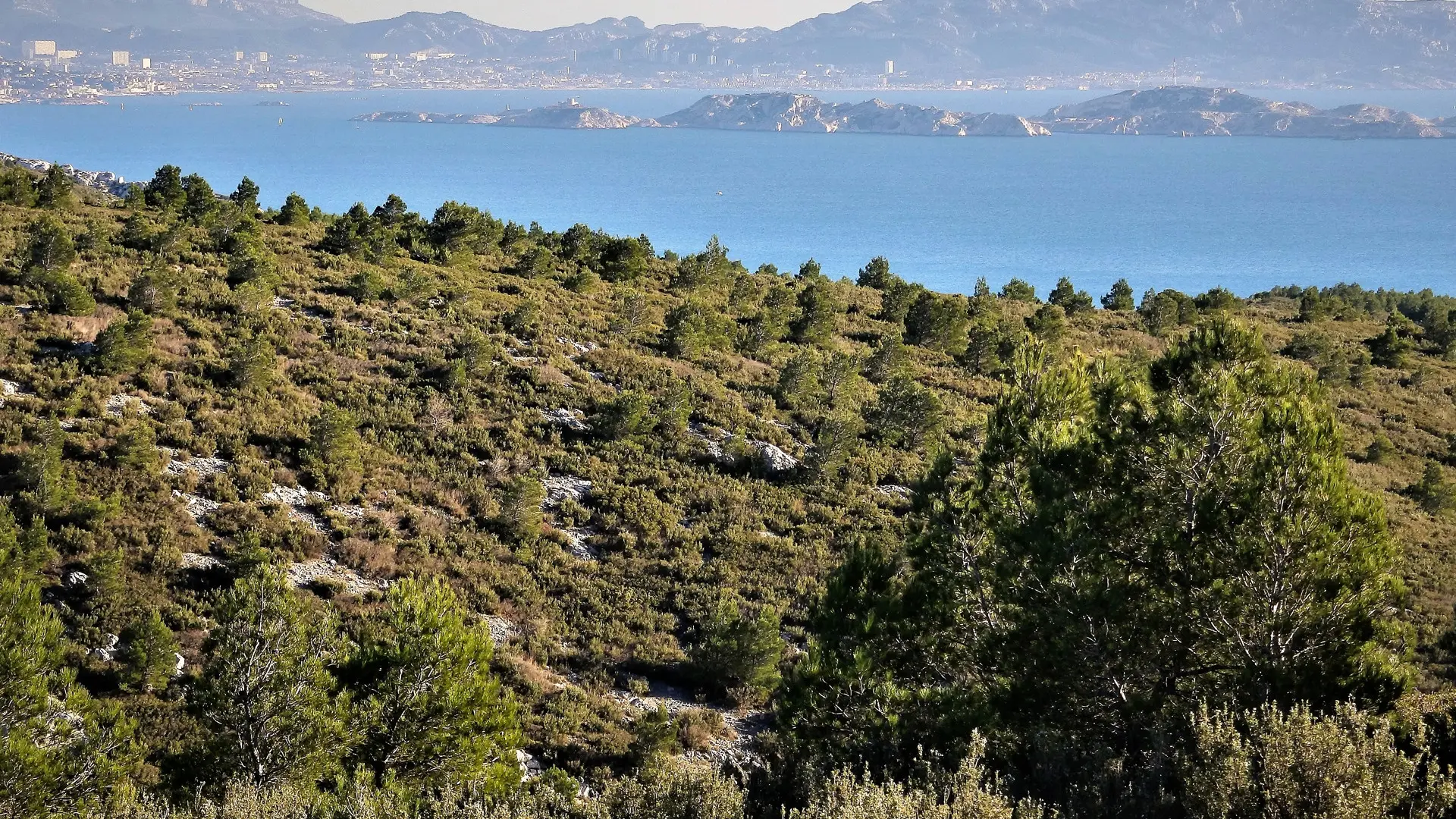
  • Bourgailles Caucarières hike, 4km, on the paths of the Côte Bleue.

  • This route allows you to take an easy and pleasant family walk in the heart of our forest while having a breathtaking view of the sea. In the middle of the route, an orientation table allows you to find your bearings. At the starting car park, picnic tables allow you to take a lunch break.
  • Departure
    Ensuès-la-Redonne
  • Difference in height
    112 m
  • Plain text period
    All year round.
  • Documentation
    GPX / KML files allow you to export the trail of your hike to your GPS (or other navigation tool)
112 meters of difference in height
  • Maximum altitude : 211 m
  • Minimum altitude : 94 m
  • Total positive elevation : 112 m
  • Total negative elevation : -109 m
  • Max positive elevation : 105 m
  • Min positive elevation : -65 m
Close