Nature is often very beautiful here and the farm animals can be seen very closely. What magic to see the gaze of children resting, sometimes for the first time, on curious, majestic animals.
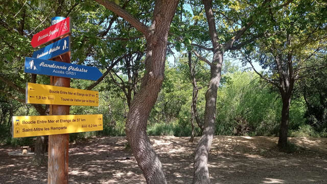
Walking trail for exploring the farming activity in the Grand Parc de Figuerolles. Circular route along Étang de Berre.
In detail : Natural and rural landscapes.
The Parc de Figuerolles Mediterranean gardens are located on the site of the former Sunhary de Verville family estate. The plantations are organised in 6 gardens, grouped by their resistance to drought. The site of about 2 hectares includes almost 300 plant species representative of flora adapted to the Mediterranean climate, as well as 27 native plant species such as Aleppo pine and evergreen oak, and other species introduced by the Sunhary de Verville family including yucca, crepe myrtle and oleander.
Rural houses and other buildings built by farmers, which featured on the land registry from 1817, can still be seen in the park. The houses were used by the owners and/or in some cases for the larger houses, their farming staff. The largest stretches over 3 plots. It had a surface area of 279 m2. It is the large farm that belonged to the Marine Captain Ytier in 1817.