Aller au contenu principal
Accessibilité
Search
en
Visitors
Travel trade
Press
Groups
Convention Bureau
Hotels
Citypass
Visits & experiences
Discover Marseille
The must-see places in Marseille
The Frioul Islands and the Château d'If
The Calanques of Marseille
'Notre-Dame de la Garde' basilica
Beaches and swimming
Other desires
Parks and gardens in Marseille
Culture and heritage
Traditions
Organize your stay
Finding accommodations
Restaurants in Marseille
Where to go out, where to have fun?
All activity providers
More information
Marseille sustainable
Access and practical information
Blog Marseille
Blog Marseille
Outings Marseille
Marseille sustainable
Sustainable shops and craftsmen
Guide of the green tourist
Sustainable accommodation in Marseille
Sustainable restaurants in Marseille
Sustainable travel offers
The Marseille Explorer's Guide
Assessing the carbon footprint of your trip
Our sustainable tourism action
Give us your opinion
Homepage
Discover Marseille
Calanques, beaches and nature
Hiking
Grand Vallat Littoral
Grand Vallat Littoral
Sport
Pedestrian sports
Hiking itinerary
16 Avenue Du Port, 13960 Sausset-les-Pins
Getting there
×
Open the itinerary in
Google Maps
Apple Plans
Waze
Mappy
Share
×
Share this sheet
Grand Vallat Littoral
E-mail
WhatsApp
Facebook
X
LinkedIn
Pinterest
©
Provence Tourisme
©
Provence Tourisme
©
Provence Tourisme
©
Provence Tourisme
©
Provence Tourisme
×
©
Provence Tourisme
©
Provence Tourisme
©
Provence Tourisme
©
Provence Tourisme
©
Provence Tourisme
Description
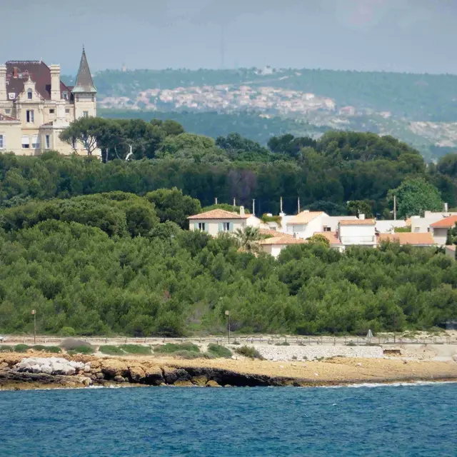
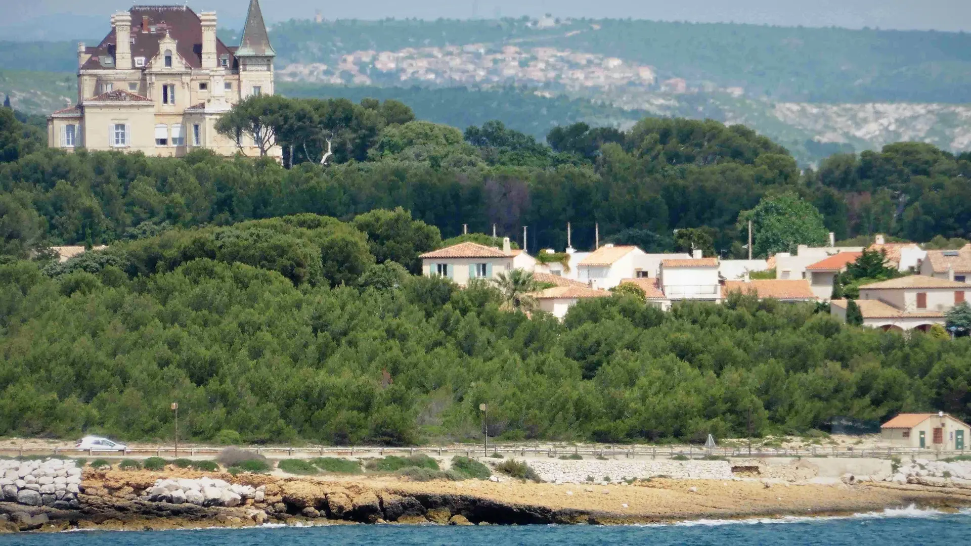
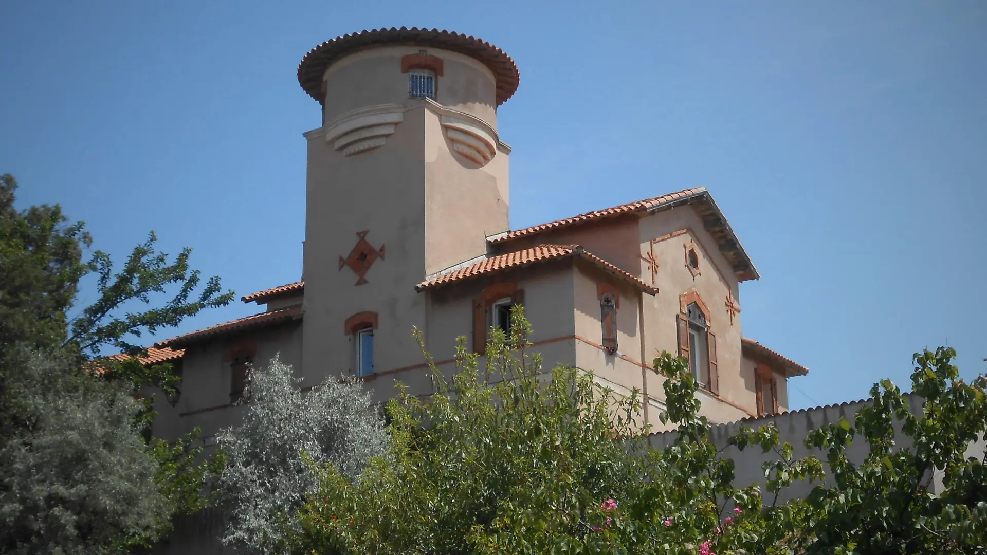
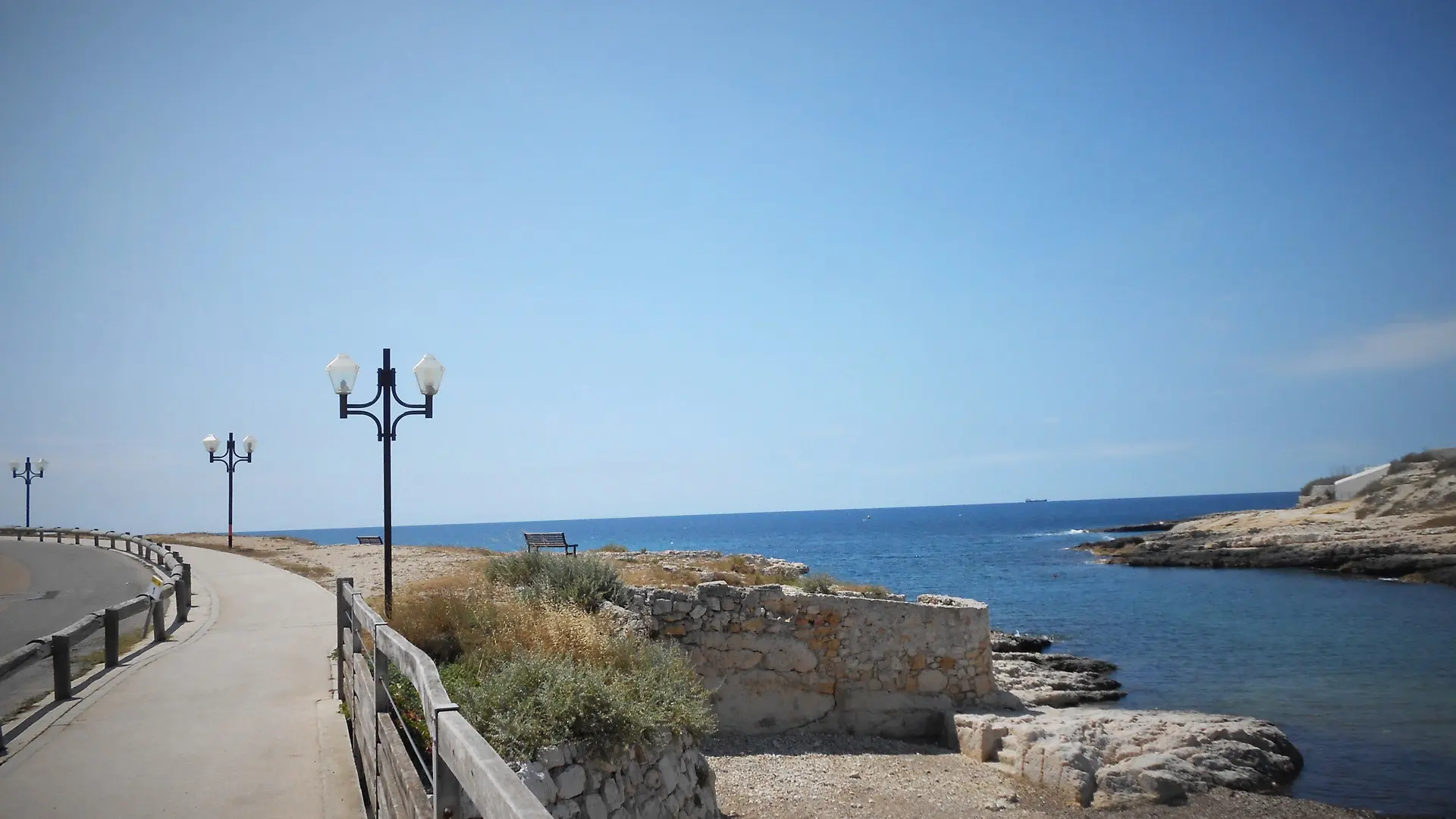
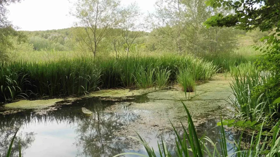
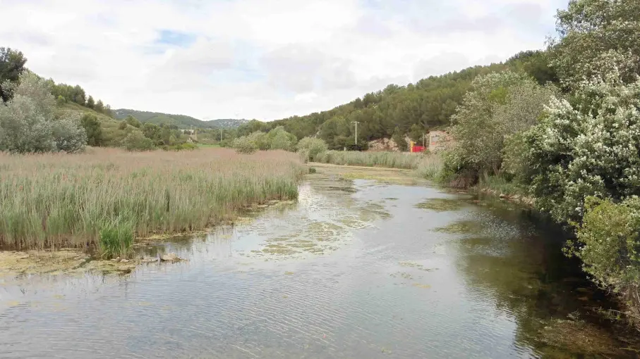
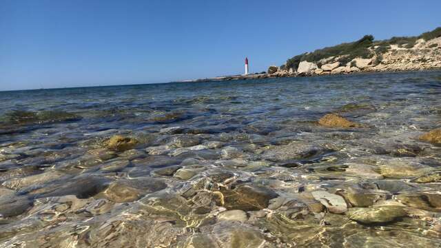
A seaside hike along the reed bed path, where you'll discover the remains of the former water supply to Château Charles-Roux. Discover the château's former park, the dam and the now-filled reservoir.
Accessible for disabled
Read more
Documentation
TopoGuide PDF
Accepted customers
Level green – easy
All year round.
Grand Sentier de la Côte Bleue
A hiking itinerary on the Côte Bleue, between the green of the pine forests and the blue of the sea. Comprising 17 loops, this route will keep you busy for 3 or 4 days!...
Ensuès-la-Redonne
Close
Popular searches
{% label %}
Filter search
Filter search
Visitors
Professionals
Groups
Convention
Press
Marseille Experience
Page types
All
Articles
Agenda
Lists
Activities
Aucun résultat
/
English
Français
Español
Italiano
Deutsch
中文
日本語
한국어
Close
×