Aller au contenu principal
Accessibilité
Search
en
Visitors
Travel trade
Press
Groups
Convention Bureau
Hotels
Citypass
Visits & experiences
Discover Marseille
The must-see places in Marseille
The Frioul Islands and the Château d'If
The Calanques of Marseille
'Notre-Dame de la Garde' basilica
Beaches and swimming
Other desires
Parks and gardens in Marseille
Culture and heritage
Traditions
Organize your stay
Finding accommodations
Restaurants in Marseille
Where to go out, where to have fun?
All activity providers
More information
Marseille sustainable
Access and practical information
Blog Marseille
Blog Marseille
Outings Marseille
Marseille sustainable
Sustainable shops and craftsmen
Guide of the green tourist
Sustainable accommodation in Marseille
Sustainable restaurants in Marseille
Sustainable travel offers
The Marseille Explorer's Guide
Assessing the carbon footprint of your trip
Our sustainable tourism action
Give us your opinion
Homepage
Discover Marseille
Calanques, beaches and nature
Hiking
Grand Sentier de la Côte Bleue
Grand Sentier de la Côte Bleue
Sport
Pedestrian sports
Hiking itinerary
Gare de la Redonne, 13820 Ensuès-la-Redonne
Getting there
×
Open the itinerary in
Google Maps
Apple Plans
Waze
Mappy
Share
×
Share this sheet
Grand Sentier de la Côte Bleue
E-mail
WhatsApp
Facebook
X
LinkedIn
Pinterest
©
Otmartigues / KarimK
©
Otmartigues / KarimK
©
Otmartigues / KarimK
©
Otmartigues / KarimK
©
Otmartigues / KarimK
+ 1
×
©
Otmartigues / KarimK
©
Otmartigues / KarimK
©
Otmartigues / KarimK
©
Otmartigues / KarimK
©
Otmartigues / KarimK
©
Otmartigues / KarimK
Description
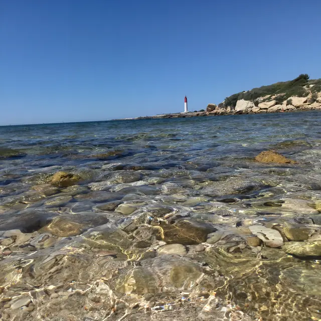
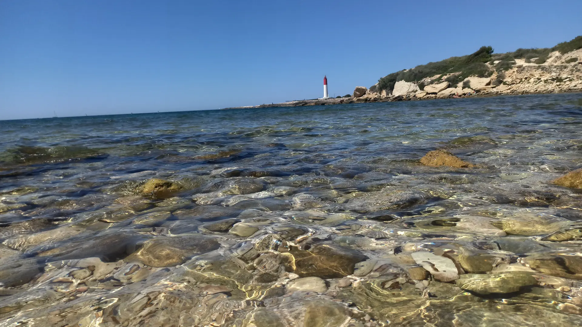
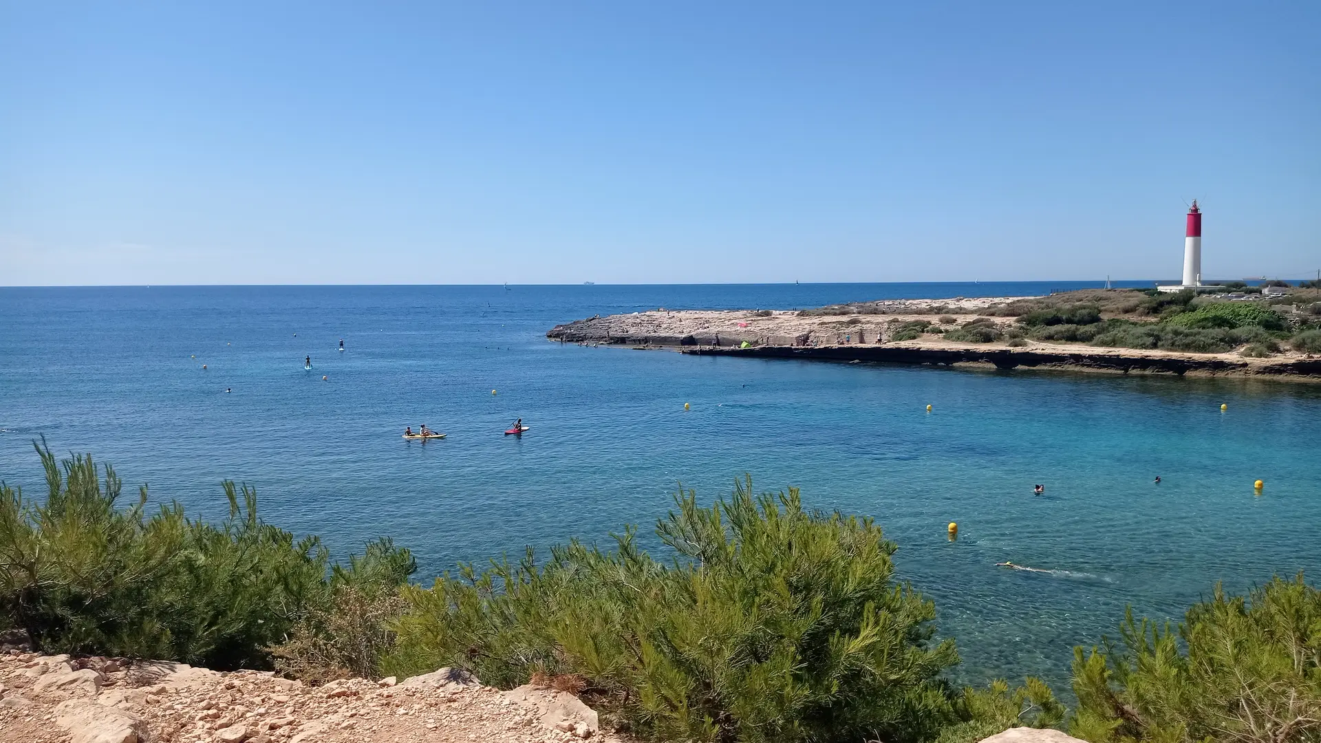
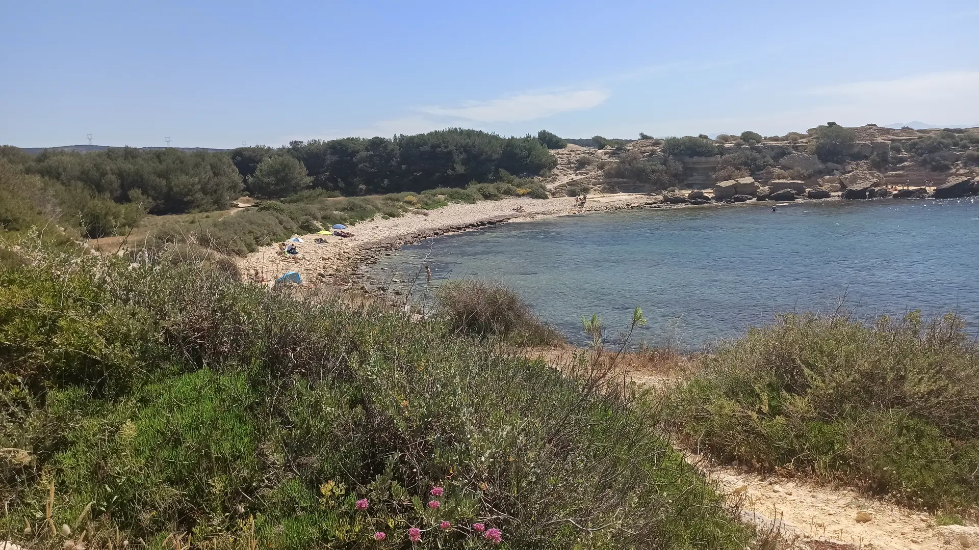
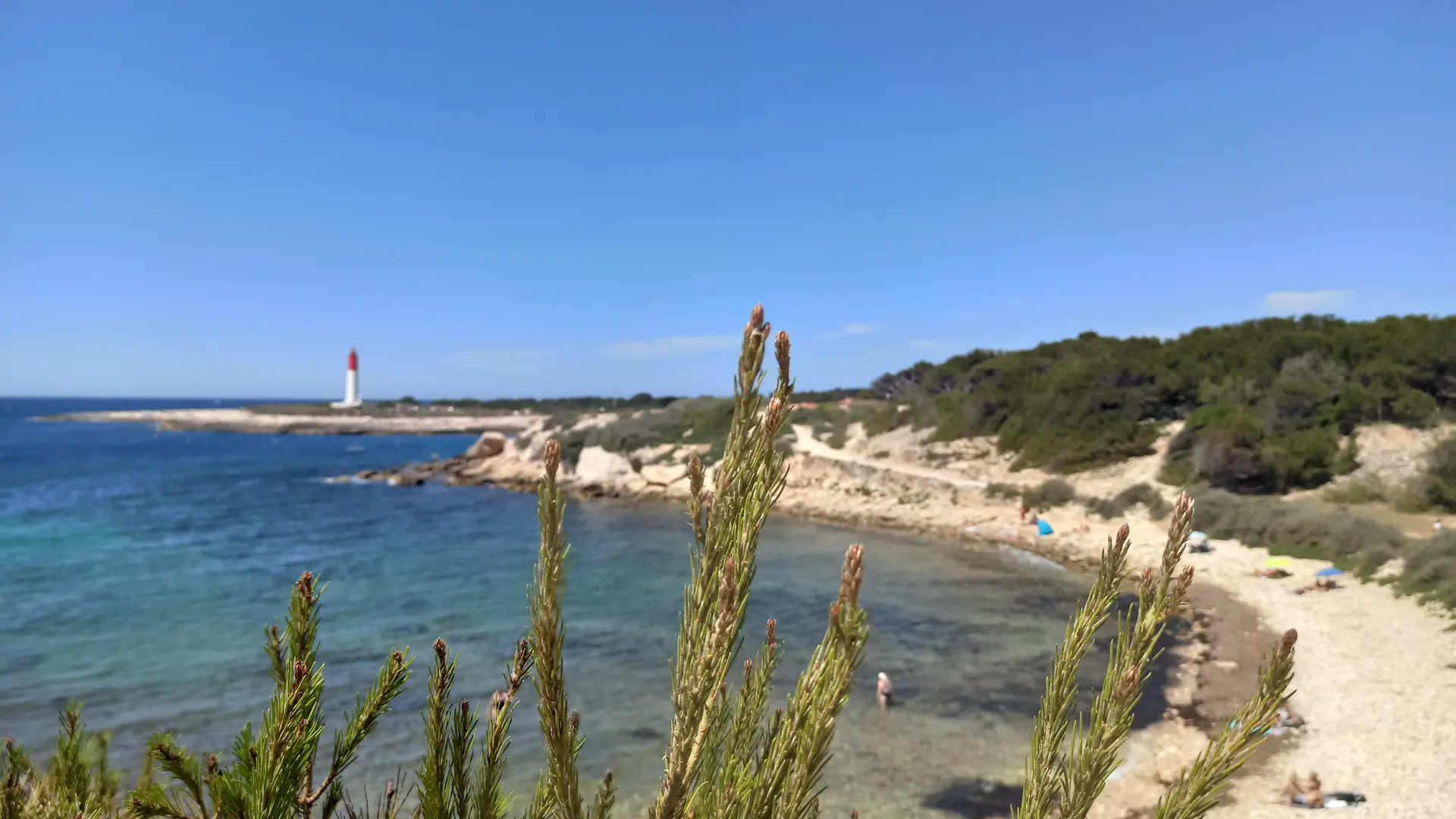
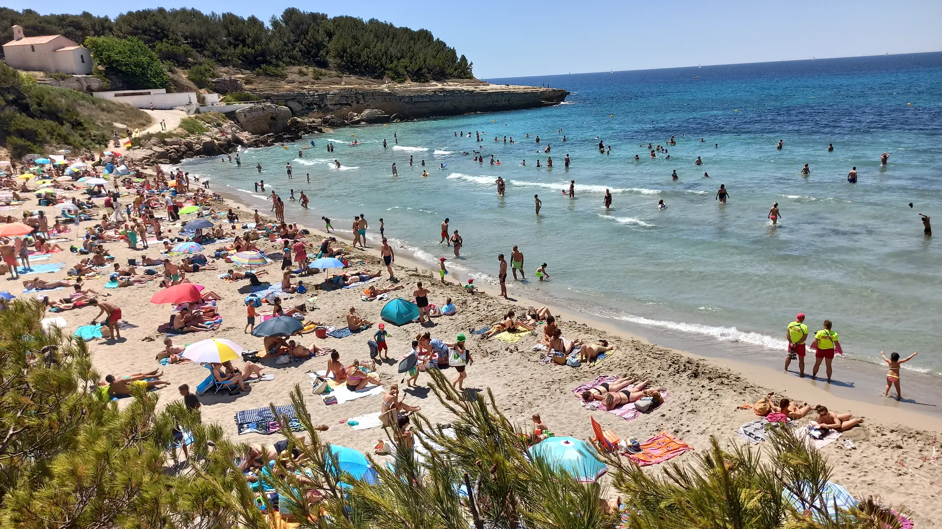
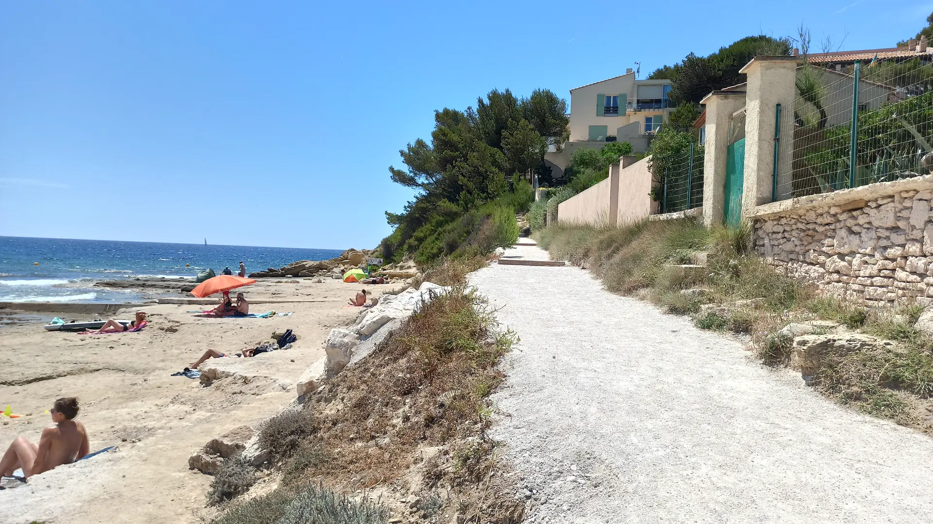
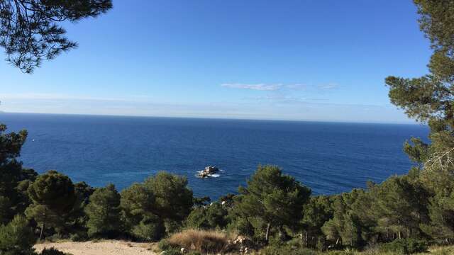
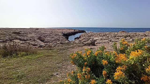
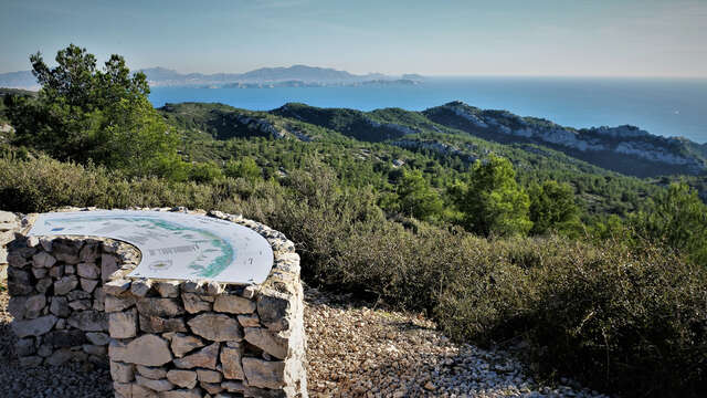
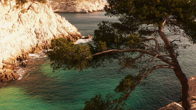
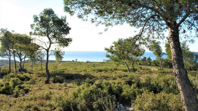
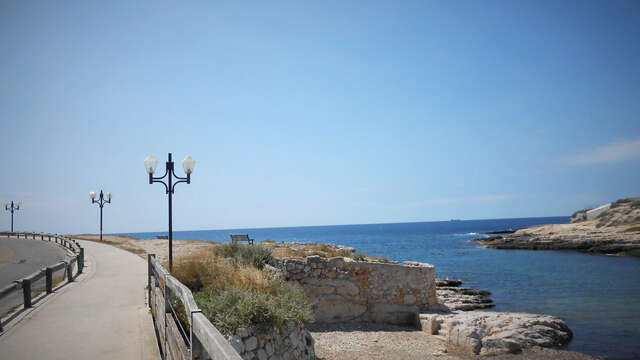
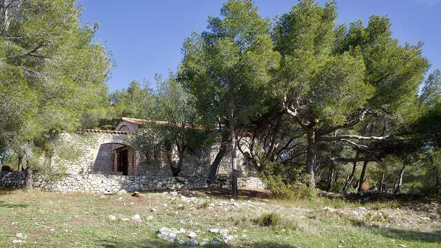
A hiking itinerary on the Côte Bleue, between the green of the pine forests and the blue of the sea. Comprising 17 loops, this route will keep you busy for 3 or 4 days! Accessible from all Côte Bleue train stations.
Accepted customers
Level black - very hard
All year round.
Côte Bleue : Carry-le-Rouet : Calanque et collines
This moderate hike (12km, 4h) takes in the hills behind the famous seaside resort of Carry-le-Rouet: the Estaque chain.
Carry-le-Rouet
Botanical loop of the plain of Carro
The Plaine de Carro botanical path is intended for original and educational walks to discover all the natural beauty of the Côte Bleue.
Martigues
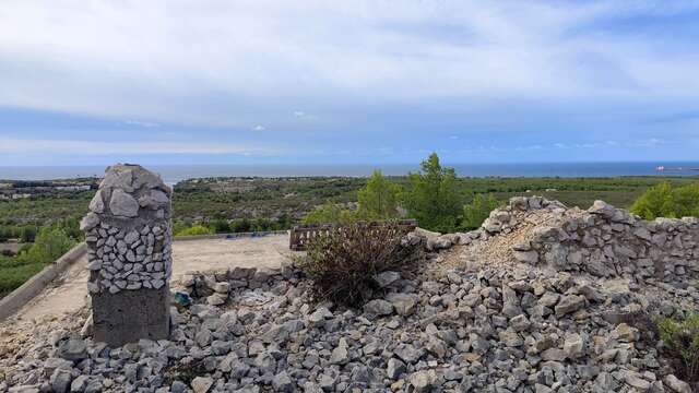
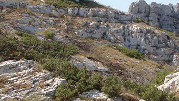
Crown Stone Quarry Loop
Surprising mineral case nestled in the heart of the Côte Bleue. This tourist loop invites you to discover a bend of a major front on the blue of the Mediterranean.
Martigues
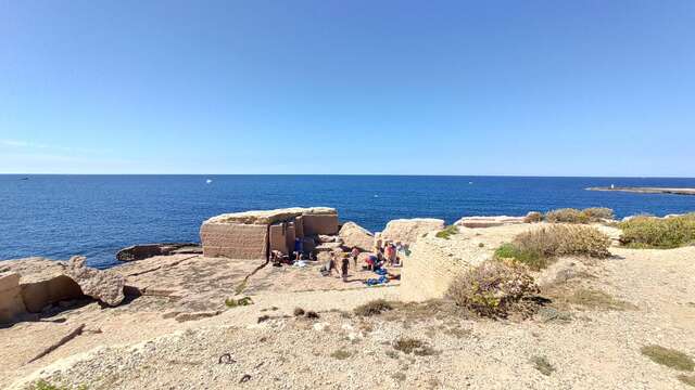
The Second World War military vestiges of La Couronne
During this hike, you will discover several bunkers with multiple uses, at the same time ammunition depot, observation post or location of artillery pieces and several casemates.
Martigues
The local Boumandariel circular route
This trail will allow you to discover the tremendous diversity of marine and terrestrial vegetation. You too will fall in love with this deluge of colors and scents.
Martigues
Les Bourgailles - table d'orientation des Caucarières
Bourgailles Caucarières hike, 4km, on the paths of the Côte Bleue.
Ensuès-la-Redonne
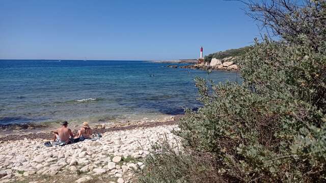
Calanque des Eaux salées
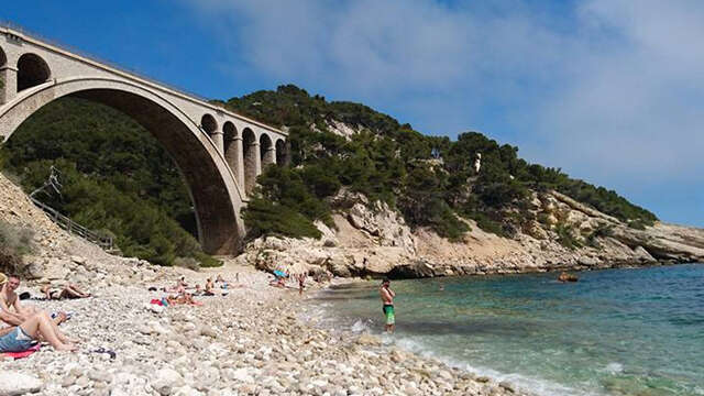
Easy 1h30 hike over the Côte Bleue massif, then down to the calanque des eaux salées, passing under the viaduct.
Carry-le-Rouet
Grande boucle du Cap Couronne
Over a distance of 24 km 500, the Cap Couronne loop located in the southern part of the town of Martigues, will make you discover an exceptional natural and historical heritage.
Martigues
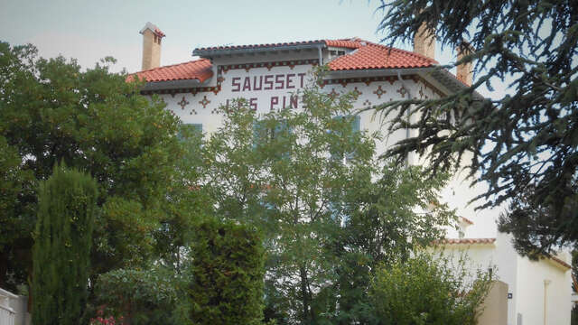
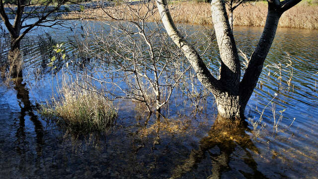
Grand Vallat Littoral
A seaside hike along the reed bed path, where you'll discover the remains of the former water supply to Château Charles-Roux. Discover the château's former park, the dam and...
Sausset-les-Pins
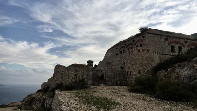
Le Fort de Niolon
Local loop of the Côte Bleue, 6km from Niolon, with a panorama of the Frioul and the Rade de Marseille.
Le Rove
Le Tour du Romaron
This 8km circuit starts from the Tourist Office and takes you through the hills of Carry-le-Rouet.
Carry-le-Rouet
Le Vallon de Jaume par les grottes
This 10km circuit starting from the Tourist Office allows you to discover the hills behind Carry-le-Rouet.
Carry-le-Rouet
Mer et Colline - Valestoué
Hike along the seafront, then through the reed beds and botanical path, climbing through the garrigue and along the pine forests to the top of the hill.
Sausset-les-Pins
Mer et Pinède Valapoux
A course on the corniche, popular with surfers, with superb views out to sea and the islands of Marseille.
Sausset-les-Pins
Notre Dame du Rouet par la Plaine
Local loop of 12.4km in the Côte Bleue massif. An exceptional panorama over Carry-le-Rouet and its viaduct.
Carry-le-Rouet
Sentier botanique La Roselière
A one-hour walk along the reed bed, home to many species of birds.
Sausset-les-Pins
Randonnée à la découverte de Niolon : son fort et sa calanque
Discovering Niolon, its fort and the nearby calanque of La Vesse is an easy hike, starting from a point accessible by train, thanks to the TER line linking Marseille to Miramas...
Le Rove
Close
Popular searches
{% label %}
Filter search
Filter search
Visitors
Professionals
Groups
Convention
Press
Marseille Experience
Page types
All
Articles
Agenda
Lists
Activities
Aucun résultat
/
English
Français
Español
Italiano
Deutsch
中文
日本語
한국어
Close
×