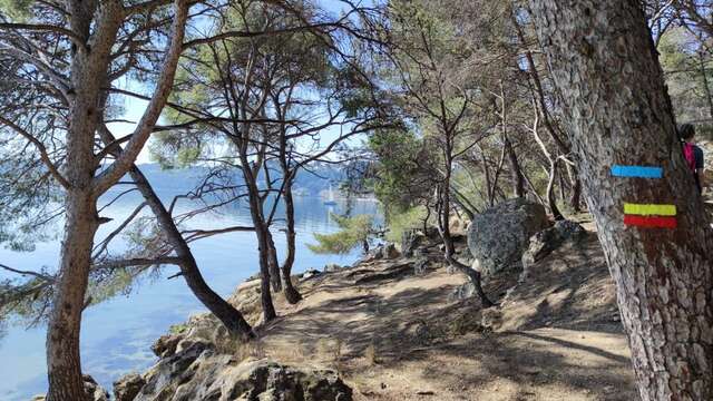
A 365 km long Grande Randonnée de Pays route in the Bouches-du-Rhône region. Specially created for MP2013, the European Capital of Culture, the GR2013 crosses 39 communes from Aubagne to Miramas, via Marseille and Aix.
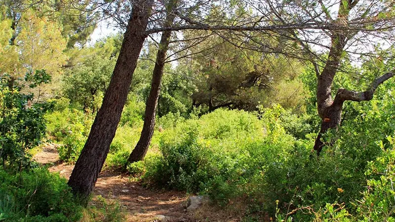
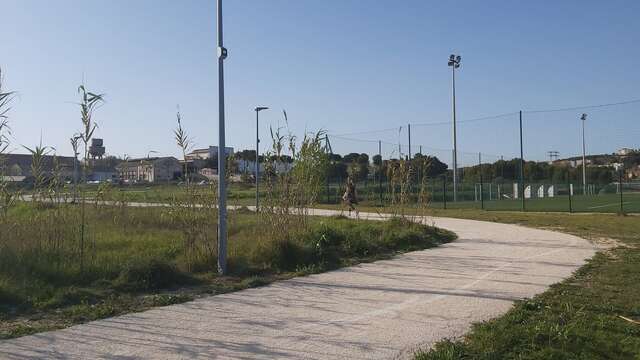
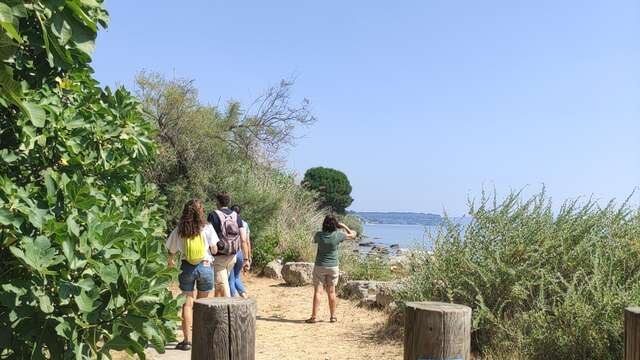
A metropolitan hiking trail through countryside and housing estates, cabanons and garrigue, nature reserves and freeways, agachons and bourdigues, bastides and industrial zones, oppidums and business parks. 365 kilometers forming the symbol of infinity: 1 loop around the Etang de Berre linking 1 other loop around the Massif de l'Etoile and the Garlaban. It's a 365 km metropolitan trail that reveals the Marseille Provence area in a whole new light. This tourist, cultural and artistic project offers a new hiking experience. From the lowest point in the Bouches-du-Rhône department (0 meters on the beaches), to the highest point (877m at Pic de Bertagne).
Recommended starting point: Aix-en-Provence TGV station, the central point linking the 2 loops (or one of the 24 stations along the route).
Allow 20 days for the Etang de Berre loop, and 10 days for the Massif de l'Etoile loop.