See photos (3)

GR2013 - A08 - From Port-de-Bouc to La Mérindole

Sport, Pedestrian sports, Hiking itinerary in Istres
3.1 km
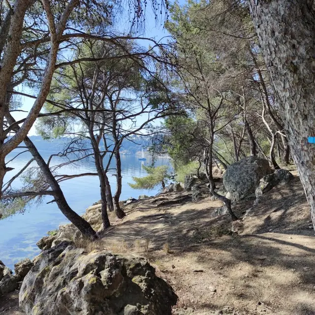
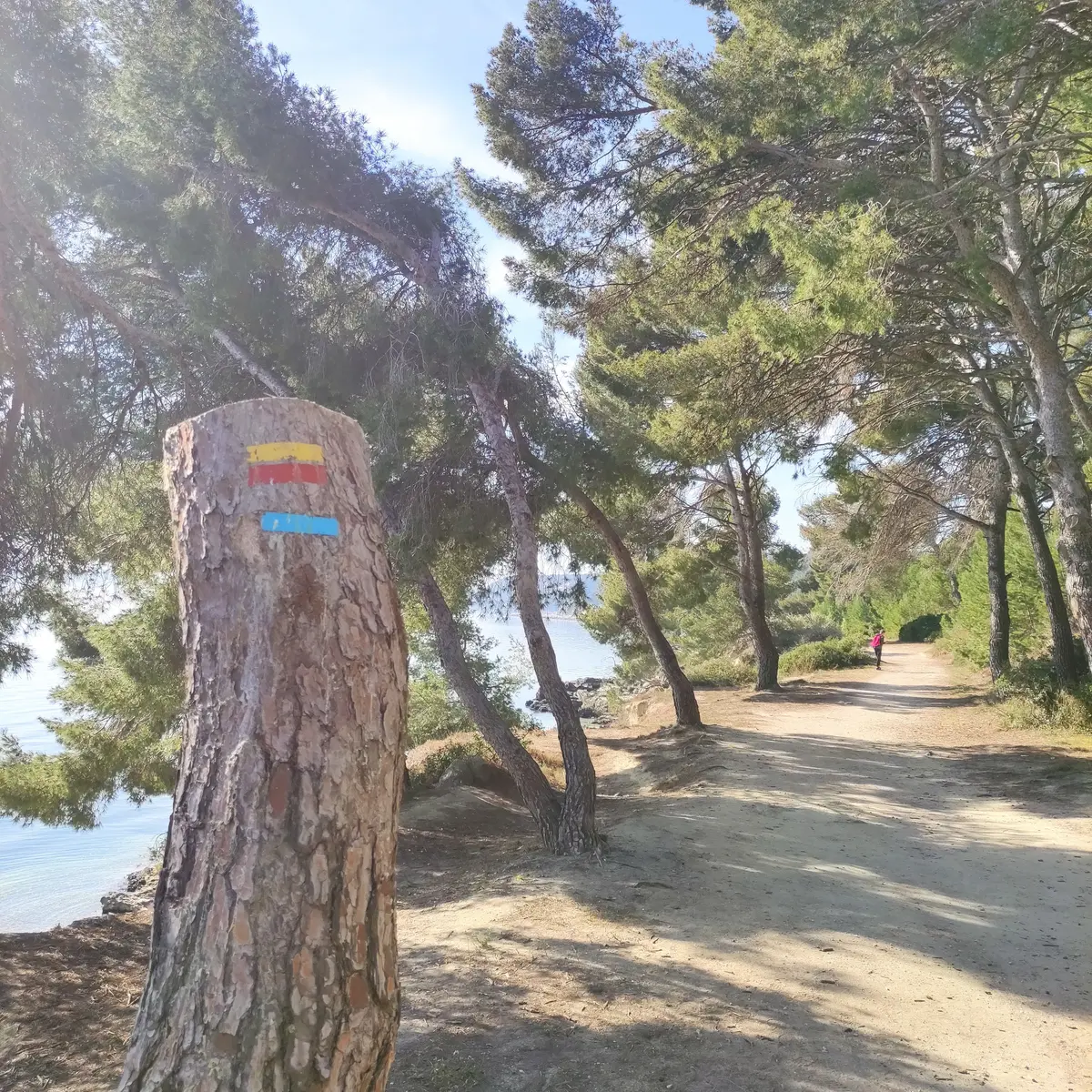
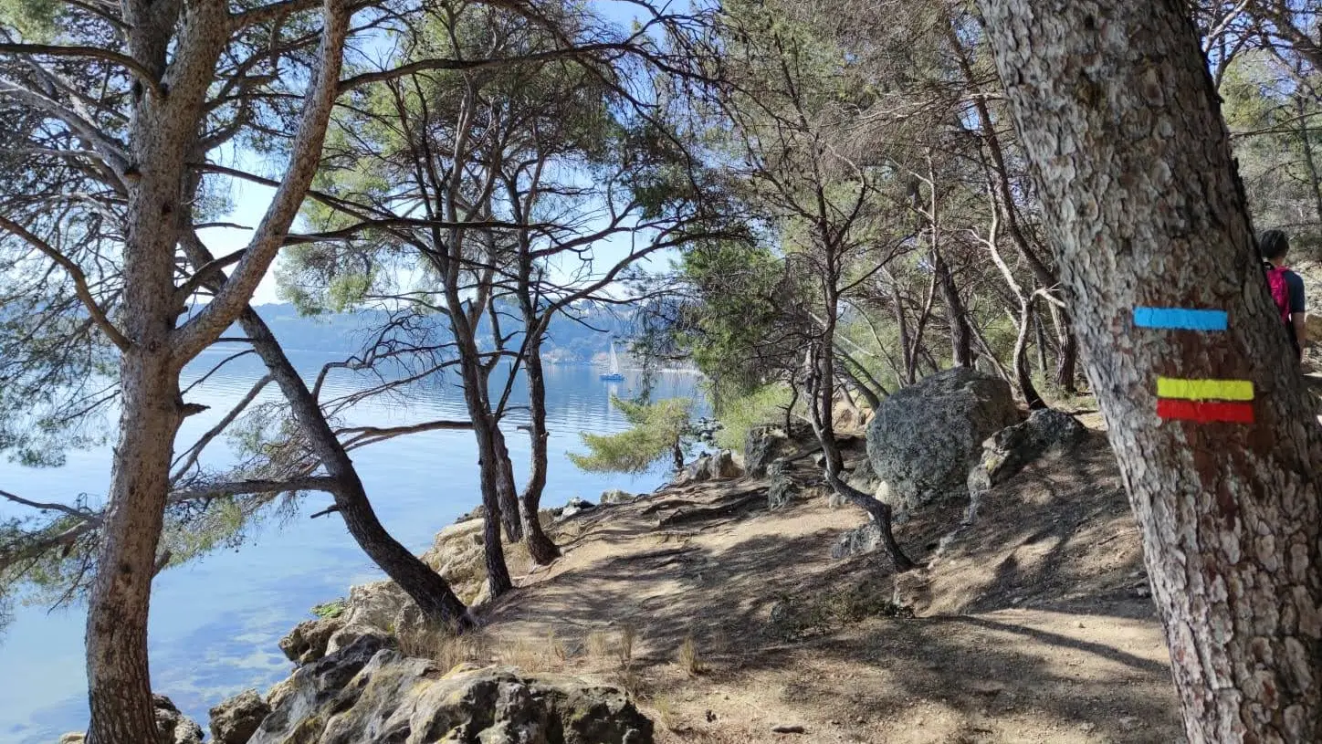
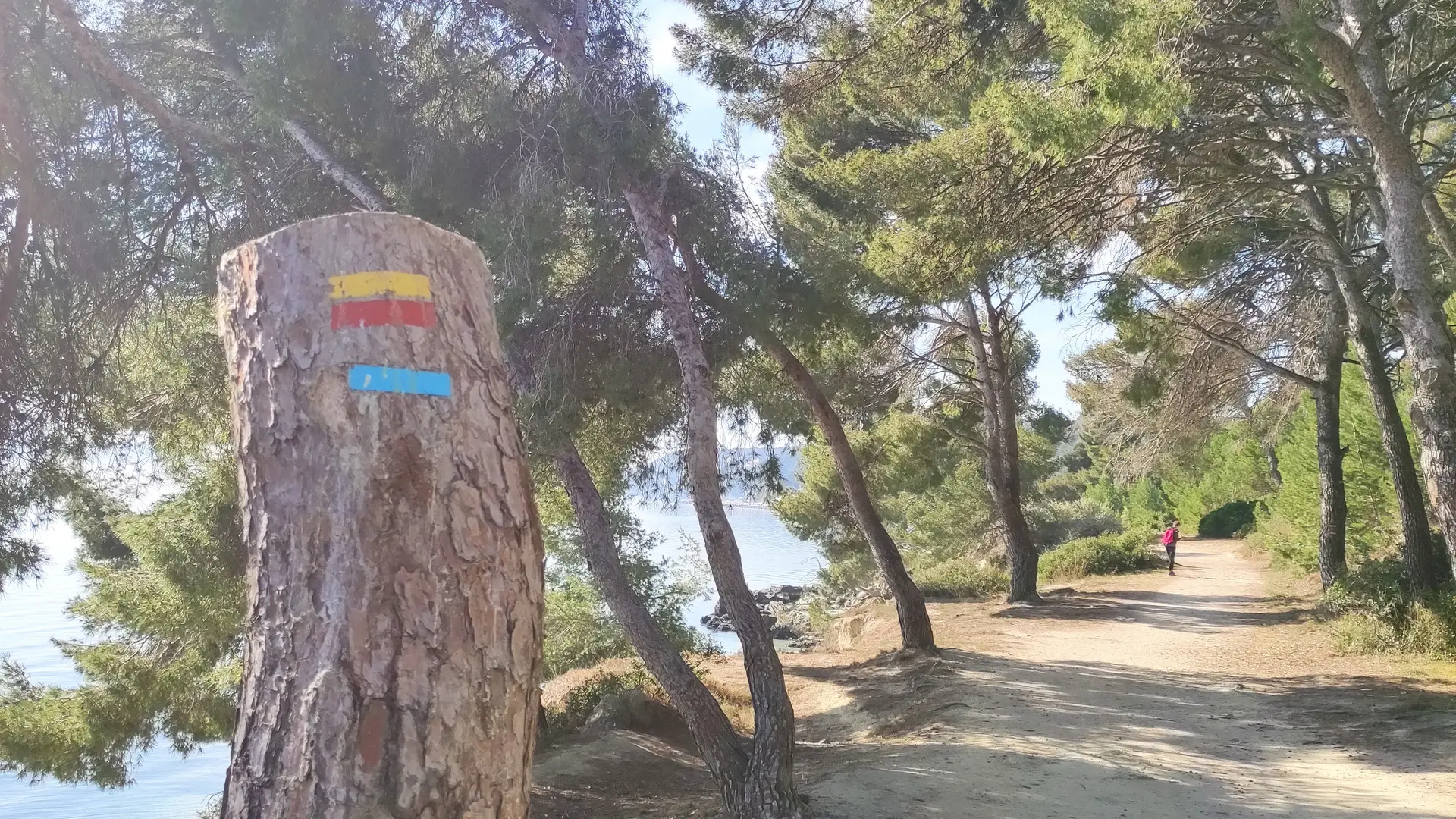
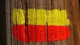
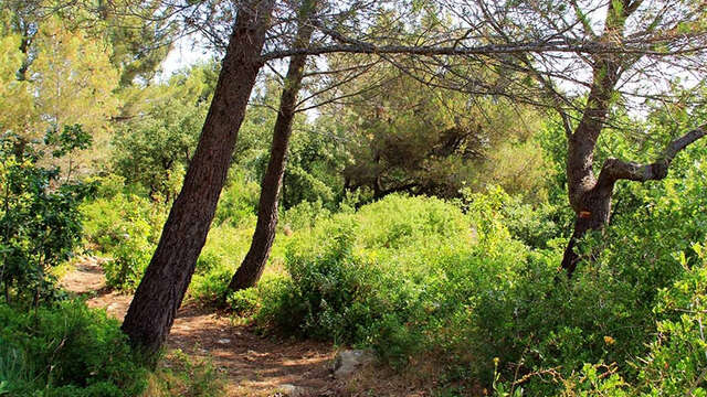
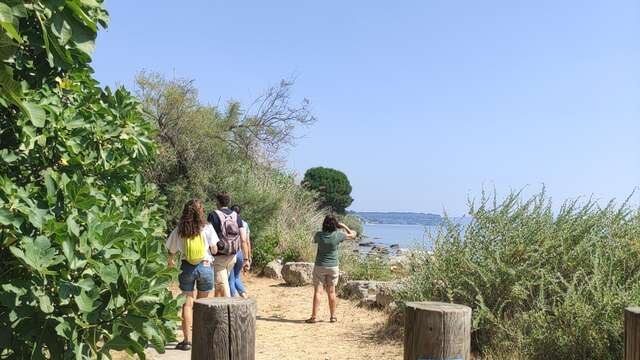
  • Section A10 of the GR2013. From Ranquet beach south of Istres to Port des Heures Claires (Istres). A 3.2km route to discover the coastal path along the Etang de Berre, with its beaches and creeks.

  • This route runs along the sea of Leo by the coastal path to then reach Istres and discover the pond of the Olivier. Beaches, coves, cafes, restaurants and small ports will scroll over the trail.
  • Departure
    Istres
  • Difference in height
    31 m
  • Plain text period
    All year round.
  • Environment
    • Coastal
  • Documentation
    GPX / KML files allow you to export the trail of your hike to your GPS (or other navigation tool)
31 meters of difference in height
  • Maximum altitude : 28 m
  • Total positive elevation : 31 m
  • Total negative elevation : -49 m
  • Max positive elevation : 21 m
  • Min positive elevation : -21 m
Services
  • Equipment
    • Picnic area
    • Parking nearby
Close