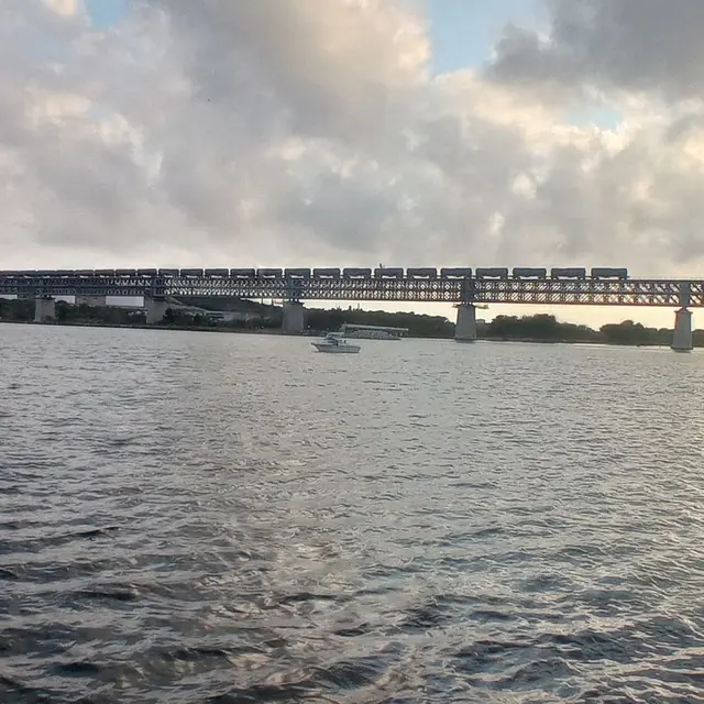
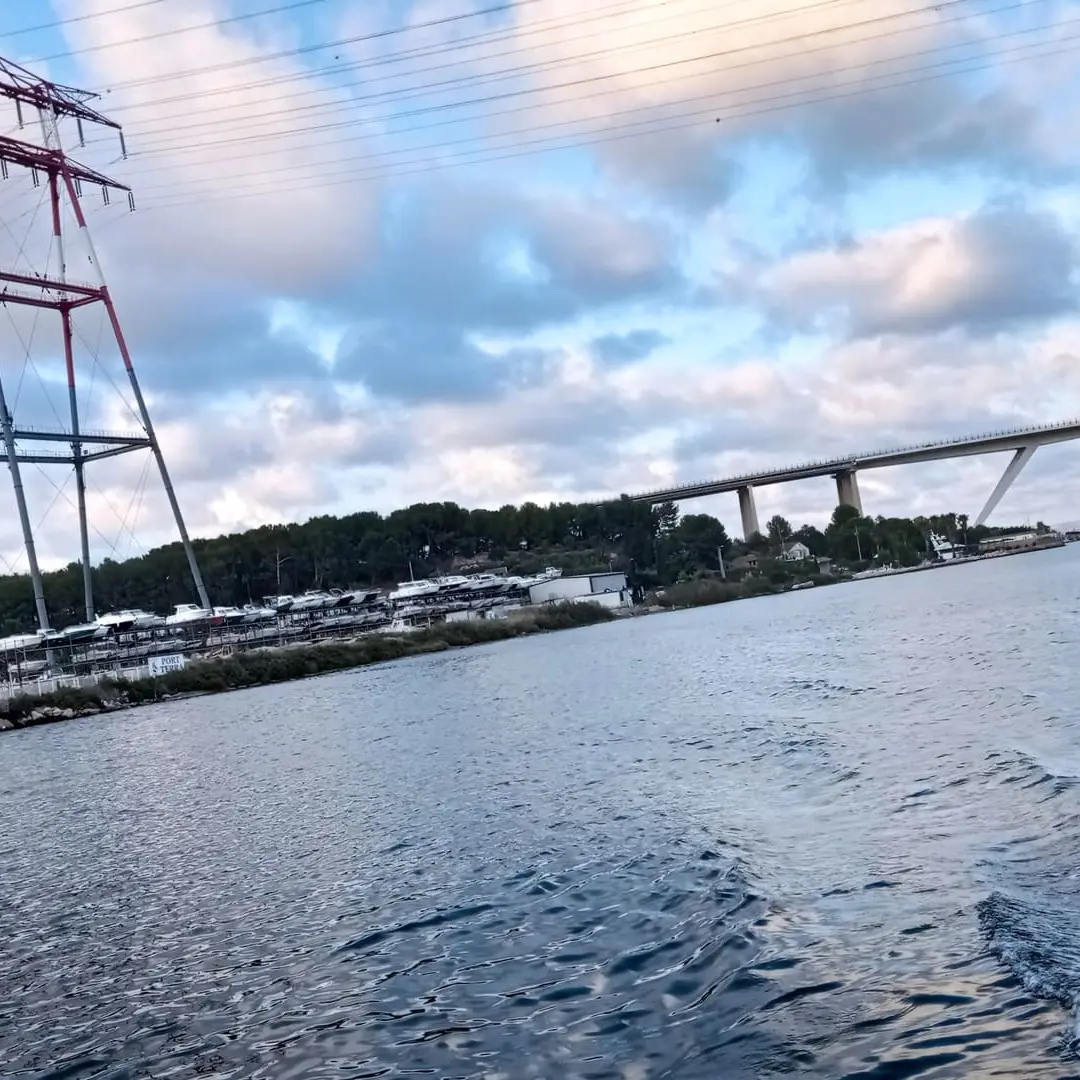
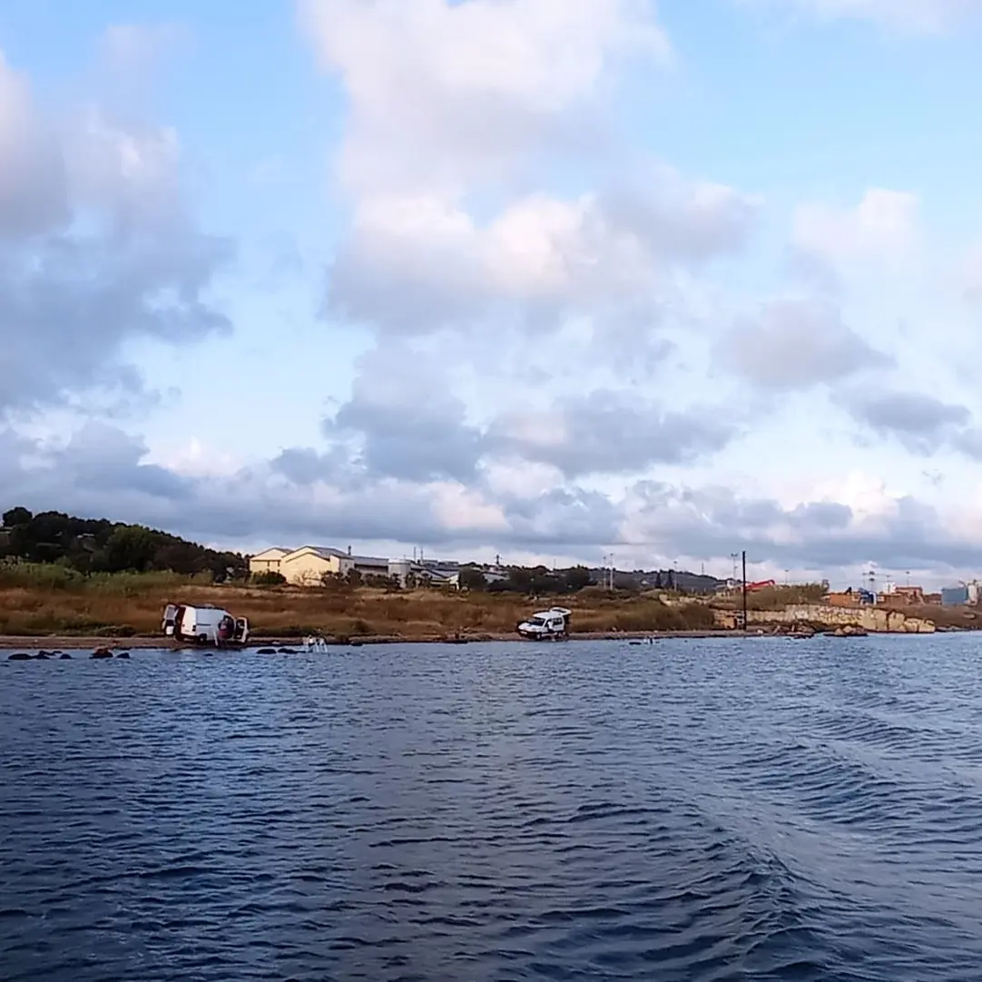
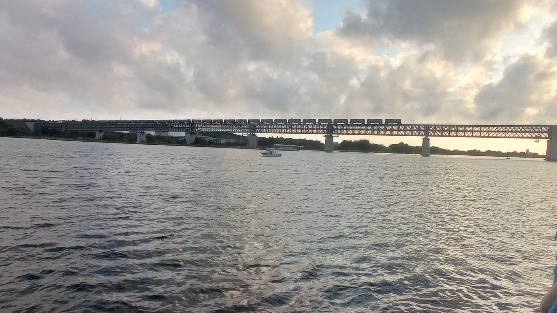
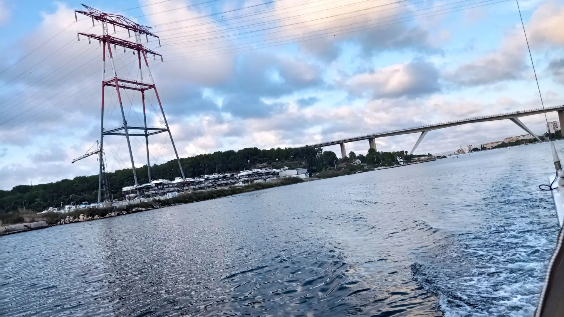
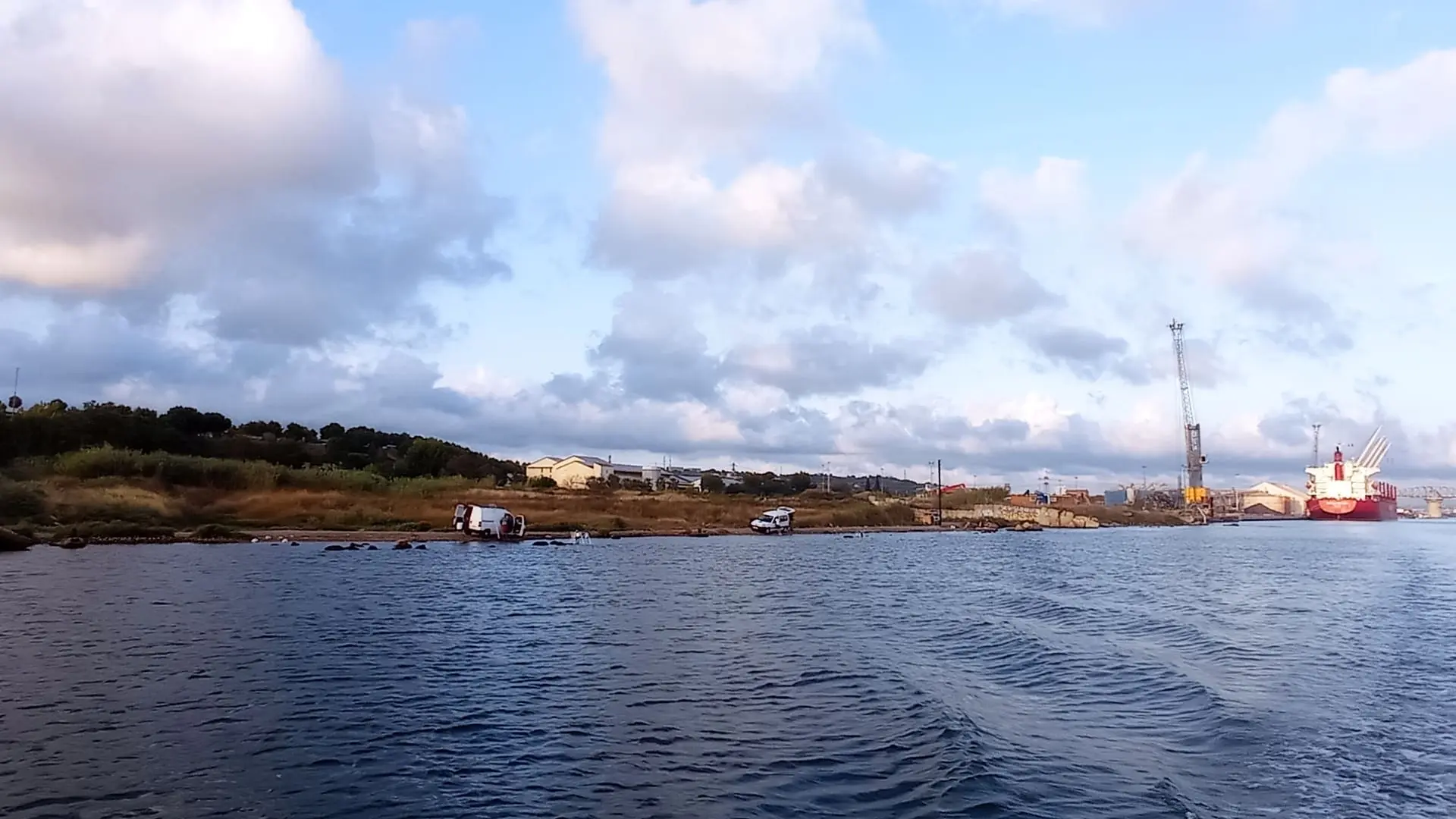
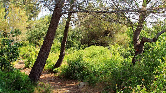
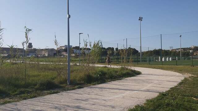
Section A07 of the GR2013. From Gare de Croix Sainte (Martigues) to Port de Bouc. A 3.7km route to discover a natural and industrial landscape.
The border between the two districts, Martigues and Port de Bouc is marked by the Rivière de la Gafette which is the official border between the two cities. Note: the expansive industrial wasteland of the former Azur Chimie factory, a bromine treatment site, which closed in 2010.