See photos (3)

GR2013 - A06 - From Martigues to Croix Sainte Station

Sport, Pedestrian sports, Hiking itinerary in Martigues
7.4 km
1h 30min
Very easy
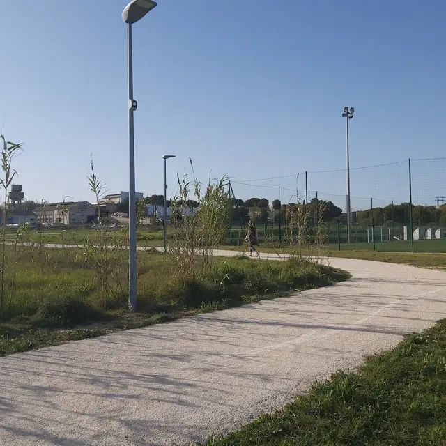
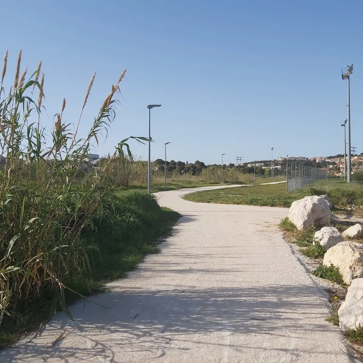
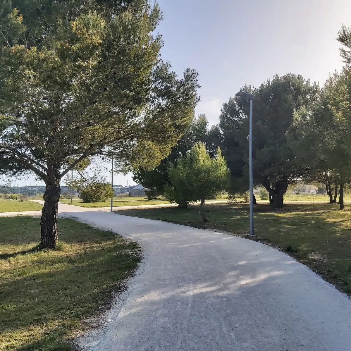
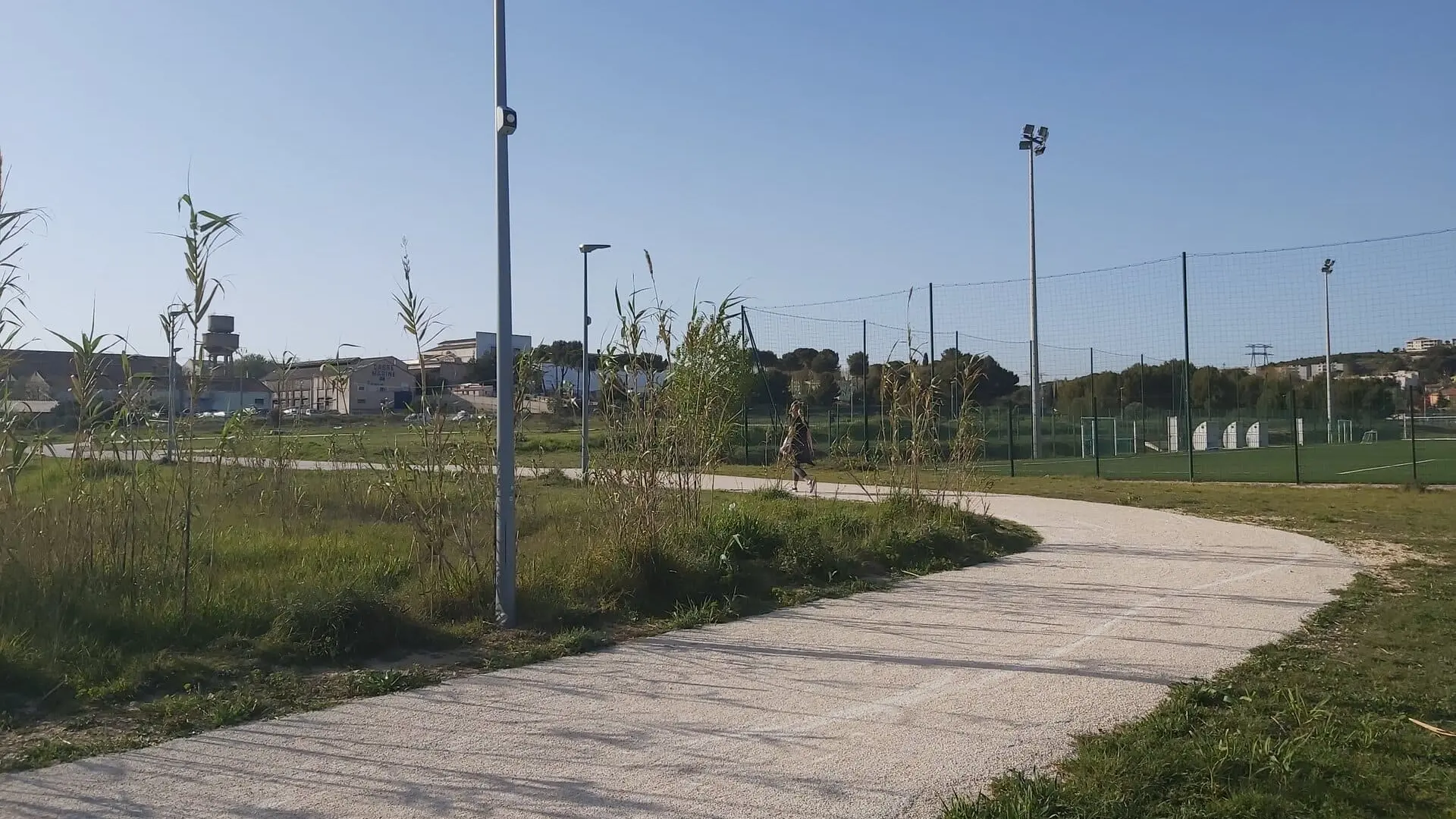
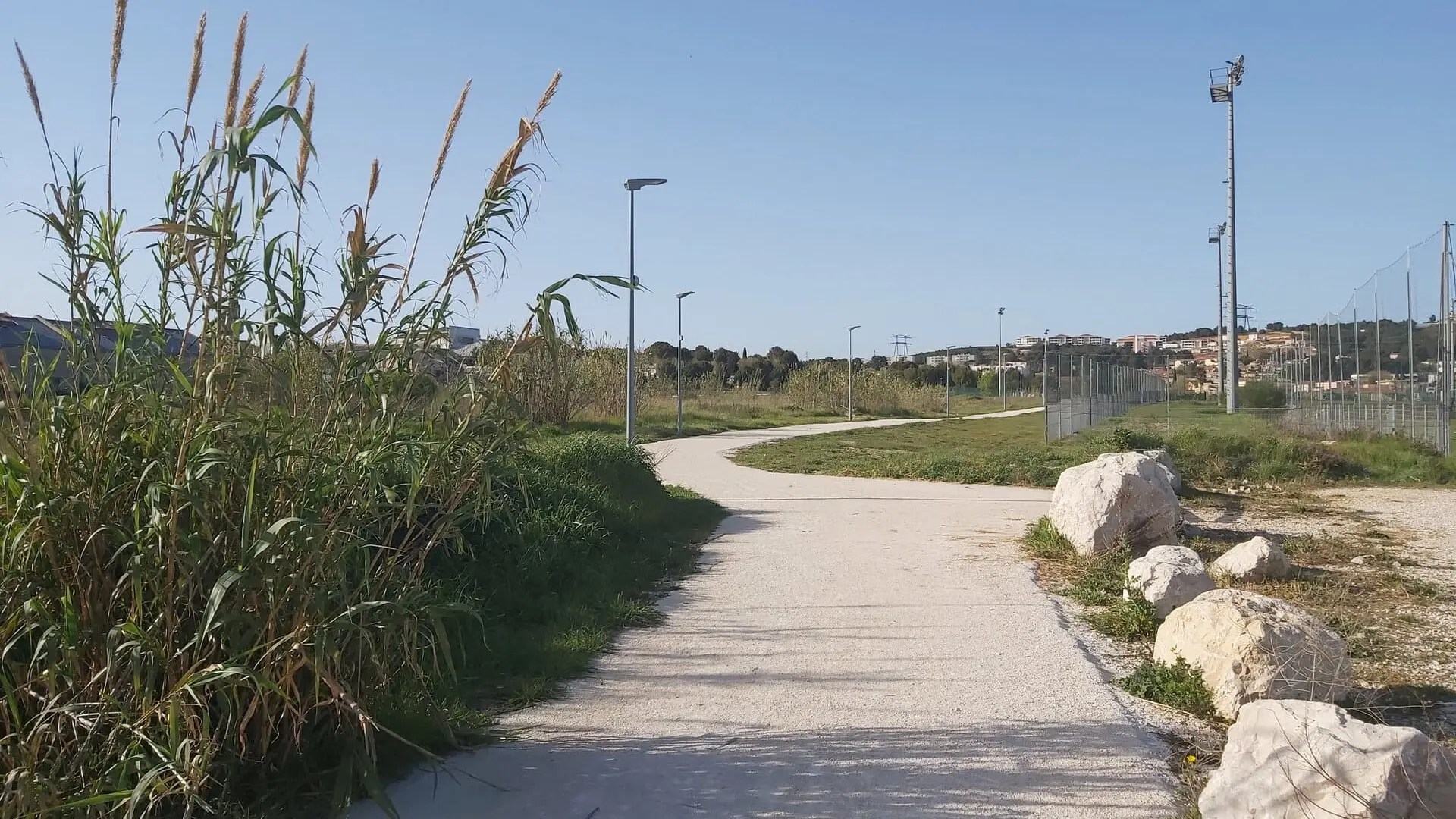
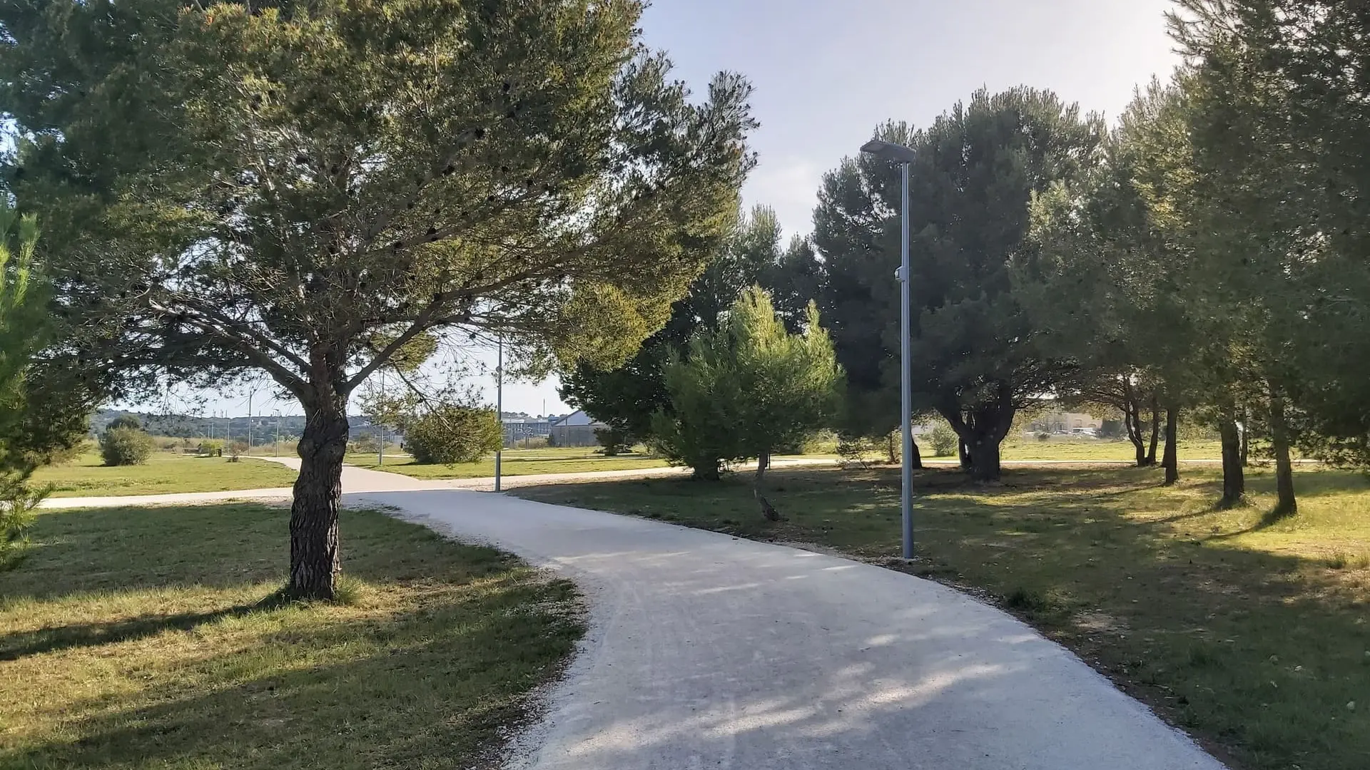
  • Section A06 of the GR2013. From Martigues to Croix Sainte station (Martigues). A 7.1km route to discover the industrial landscape of Martigues.

  • You will then move away from the city by a ridge line which will offer you a view of Martigues. As you go, an industrial landscape will take shape around you.
  • Departure
    Martigues
  • Difference in height
    133 m
  • Martigues: Departure from Place des Aires bus stop
    (Cartreize line 34 coming from Marseille and line 25 coming from Salon-de-Provence and Aix-en-Provence).
    Martigues: Arrival at Croix Sainte station.
    (TER towards Marseille)
  • Plain text period
    All year round.
  • Environment
    • Town location
  • Documentation
    GPX / KML files allow you to export the trail of your hike to your GPS (or other navigation tool)
133 meters of difference in height
  • Maximum altitude : 105 m
  • Total positive elevation : 133 m
  • Total negative elevation : -123 m
  • Max positive elevation : 72 m
  • Min positive elevation : -63 m
Services
  • Equipment
    • Car park
    • Free car park
    • Defibrillator
Close