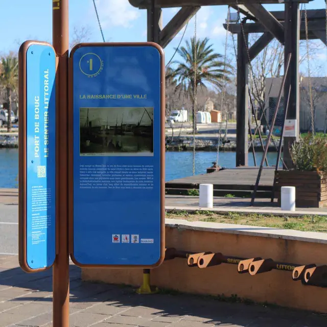
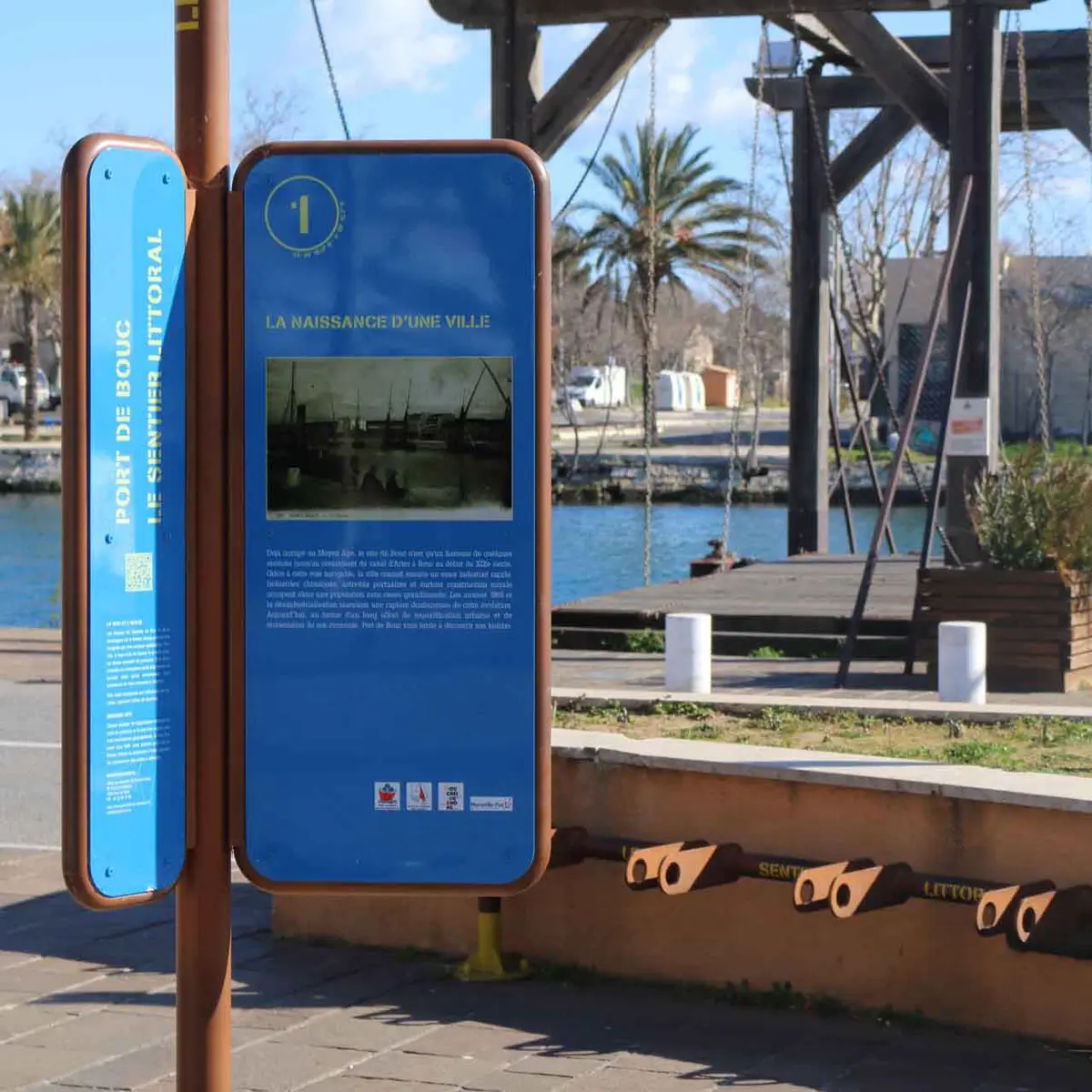
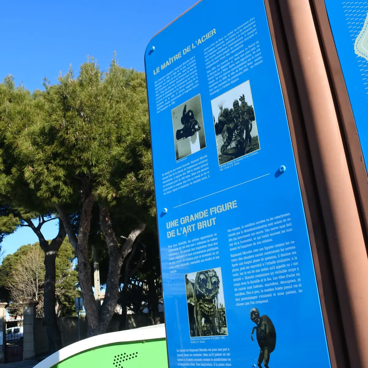
Between the sea and the lake, take a tour of Port-de-Bouc, passing through the ports and the coastline. Explanatory panels trace the history of the town.
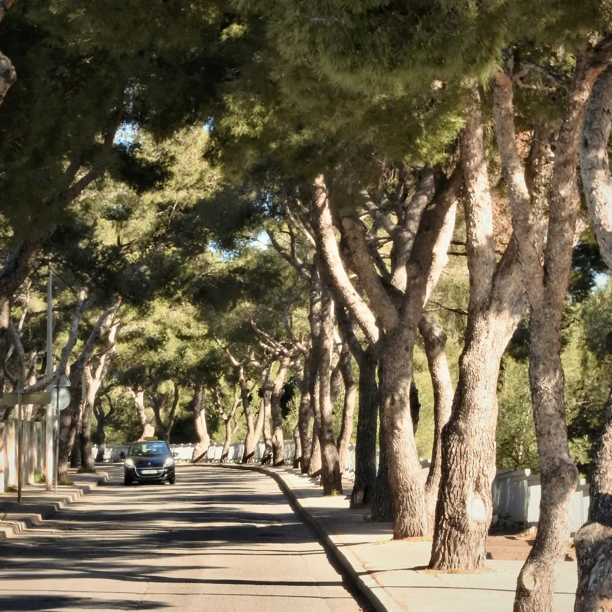
In this city where all roads lead to the sea, the creation of the coastal path is both a development and an environmental protection project. With its variety of beaches, harbours, natural, historical and archaeological heritage, the path is a place of discovery, relaxation and recreation, combining urban spaces with the sea.
A path accessible to all which expresses the entire history of Port de Bouc, where men and women have come from all over the world to tame the energies of the sea.
A coastal path to be walked with family, friends or alone.