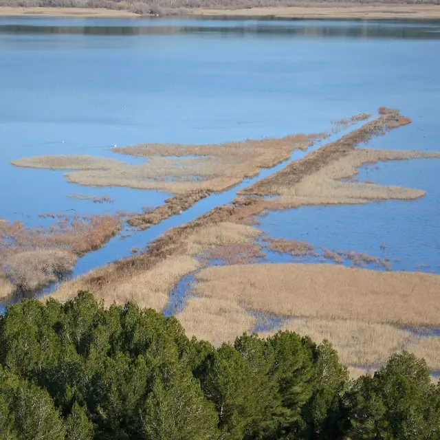
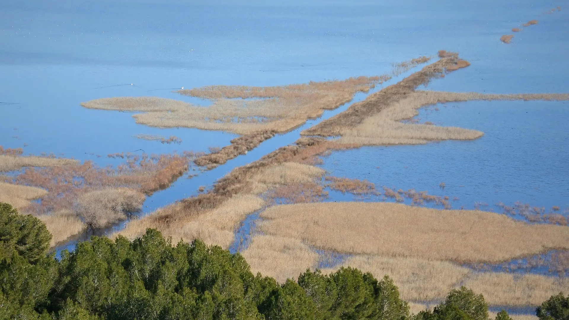
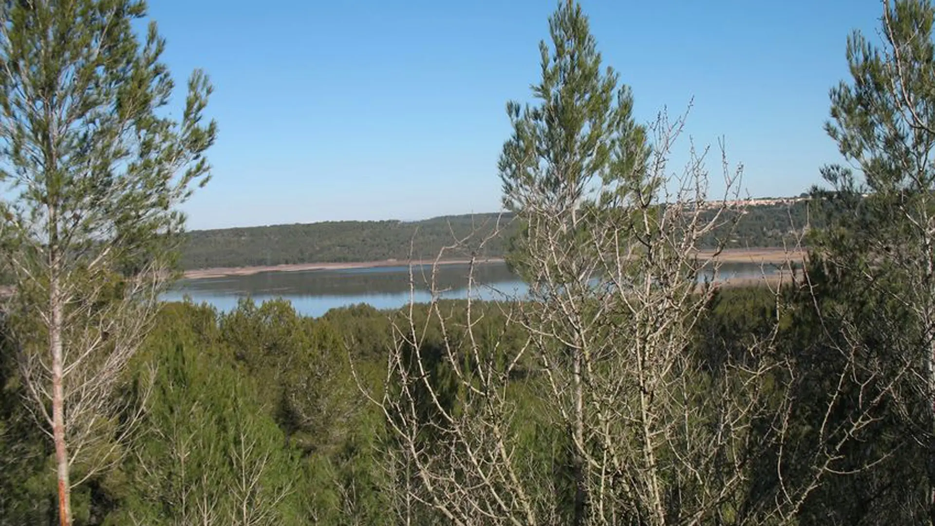
This walk offers beautiful views over the ponds. The path first crosses young Aleppo pines, the result of natural regeneration following the fire of summer 2000.
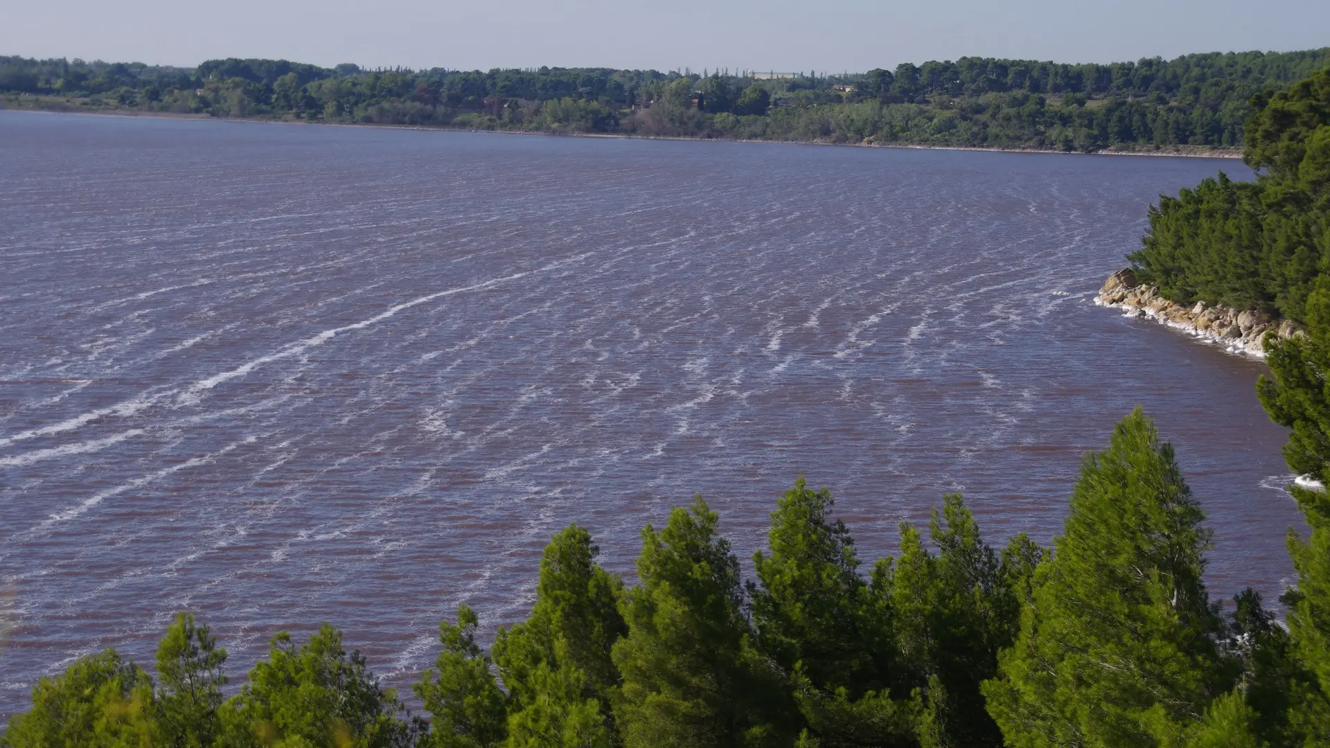
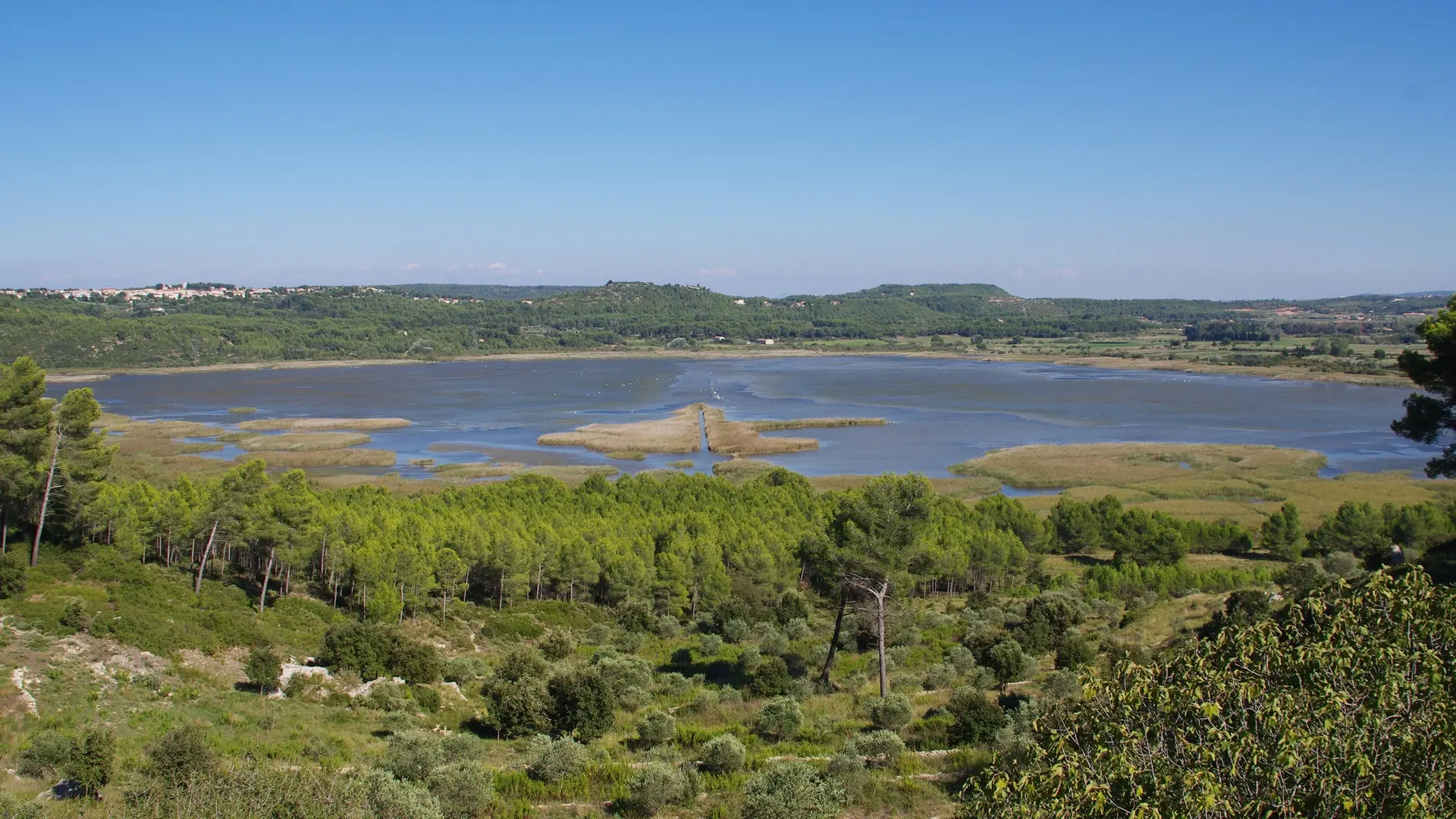
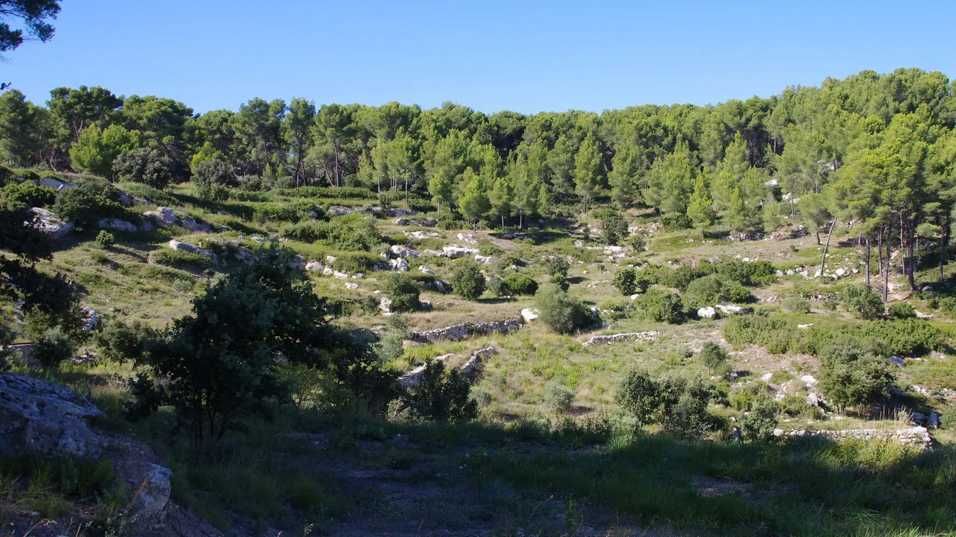
This delightful tour of Etang de Berre lake, stretching along and above the beaches, offers magnificent panoramic views over this vast stretch of water, Chaîne de la Nerthe mountain range, Sainte-Victoire mountain and the surrounding towns. Man has inhabited the banks of Etang de Berre from time immemorial. On your way, you will come across the little town of Saint-Mitre-les-Remparts, whose 15th- century ramparts pierced with two gates still stand witness to the site's former thriving human activities. A maze of little lanes winds up to the church, offering splendid views over Etang du Pourra lake. Situated not far from the centre, the archaeological site of Saint-Blaise, inhabited from 7 BC onwards, is well worth a visit at the end of this delicious walk, bathed in shady hills, forgotten landscapes and an immensely peaceful atmosphere…