The intercommunal ball (in 3 parts / 3 days) of the trail "Between sea and ponds" allows you to discover the Pays de Martigues. Exceptional sunshine, preserved natural spaces, ponds, sea, a territory of culture and sport, tourism, the Martigues region is also and above all, embodied by its inhabitants and shaped by an incomparable industrial history.
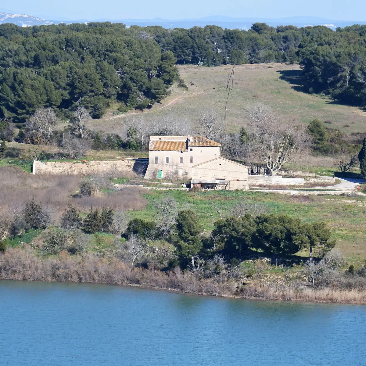
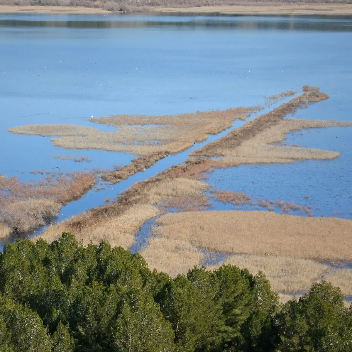
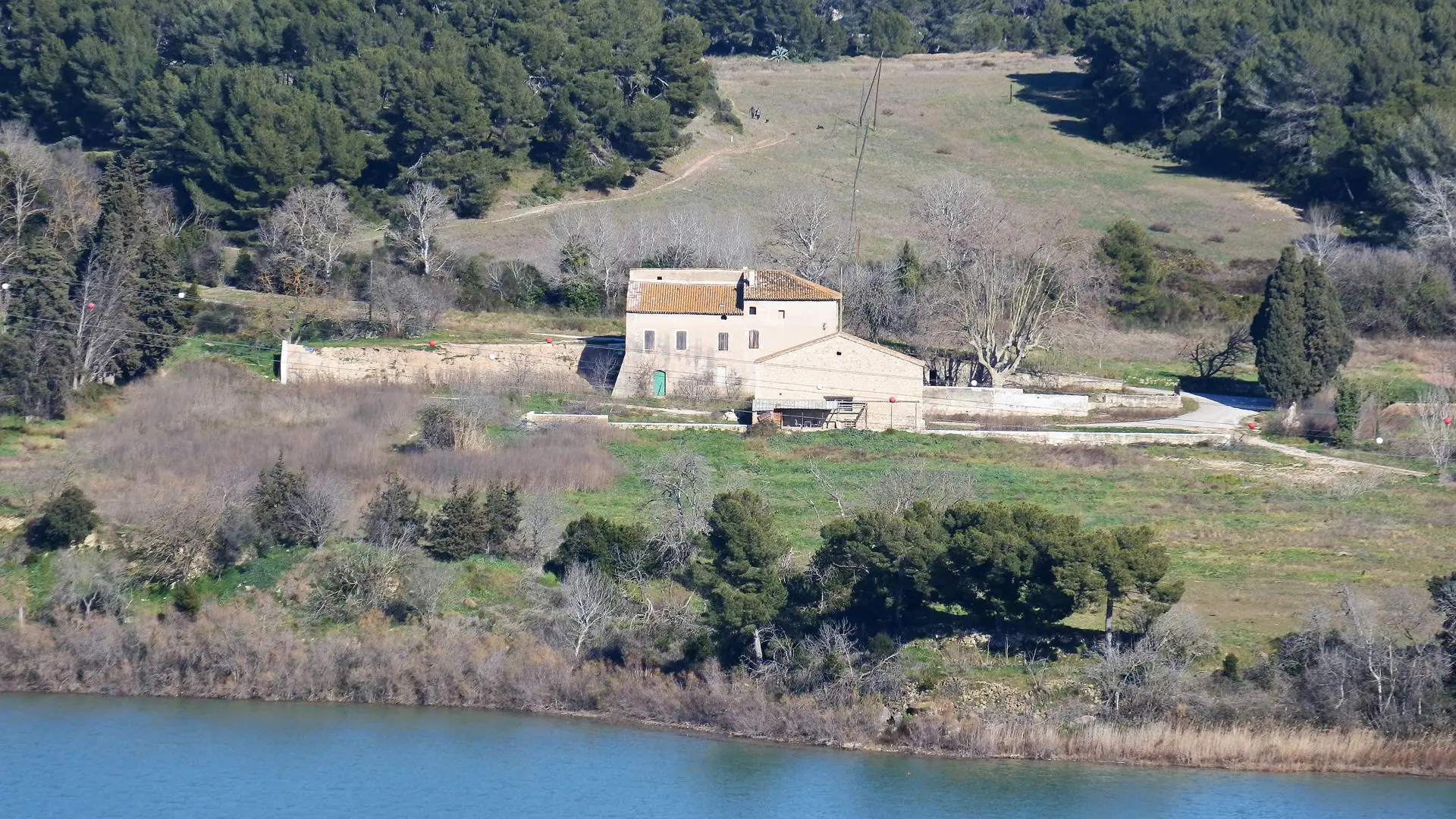
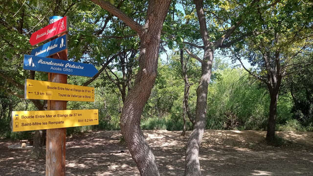
Part 1 (day 1): This route takes you to discover Port-de-Bouc, whose history is turned towards the sea, by the coastal path, to catch a glimpse of the industrial landscape of the Gulf of Fos, and finally, just a stone's throw from the Mediterranean shores, to leave the blue of the sea to join the green of the hills. Enter the heart of the Castillon state forest, a green setting at the gates of the city. A real lung of oxygen, it is a natural wooded area of 288 hectares, which shelters a Mediterranean fauna and flora rich in life. The 4 salt ponds that surround it give it the name of "massif des Etangs". It shelters several vestiges of the past, the oldest of which is the archaeological site of Saint Blaise. Finally, there is a coastal lagoon along the banks of the second largest salt pond in Europe, the "mer de Berre".