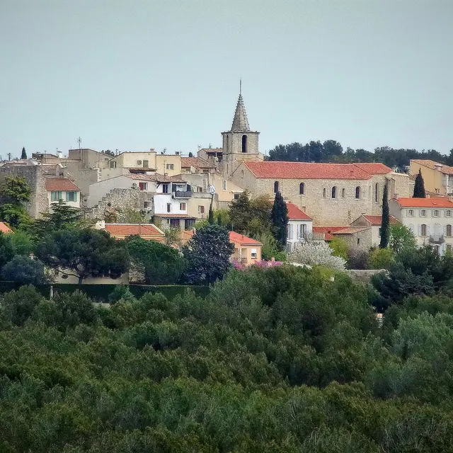
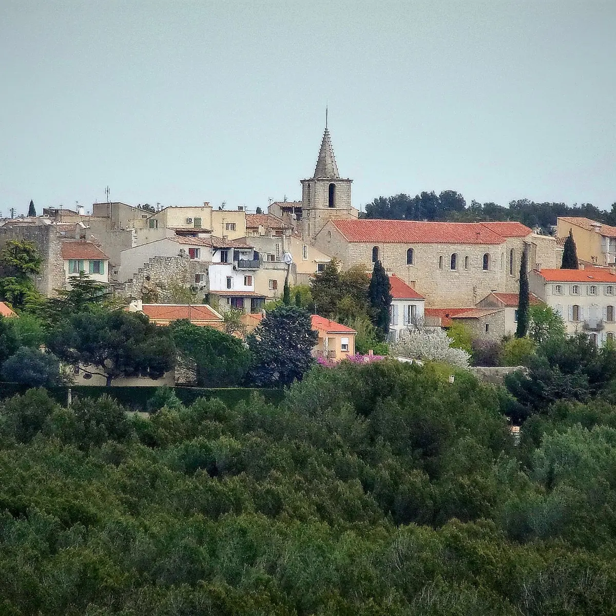
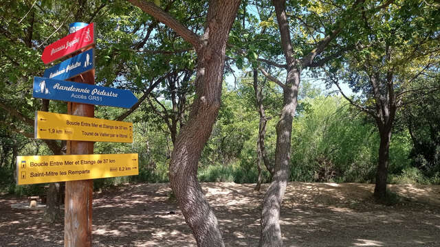
Hiking trail, quiet, between the sea and ponds in Saint Mitre les Remparts, over 7km, fairly easy.
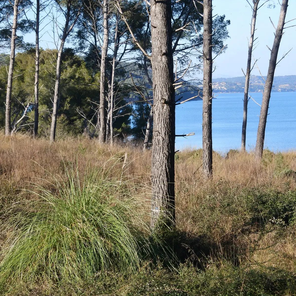
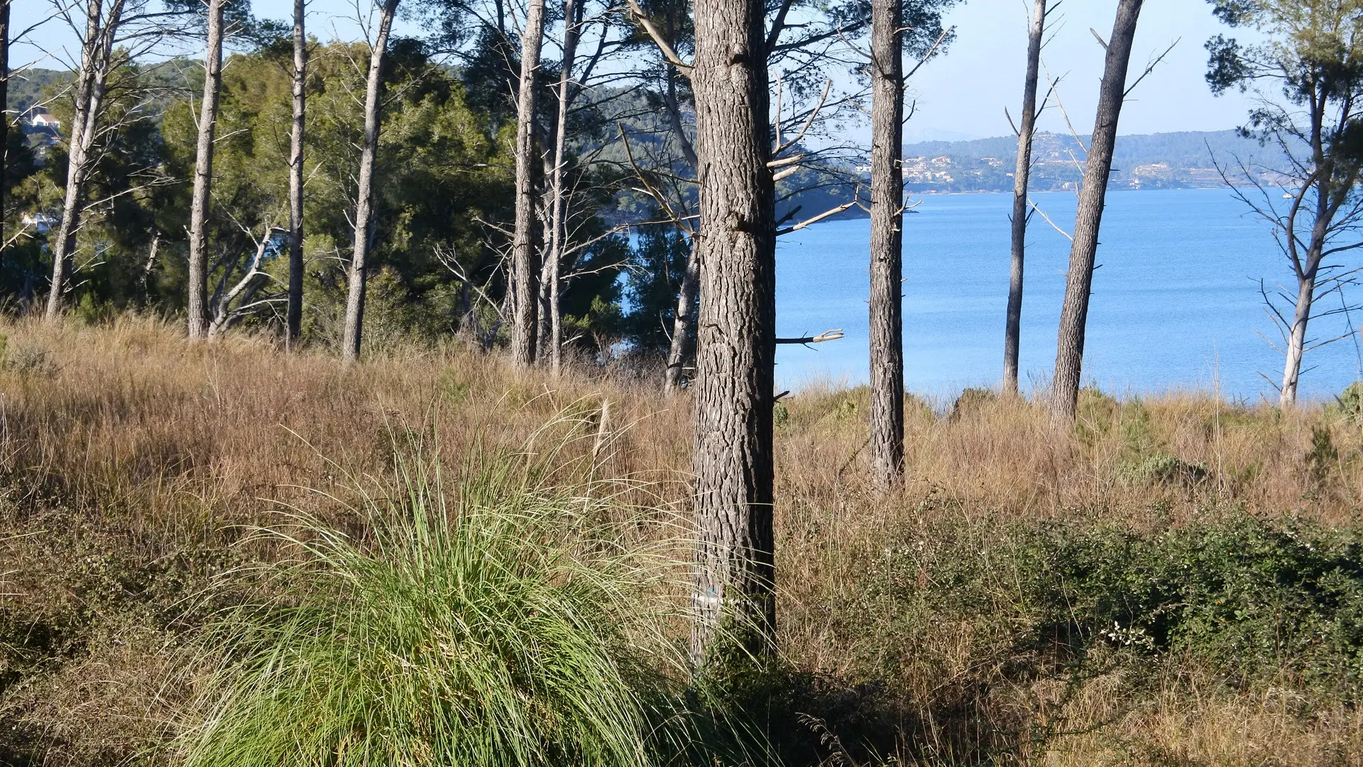
This route, close to the village, takes you into an incredibly beautiful world of forest calm. It leads along the reed-lined canal and offers magnificent views down the hillside.
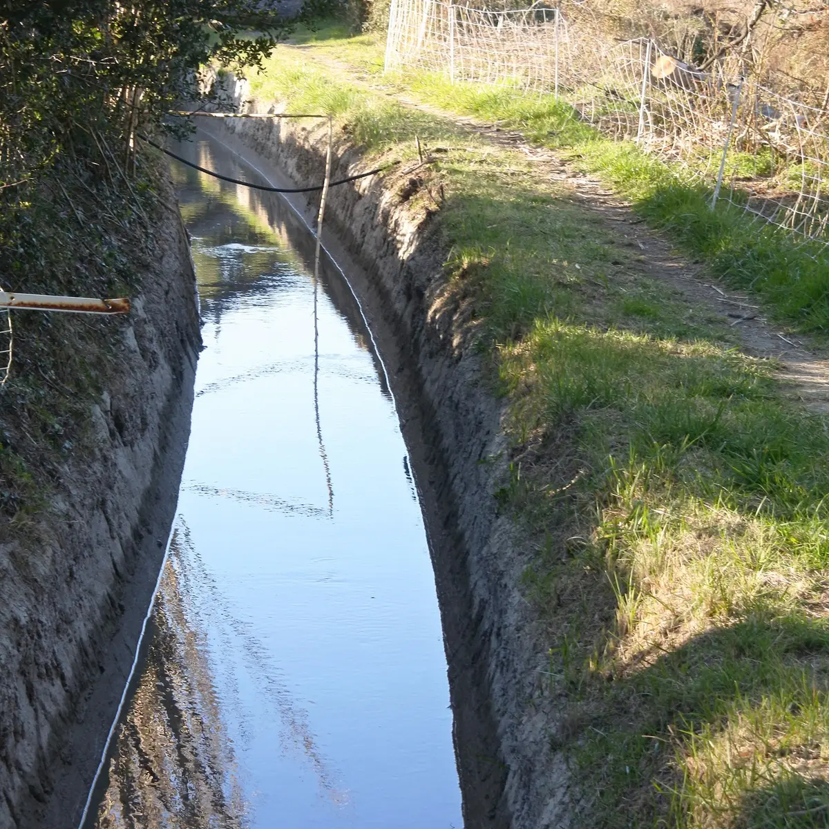
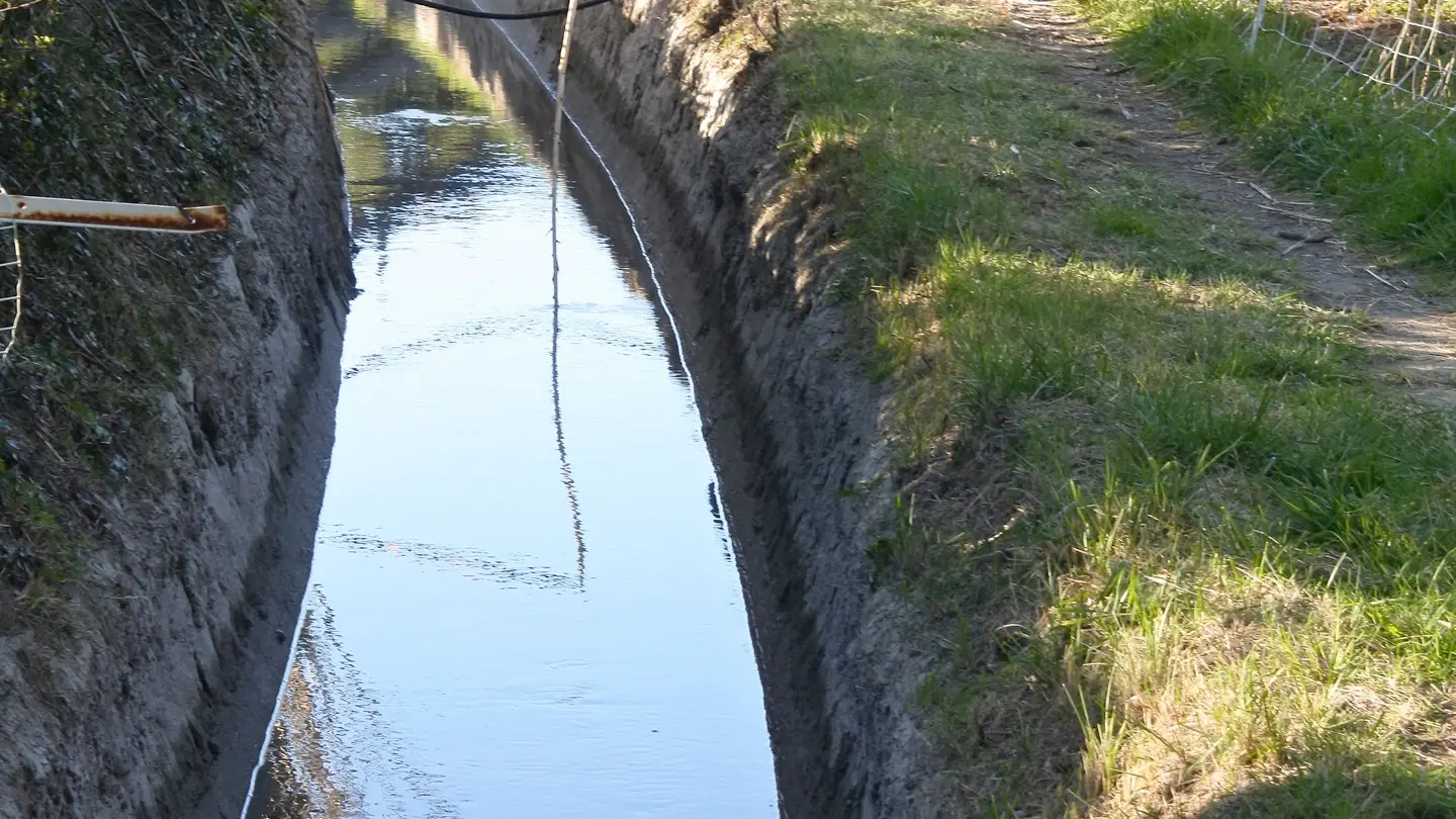
The irrigation canal of Saint-Mitre-les-Remparts :
The irrigation canal captures its water from the Martigues canal. The latter was built after being declared of public utility by a decree of Napoleon III in 1869. It then allowed 531 litres per second to be diverted from the Durance, from the water intake of the Alpines canal near Salon de Provence