Stage of the great loop of the Côte Bleue. Hiking from La Redonne to Sausset-les-Pins
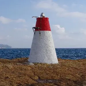
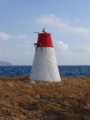
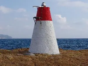
A very beautiful modern coastal itinerary where calanques and beaches, architectural houses and bastides, railway and customs path are mixed together... it is a circuit which can be modified as desired because the departures can be made from the 3 stations: Sausset-les-Pins, Carry-le-Rouet or Ensues-la-Redonne. This itinerary is located in the Côte Bleue marine park, crosses the Carry marine reserve and offers exceptional views over the harbour of Marseille, the Bonne Mère, the archipelago of Frioul, Maïre... the ocean horizon. The Calanques from Redonne to Sausset are south-facing, with a beach for the most part, and are easily accessible compared to their neighbours in the Calanques massif between Marseille and Cassis. Some panoramas from the Pointe de Rouveau, the Pain de Sucre fire ... are breathtaking.