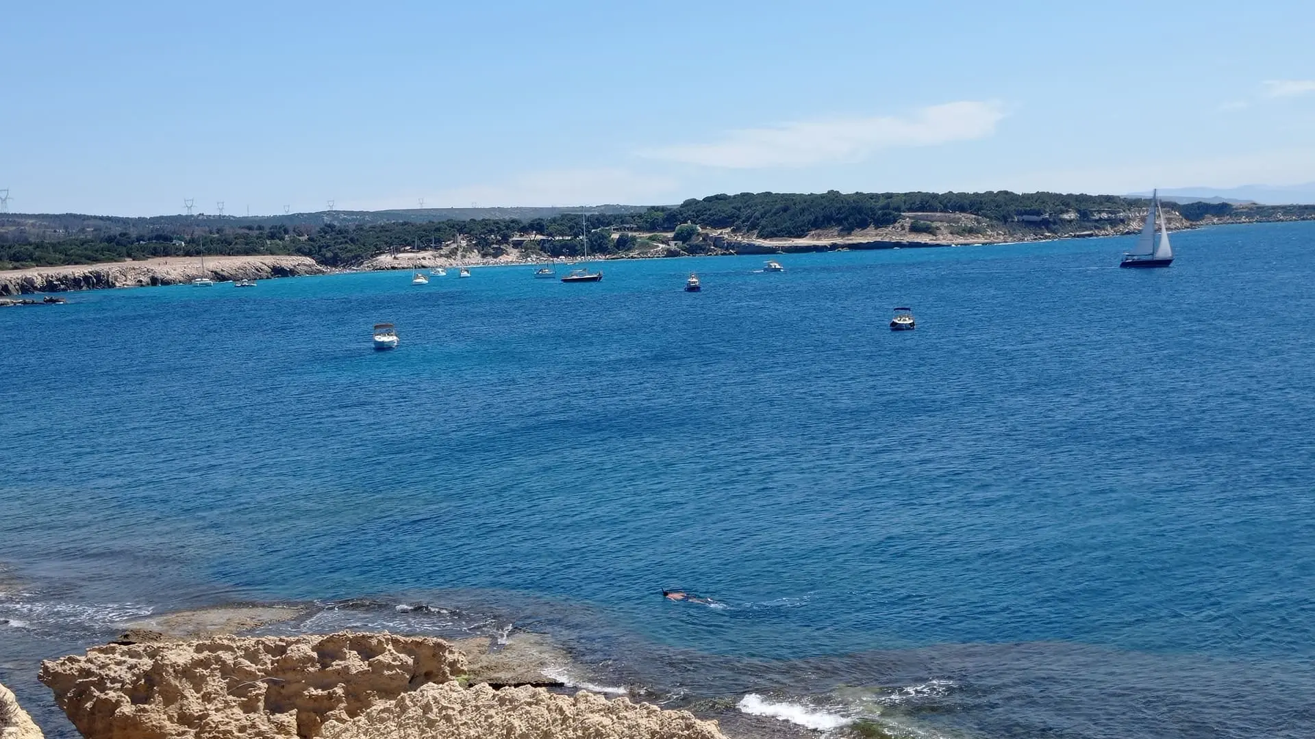
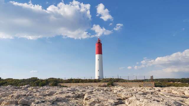
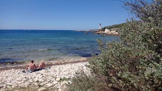
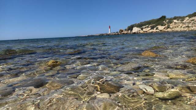
Surprising mineral case nestled in the heart of the Côte Bleue. This tourist loop invites you to discover a bend of a major front on the blue of the Mediterranean.
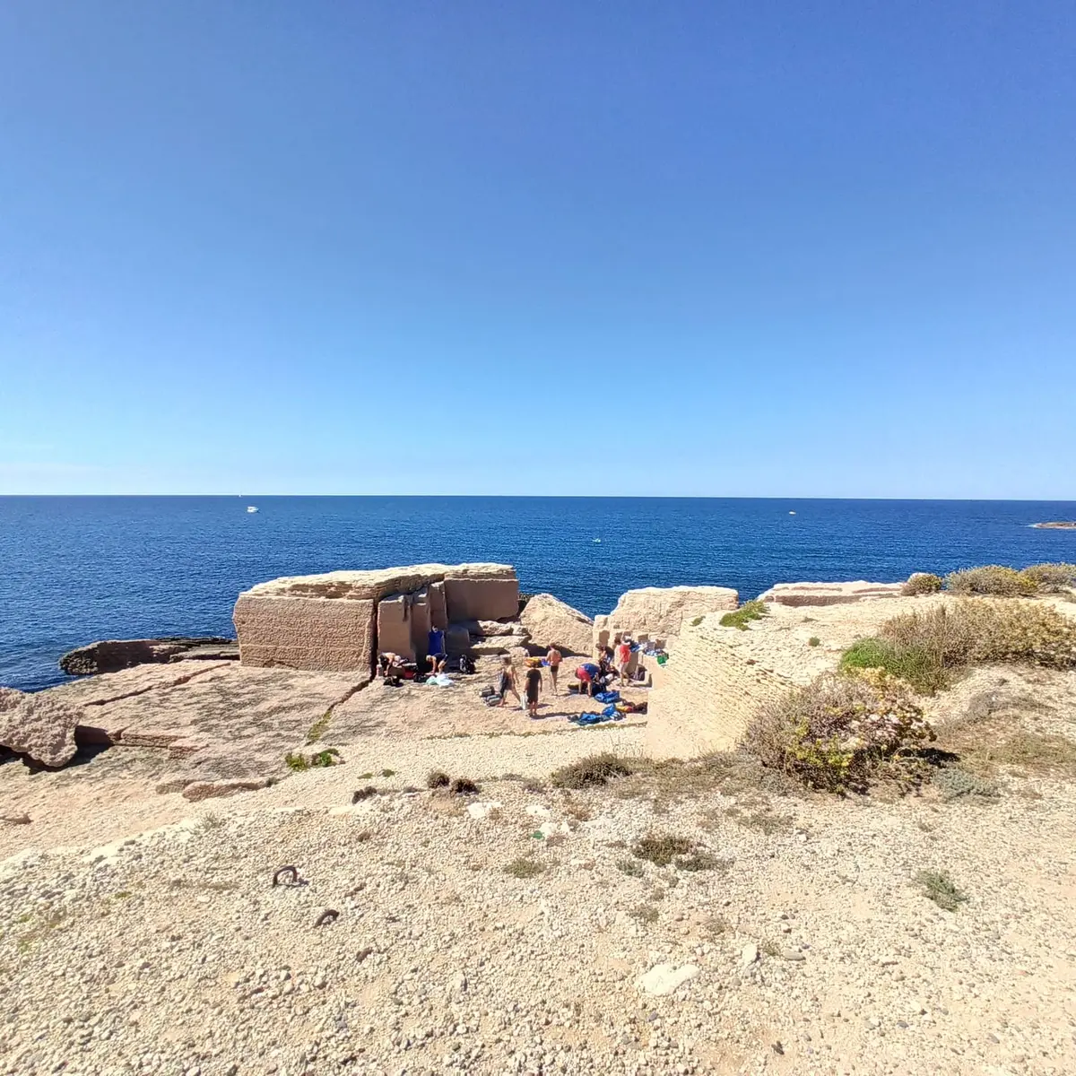
Visit the La Couronne dimension-stone quarries, 3 inland and 5 on the coast, on an 11 km itinerary. Learn about how quarrymen worked over the centuries: discover traces of there work, distinguish different extraction strategies and identify periods of activity.
In detail:
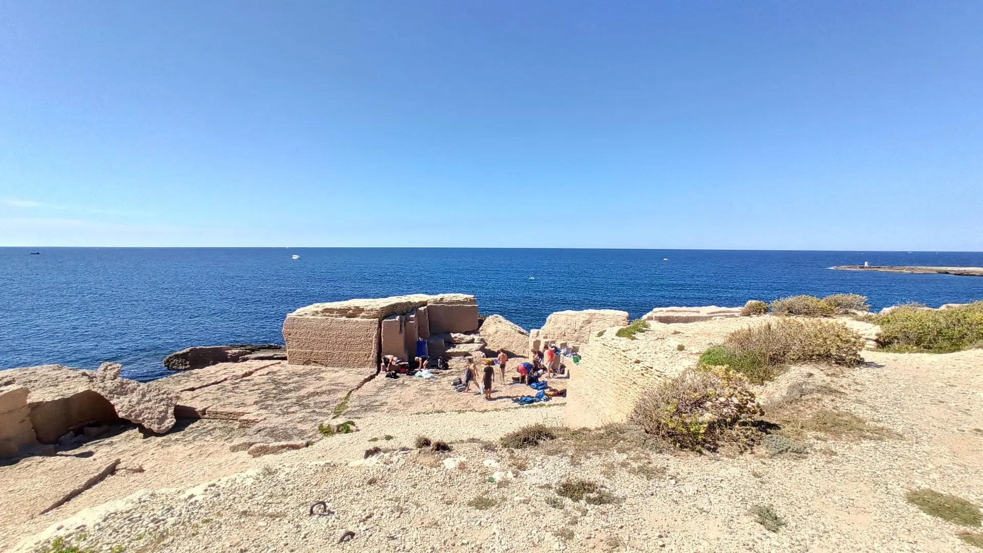
The antique quarries of the Côte Bleue
Massalia needed stone for construction from its foundation in 600BC. The site was not suited to this sort of activity, so the Massaliotes had to find their raw material elsewhere. The first quarries were created on the hewn coastline of the Côte Bleue, not far from Martigues on Cap Couronne, more precisely at Pointe de l’Arquet and the surrounding area. 6 main quarries were worked in antique times, 4 for stone and 2 for pink limestone which was used to build the walls of Massalia and most of its monuments.