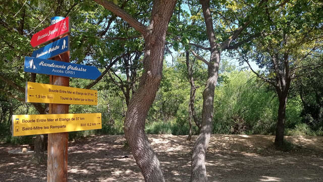
Landscapes between the sea and ponds: An easy 4-hour hike on the hills of Cadéraou and along the beaches of the Etang de Berre, starting in Saint-Mitre-les-Remparts.
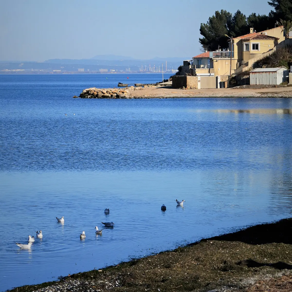
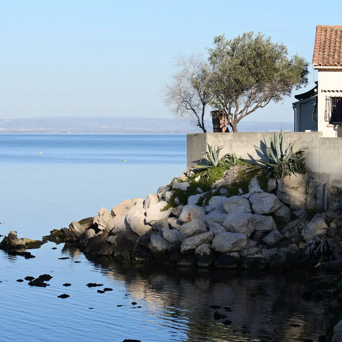
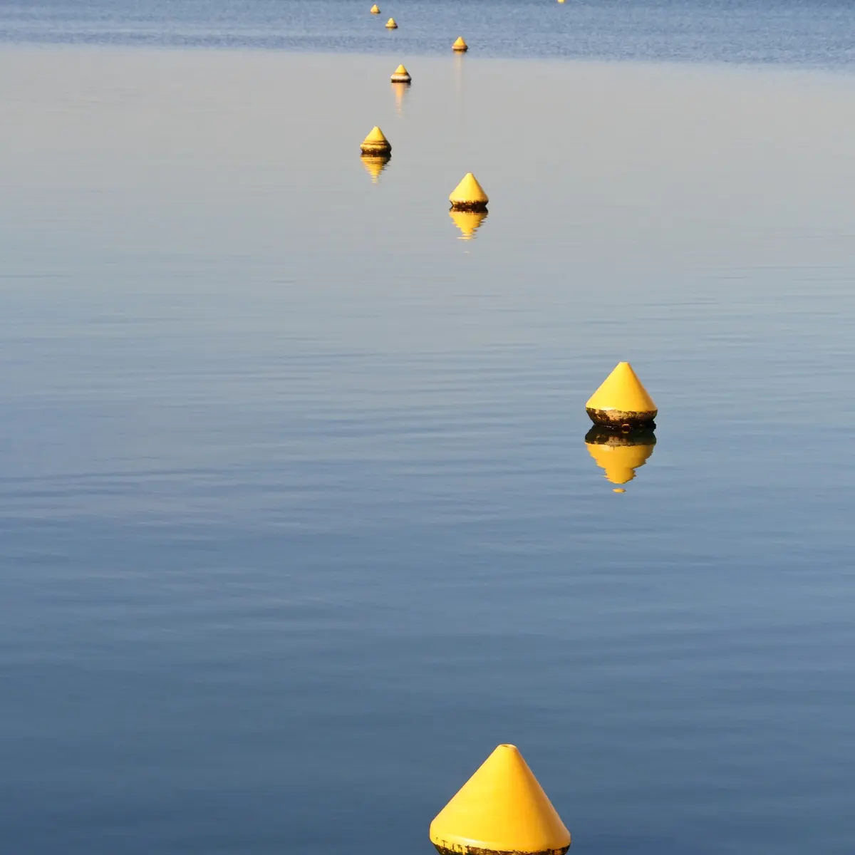
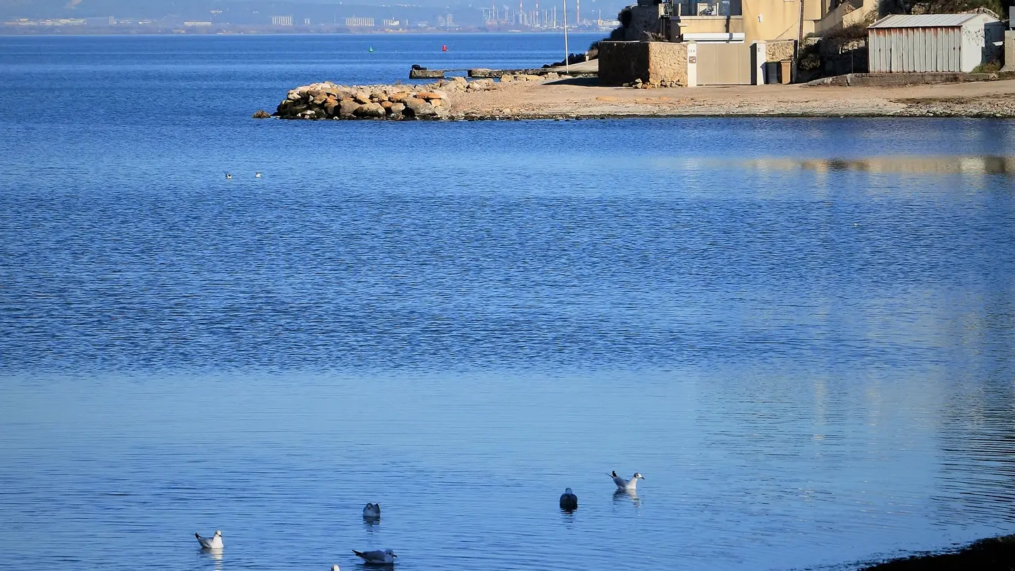
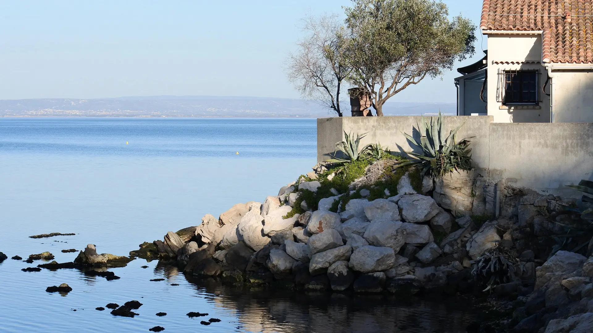
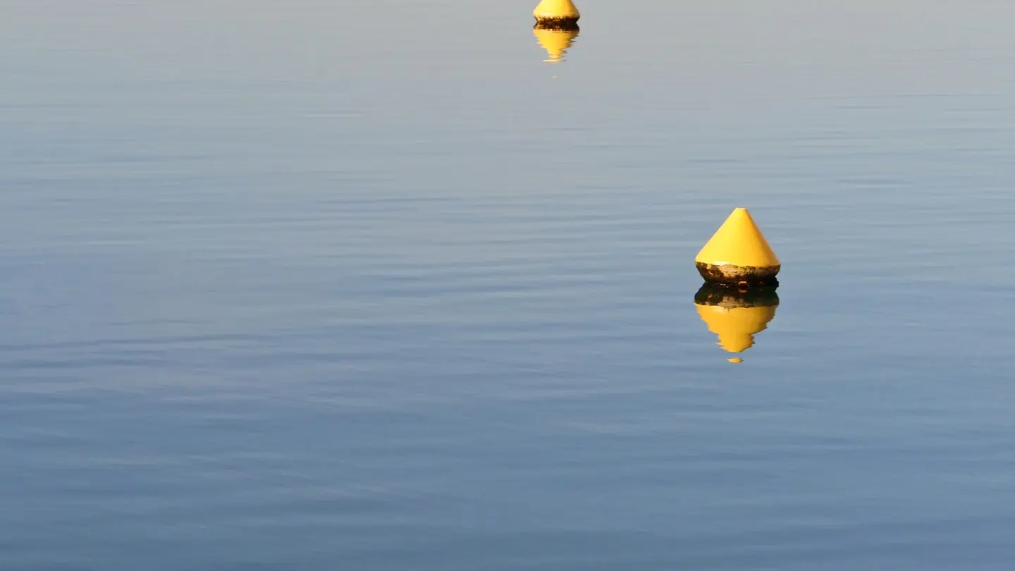
A beautiful walk to discover the Etang de Berre, along its beaches or overlooking it, offering a magnificent panorama of this immense body of water, the Nerthe chain and the Sainte-Victoire mountain or the surrounding towns. Since time immemorial, people have inhabited the banks of the Etang de Berre. On your way, the small town of Saint-Mitre-les-Remparts bears witness to this historical occupation: it has preserved its 15th century ramparts, pierced by two gates. A network of small streets leads to the church, from which you can enjoy a beautiful view of the Etang du Pourra. Not far from the centre, the archaeological site of Saint-Blaise, inhabited since the 7th century B.C., is worth a visit after the walk! Shady hills, exemplary tranquillity, forgotten landscapes, are all good reasons to discover the Balade de l'Etang.
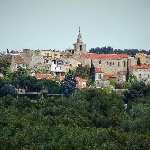
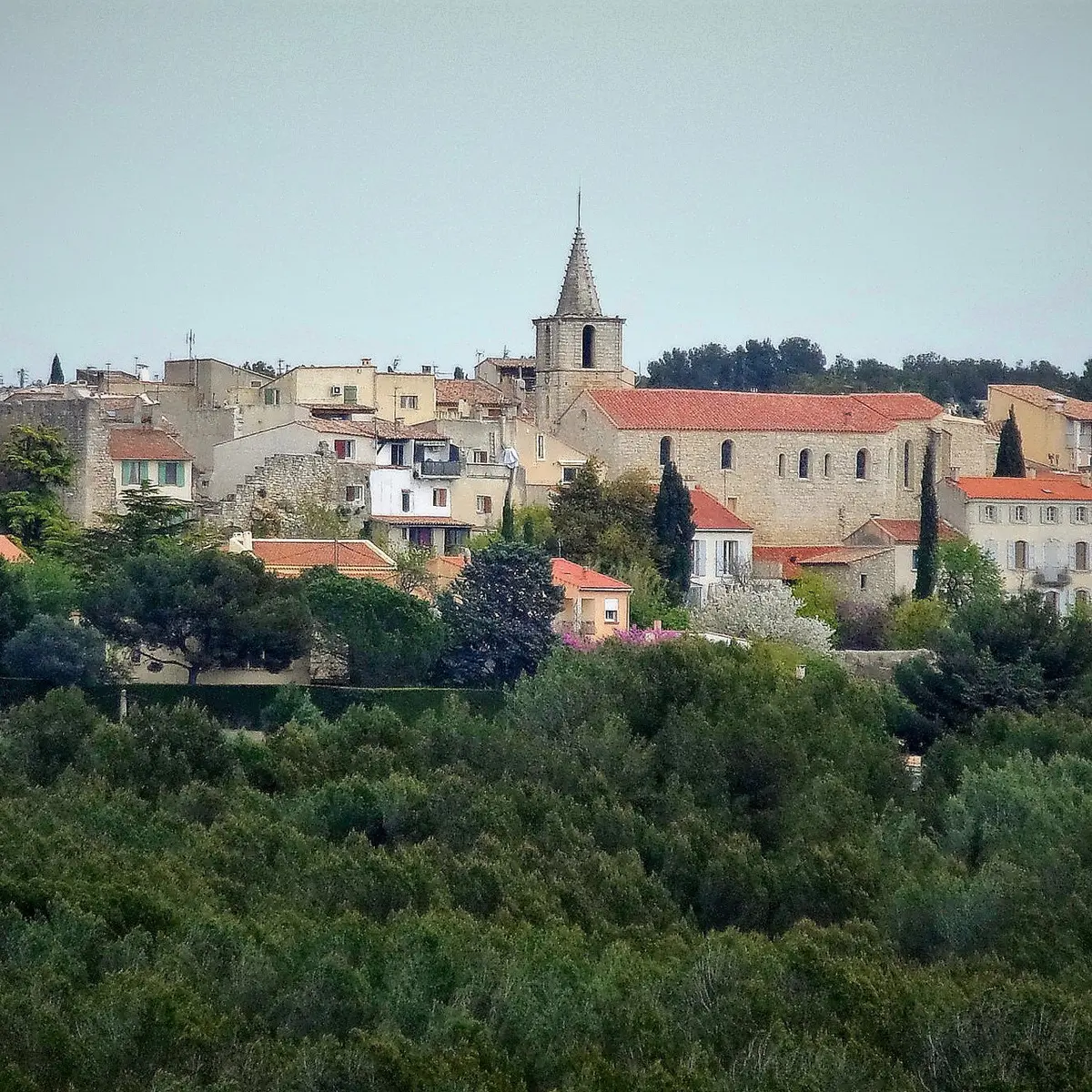
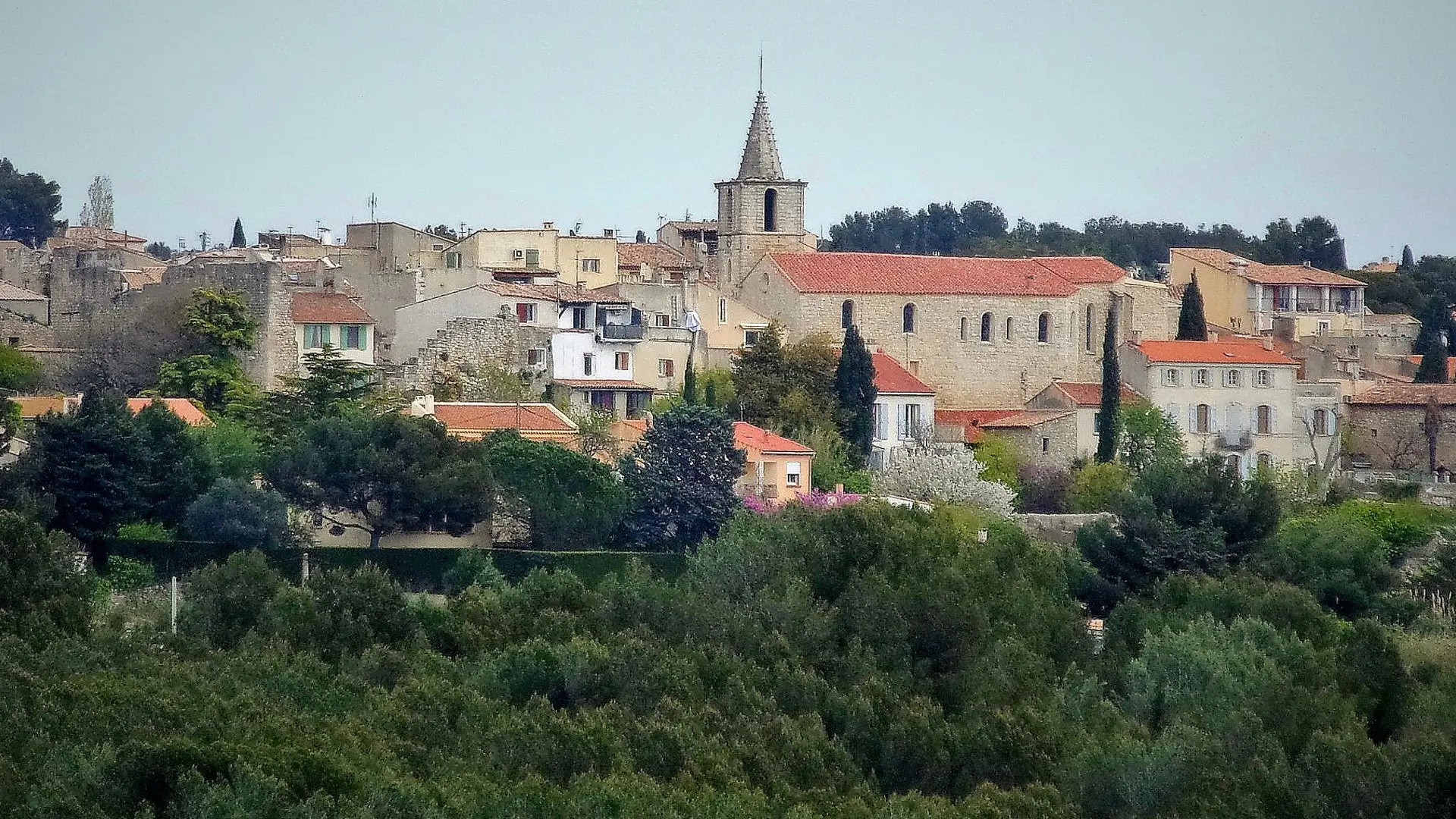
the medieval city of Saint-Mitre-les-Remparts :
The foundation of Saint Mitre, or at least that of the Castrum Sancti Mitrii (Saint Mitre's fortified castle), dates back to the time when the neighbouring town of Castelveyre (now Saint Blaise). The first official document mentioning the town of Saint Mitre does not appear until the end of the 14th century. The ramparts were built at the beginning of the 15th century and although they have been modified over the years, they still exist in their quasi-totality today.
The town's wealth was derived from the cultivation of wheat, vines and, above all, olive trees and the marketing of olive oil, while salt and vermilion ensured the future prosperity of the families of Saint-Mitren.