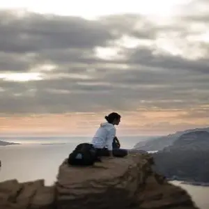
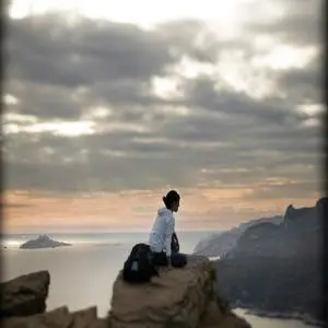
Hike on the Cap Canaille massif, the famous cliff with red and yellow colors which overhangs Cassis. Round trip itinerary of 3 hours, medium level.
Like an invitation to take flight, to travel... the Cap Canaille massif!
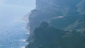
The Mediterranean stretches as far as the eye can see, the bay opens to travelers, the cliffs offer their vertiginous peaks to the assaults of the sea, the Trois Secs mark the end of the land...
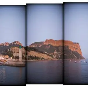
And then, the Bec de l'Aigle rock stands there, like a sentinel.
Depending on the light and your imagination, you can see the head of a bird of prey, an eagle sitting in the water, a capuchin...
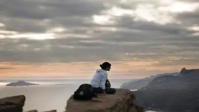
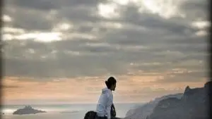
Lined with viewpoints, the famous route des Crêtes climbs, turns, flirts with the sea, swirls in the wind. It allows the less courageous to enjoy these superb views.
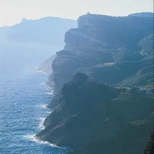
This wide rocky plateau offers a view of the islands of Marseille up to Cap Sicié, towards Toulon. While continuing, an esplanade will allow you, in full safety, to enjoy the spectacle which is offered to your eyes: in the distance, the big blue, with your feet, the vacuum... Continuing your way, the Soubeyrannes cliffs are cut out, as if worked by a lacemaker. While going up, the path treads a typically Mediterranean low scrubland: kermes oaks or
"reganéou", brooms, rockroses, aphyllantes... So many species left to reconquer the spaces ravaged by successive fires (1957-1980).
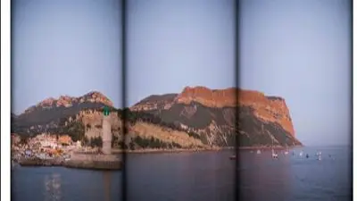
Le rocher de la grande tête : From the top of its 394 m, the view is breathtaking, offering a real condensed view of Provence. To starboard, Marseille, the creeks and Cassis. To port, La Ciotat, the Cap Canaille and Toulon in the distance. To the north, the distant peaks of the Sainte-Baume and Garlaban.
At the Semaphore, you will have the best view of La Ciotat, the Bec de l'Aigle rock, and the Ile Verte, a classified site protected by the General Council of the Bouches-du-Rhône, and the area around the orientation table offers a perfect picnic area.