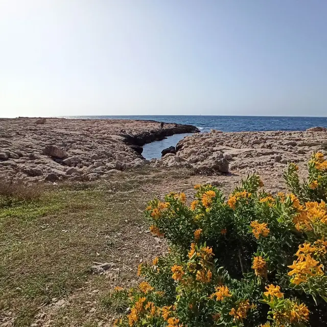
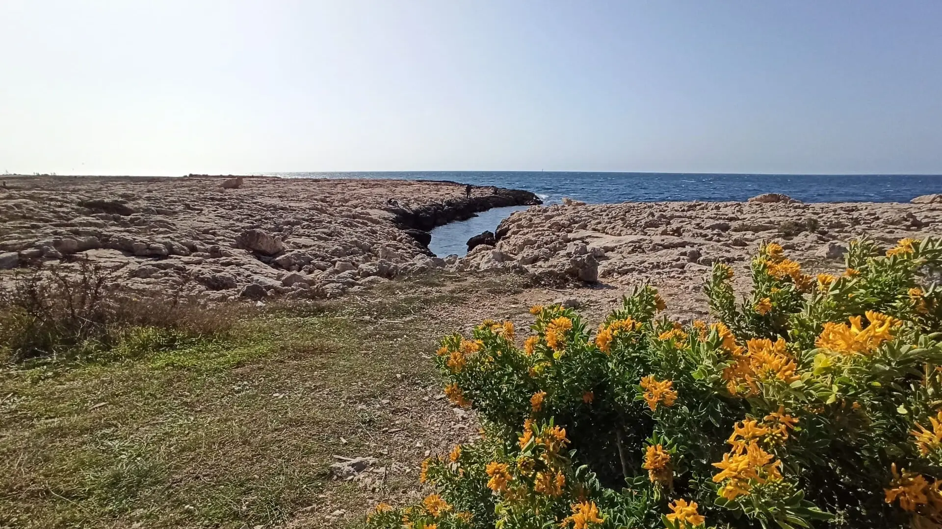
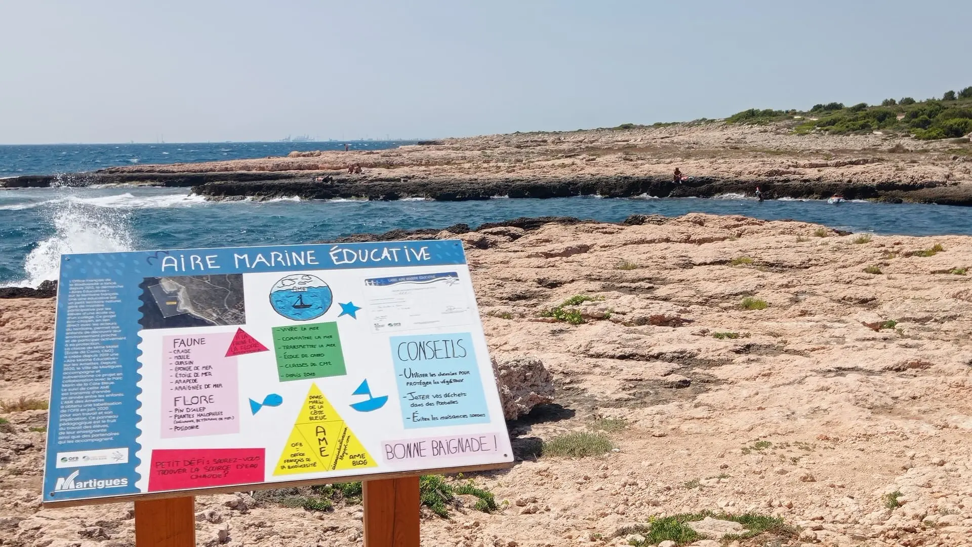
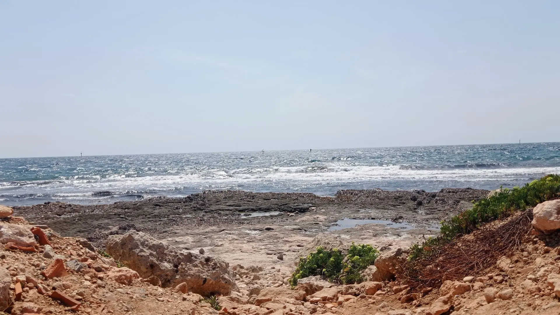
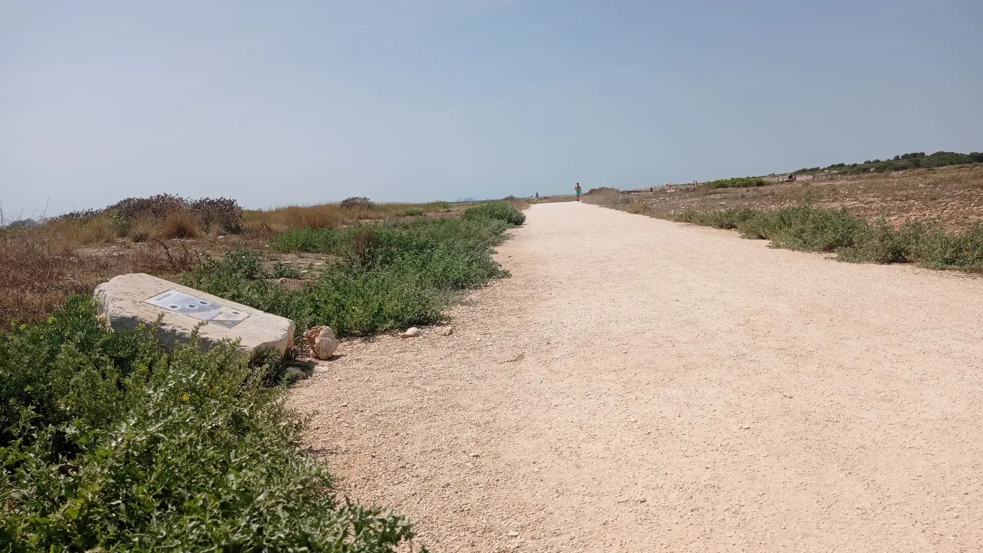
The Plaine de Carro botanical path is intended for original and educational walks to discover all the natural beauty of the Côte Bleue.
The Plaine de Carro is an important site for its flora, largely due to original substratum with deposits of Miocene molasse and Burdigalian calcarenite.
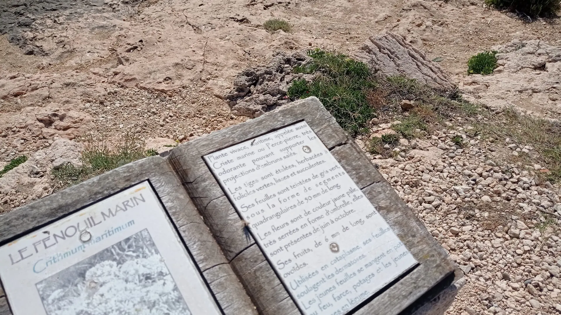
The floral species include 8 protected vascular plants:
Posidonia: an endemic Mediterranean species. It is not an algae, but a phanerogam, or flowering plant, which left the land to live in the sea over 120 million years ago. It has brown woody climbing rhizomes between 1 and 2 cm wide where rhizomes grow. The rhizomes end in groups of 4 to 8 sheathed leaves about 1 cm large and 20 to 100 cm long.
They develop roots which attach to the underlying substratum. As the rhizomes grow upwards in reaction to the sediment deposits, Posidonia forms a mat on the ground consisting of an interwoven mesh of rhizomes and roots compacted by the sediment. The mat can reach several metres in depth, growing up to one metre per century. Posidonia develops into meadows of different sizes which can reach several hundred hectares without interruption. The regression of meadows due to pollution or other disturbance results in expanses of dead mat which is slowly covered by sediment.