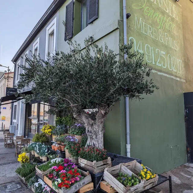

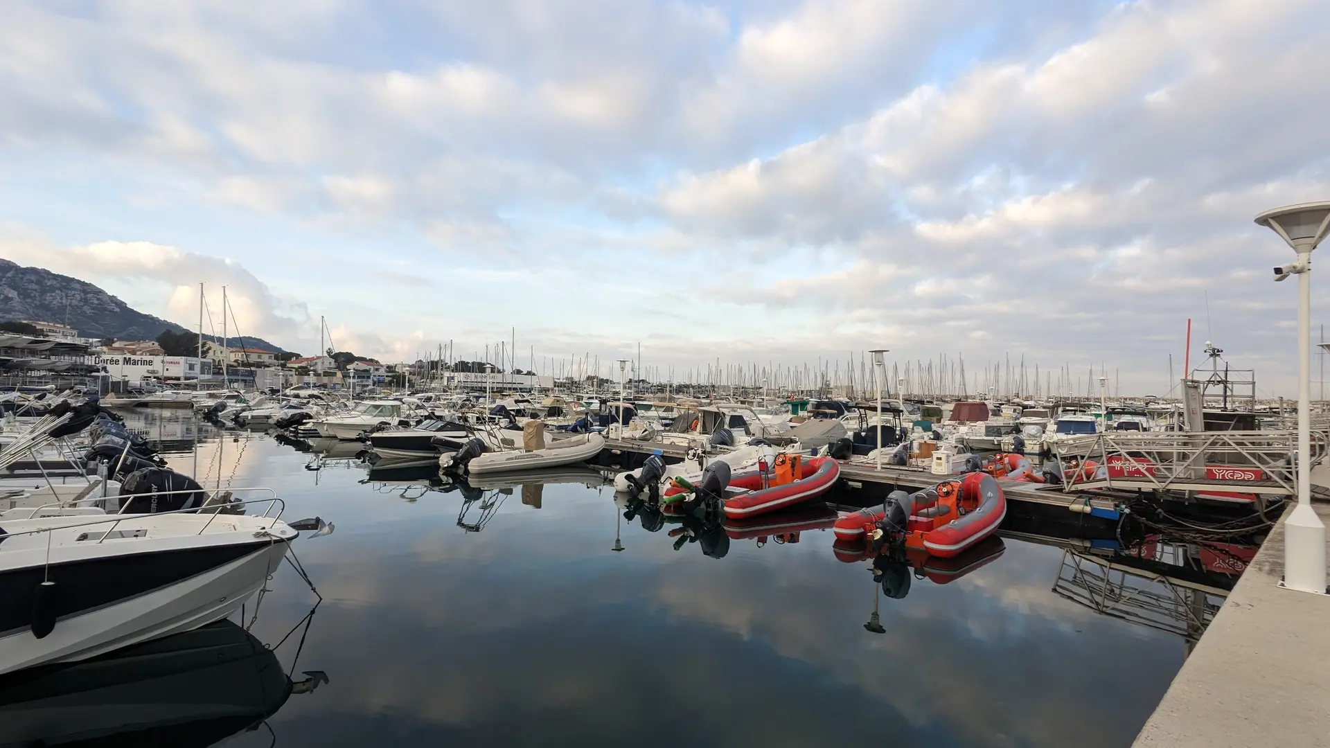
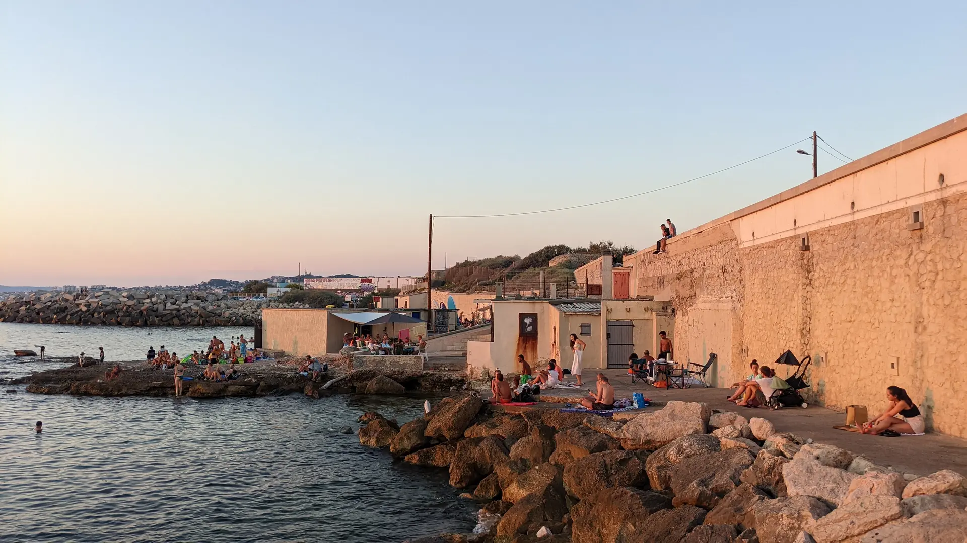
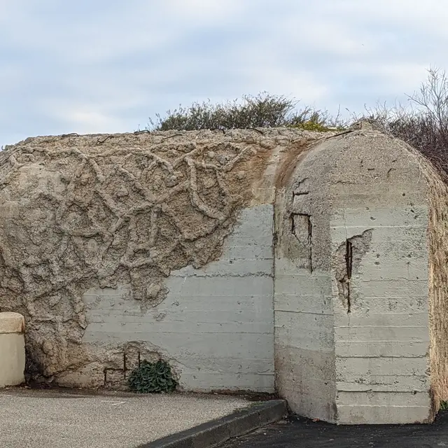
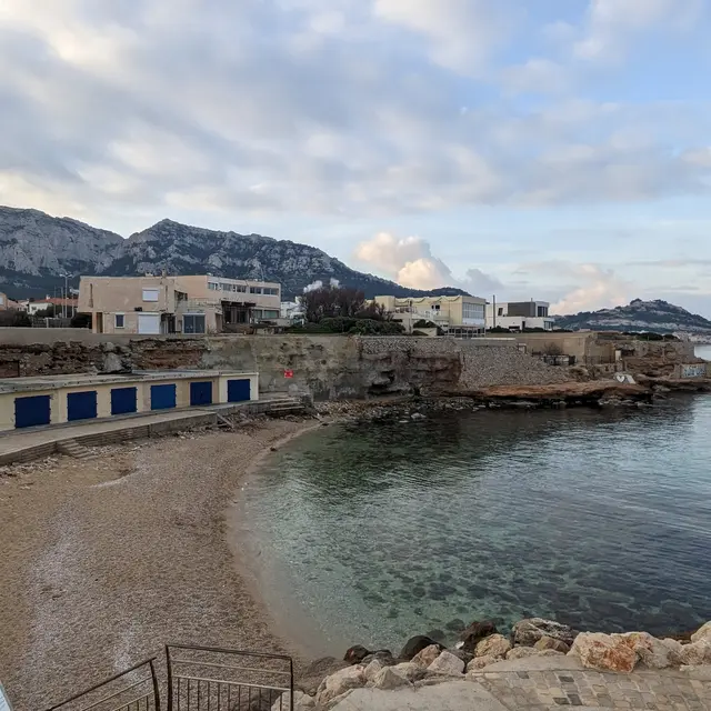
3Bunkers and coves
Built by German troops. A cumbersome legacy of the occupation of the free zone, which did not prevent the Allied landings in Provence on 15 August 1944.
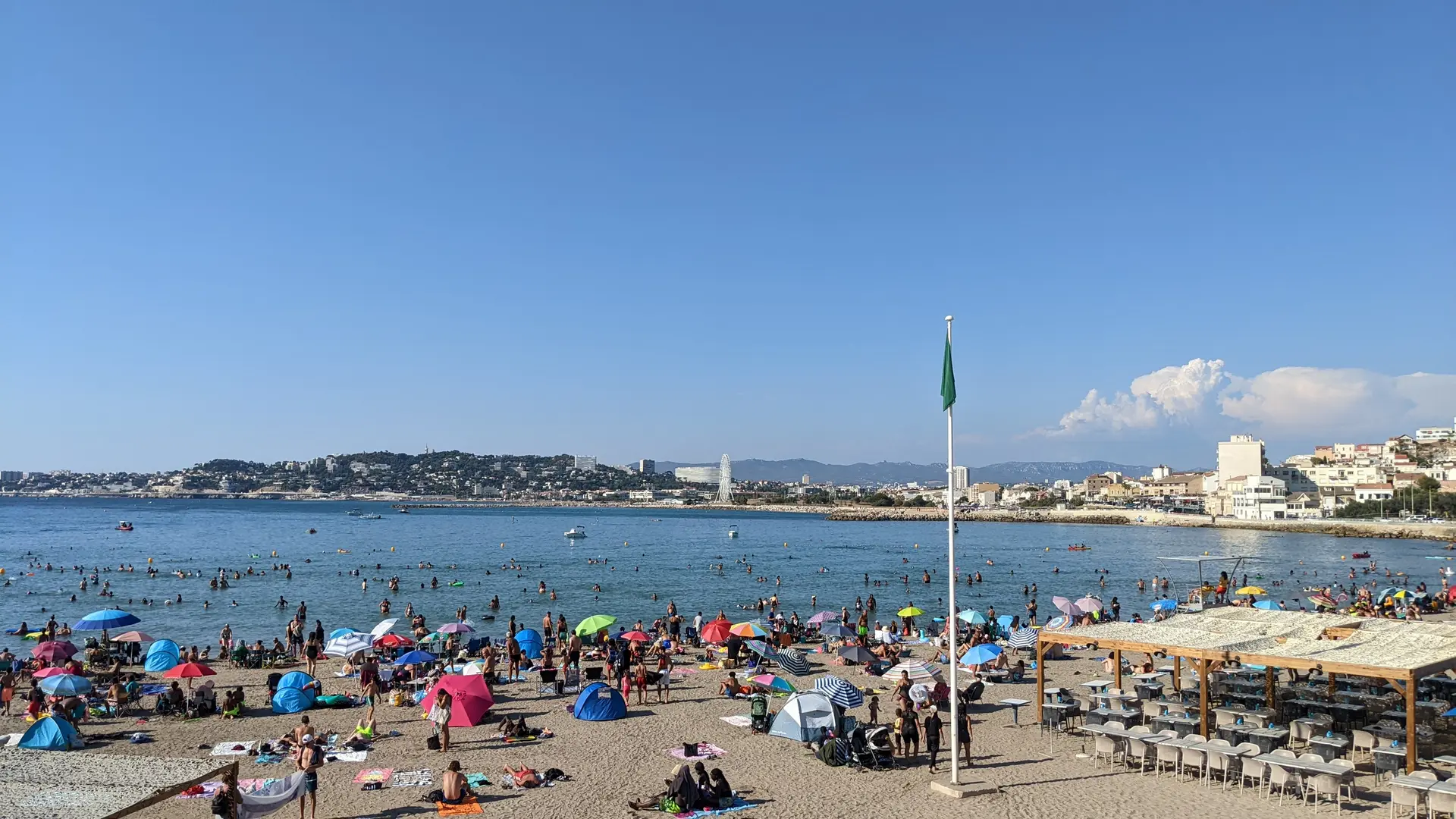
Below, two creeks follow one another. The men's bath (also known as the Anse des Phocéens) and the women's bath, recognisable by its row of cabins with blue-painted doors.
In the 19th century, people did not mix when bathing.
The cabanons are old shelters that were used to store boats and fishing tackle.
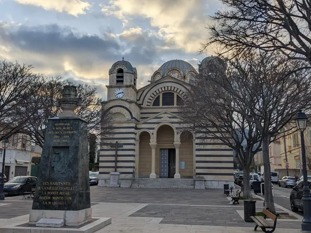
4Church of Saint Eusebia
Church built in the same neo-Byzantine style as the Cathedral of Major or the Basilica of Notre-Dame de la Garde.
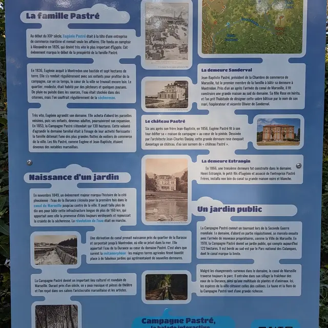
5Pastré park
6Marseille Canal
In 1849, water from the Durance finally reached Marseille via the Marseille canal, providing the city with a permanent water supply. It was a technical feat that gave a boost to the crops and ornamental gardens of the local bastides.
The Pastré countryside benefited from a diversion of the canal, which carried the water to the Madrague de Montredon, where it then flowed into the sea. As a result, the park became an important cultural and social centre.
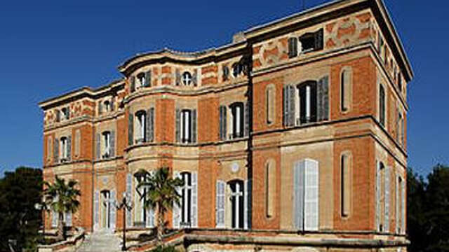
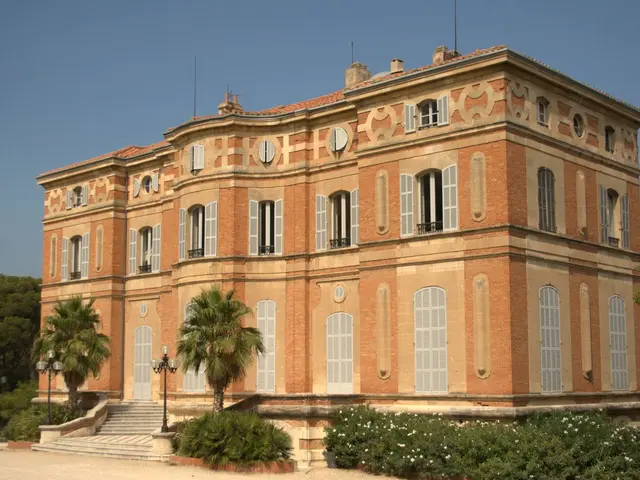
7Château Pastré
This Bastide dates back to 1860 and is a reinterpretation of the Louis XIII style. Its style subtly combines Marseille brick with blond Arles stone. It was once home to the Musée de la Faïence, which is now housed alongside the fashion and decorative arts museum at Château Borély. Countess Lili Pastré gave shelter in this villa to many foreign and Jewish artists and writers exiled in France, before events forced them to continue their exile to more welcoming countries.
8Bonus gift for the curious
To complete your discovery of the Parc Pastré, the Marseille water company and the Metropole are offering you the chance to find out how the arrival of water has transformed the area.
Scan the QR code on the sign or visit https://parcours-pastre.eaudemarseille-metropole.fr

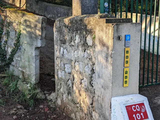
9Secret passage
To leave the Pastré countryside, here's the passage you'll have to take.
10Emmaus Community
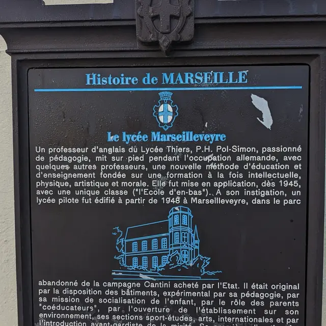
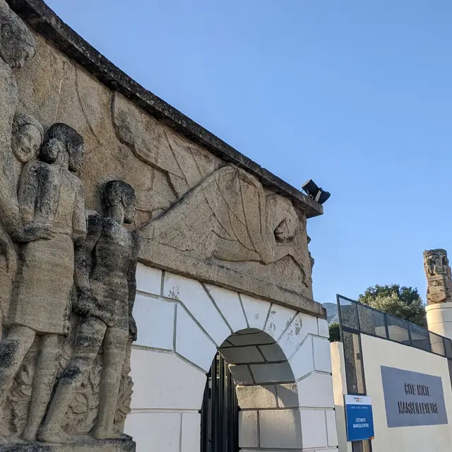
11Marseilleveyre High School
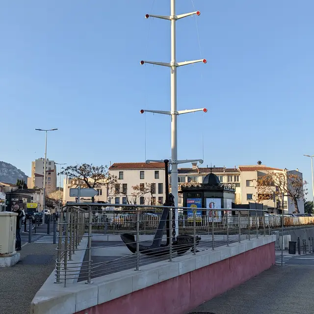
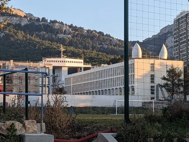
12ENSM School
At the foot of the hill, you'll find a navigational bridge and other elements usually found on a large merchant ship. This is the flagship building of the Ecole Nationale Supérieure Maritime.
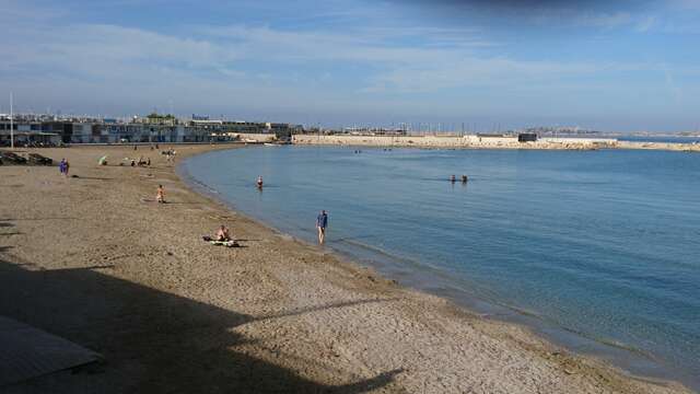
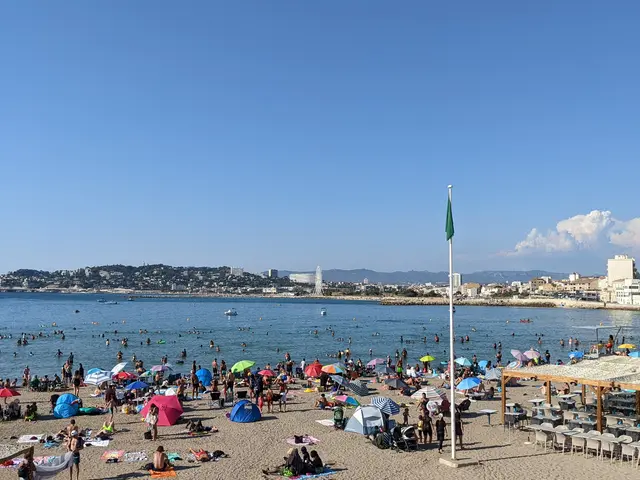
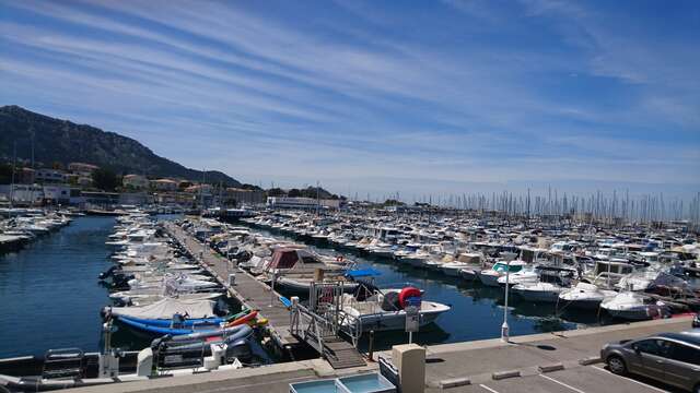
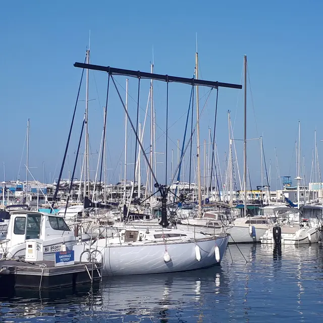
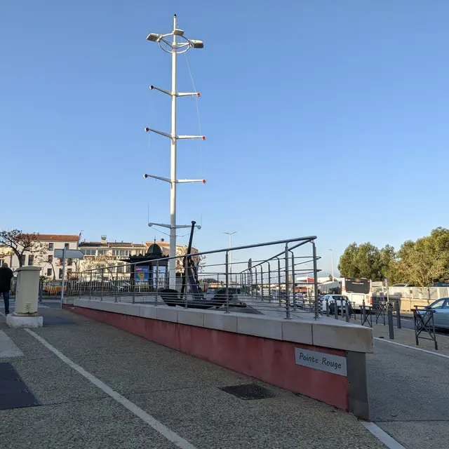
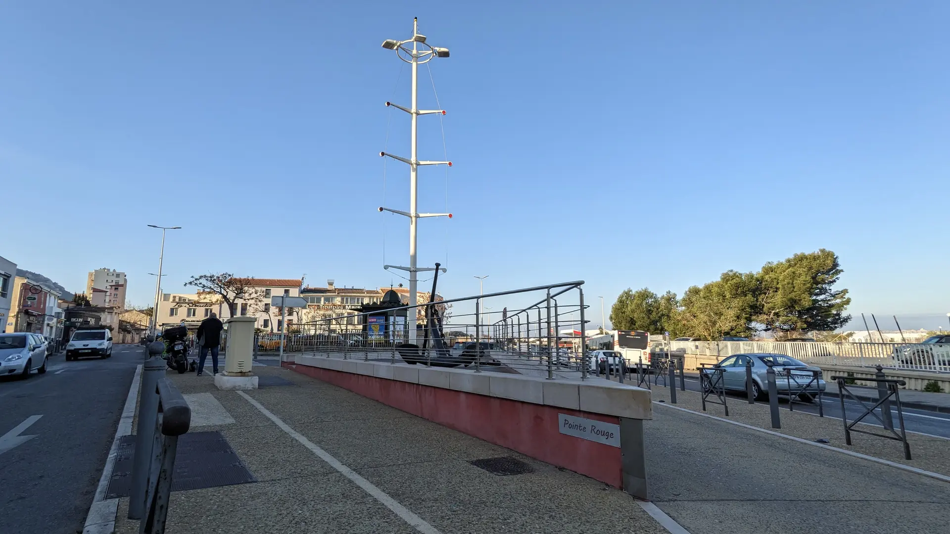
13La Pointe-Rouge
Back to the starting point. Thank you for taking this walk.