randonne-cte-bleuecmotcm.jpg

The Côte Bleue via the sentier des douaniers

Also known as the sentier du Littoral, the sentier des douaniers runs from Niolon to Cap Méjean. It is a hiking trail that allows you to discover the Côte Bleue, a 28-kilometre long maritime façade of the Estaque chain linking Marseille to Martigues. Historically linked to the French Revolution, this path is the best way to get close to the steep shores and splendid creeks that surround it.


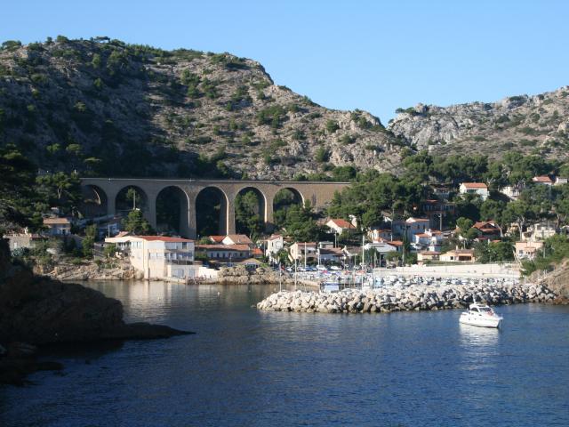
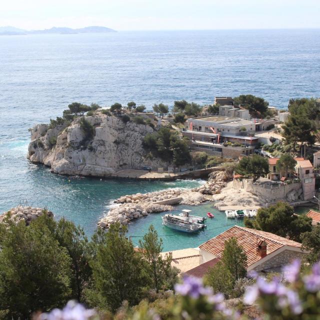
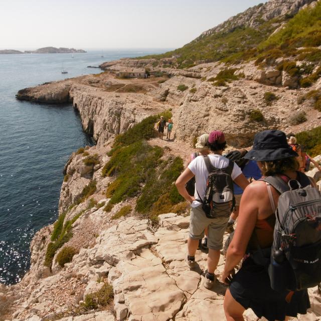
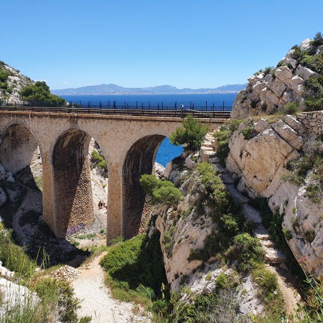
On the sentier des douaniers during the French Revolution

In 1789, at the height of the French Revolution, smuggling spread considerably following the consequent taxes levied on fabrics, cloth, tobacco and alcohol. A system of coastal surveillance was established along the shores. This is how the customs officers intervened. In 1791, the very first customs trail was created in Brittany, and other trails were created along the French coast. Today, thousands of hikers walk these symbolic paths.


Discovering the Côte Bleue via the coastal path

Inaugurated in 2018 under the impetus of the communes of Ensuès-la-Redonne, Carry-le-Rouet, Sausset-les-Pins and Martigues, the great Côte Bleue path offers different itineraries to discover the most beautiful landscapes of the Mediterranean. This GR trail includes 17 loops of 2 to 12 kilometres with different gradients to satisfy all types of walkers, whether they are experienced or beginners. It merges with the Douaniers trail which already existed before.

The “sentier des Douaniers” or “sentier du Littoral” crosses the most beautiful landscapes of the Côte Bleue and offers to the lovers of hiking numerous paths between sea, forest and rocks. You can take it east or west depending on the direction you want to go.

Starting from the Rouet beach in the direction of Niolon/L’Estaque, you take a 16 kilometre route which will take you 8 hours round trip. Follow the red and white markings (GR 51) by taking the Eaux Salées path which will take you up to the Chapelle du Rouet. From here, you can enjoy a breathtaking view of the harbour of Marseille. Continue towards the Madrague de Gignac and the port of La Redonne. You then take a small path leading to the “calanque des Anthénors” where the seaside continues to the island of Everine. The “sentier des Douaniers” continues to the gates of Marseille in the Estaque district. The Niolon-La Redonne trail is one of the most popular with hikers, as it crosses many creeks. Its advantage: you can easily take the TER Marseille-Miramas train at any of the stations where it stops.


Preparing your hike on the Provencal coast

If you wish to discover the many facets of the Côte Bleue, you must prepare your hike meticulously beforehand. In terms of equipment, opt for suitable walking shoes, a rucksack, sufficient bottles of water or water bottles (at least 2 litres per day and per person), protein bars, sun cream and a head covering to protect you from the sun.

Strictly follow the marked paths to avoid getting lost. Beforehand, check the time and weather forecast for the day of the walk. Do not overestimate your physical abilities: the main thing is to enjoy walking. Access to natural areas is regulated during the summer period, from June to September, to prevent the risk of fire. It is therefore necessary to check the official sites before setting off on your adventure.

Protecting and respecting the environment and nature is essential for a perfectly controlled hike. For example, it is forbidden to light a fire or smoke. Take your rubbish with you in your bag and do not throw it on the paths. Admire the trees and plants without cutting or picking them. Keep in mind that the Côte Bleue is a source of life thanks to its creeks, its forest and its hills, but these remain fragile. Better safe than sorry…


Close