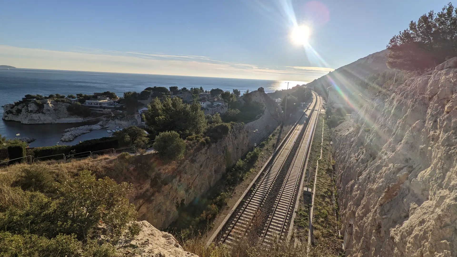
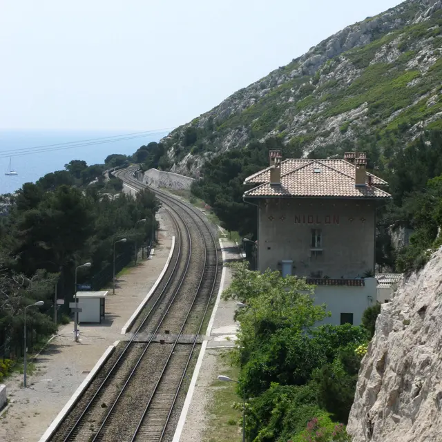
1Niolon station
The station is 40 metres above the sea. It no longer offers any SNCF-related services.
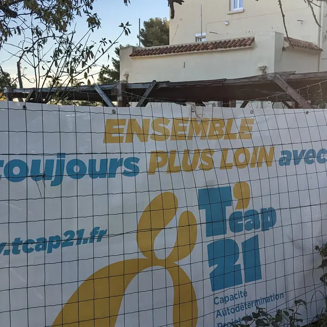
The former passenger building is now home to an inclusive third-party project with an outdoor refreshment area and soon a restaurant and gîte, where the main players are young adults from the TCap 21 association.
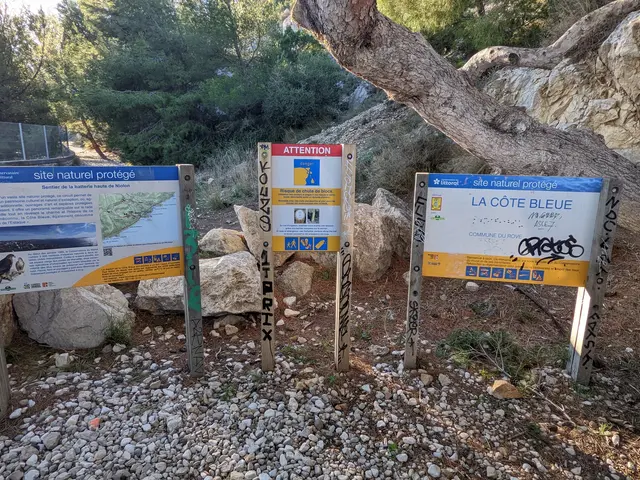
2Start of the hiking trail
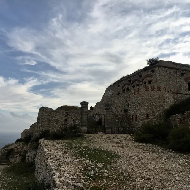
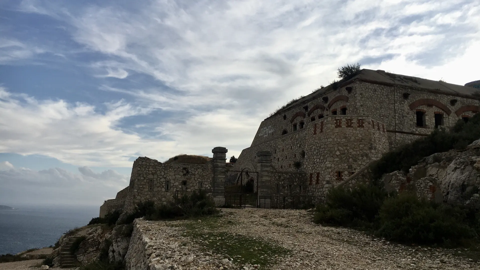
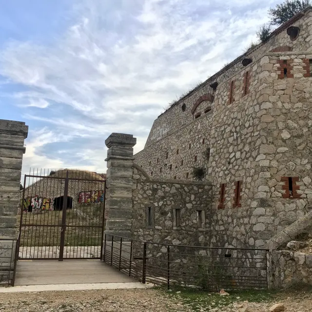
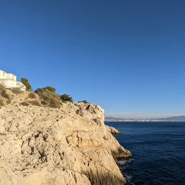
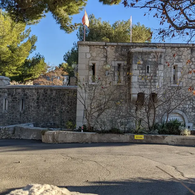
3The Fort of Niolon
Situated 193 metres above the sea, the Niolon fort is a group of former French military batteries dating from the 19th century. Designed by General Séré de Rivières, it was built between 1860 and 1880 to defend the harbour of Marseille against any attack from the sea.
Then, during the Second World War, from 1942 onwards, the site, like all the others along the Mediterranean coast, was occupied and partly remodelled by the German army.
Unfortunately, the Conservatoire du Littoral decided to close the fort to the public. Because of its remote location, it has suffered a great deal of damage through acts of vandalism.
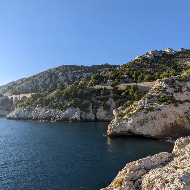
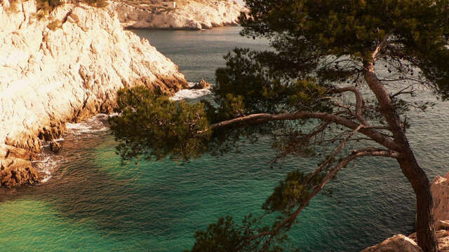
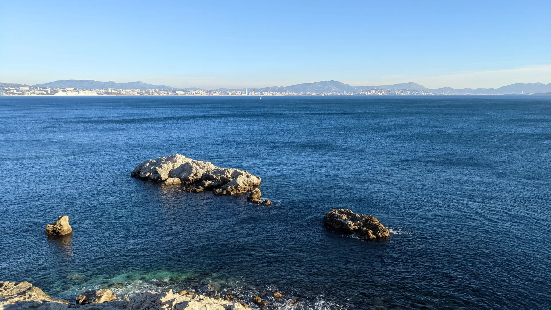
4Calanque de la Vesse
You arrive in the Calanque de la Vesse after walking along a winding road through the typical plants that make up the garrigue (broom, mastic, thyme, rosemary, sarsaparilla, holm oaks, pines, etc.).
Two small islets just off the coast, between the Calanque de la Vesse and the Calanque de Niolon, are great spots for diving or even snorkelling from the shore.
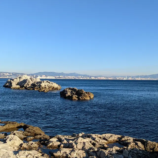
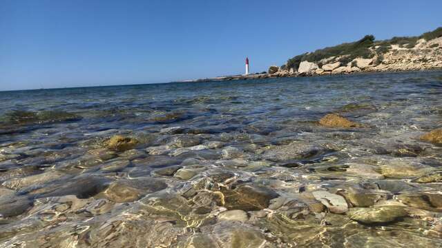
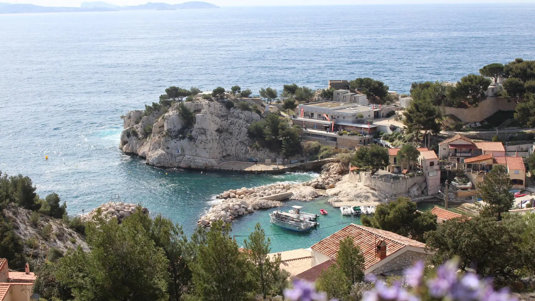
5La Calanque de Niolon
Nestling in a charming little cove, well protected from the Mistral wind, the Calanque de Niolon is located in the heart of the Côte Bleue Marine Park.
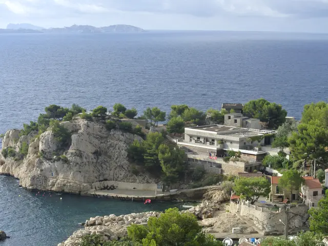
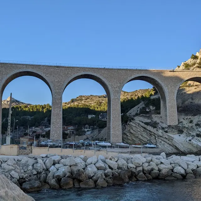
6UCPA centre
A military vestige linked to the upper part of the Niolon fort, the lower part now houses a scuba diving training centre. The German bunkers have been converted to provide, alongside more recent buildings, all the facilities you need for a sporting holiday without too many frills. Here you can experience a return to basics.
The UCPA centre at Niolon is the only federal training centre for diving instructors on the Mediterranean coast.
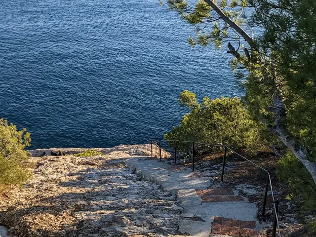
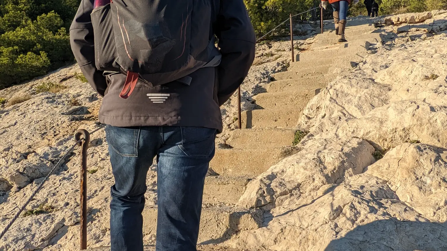
7Steep staircase