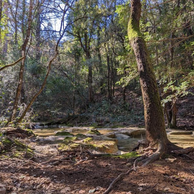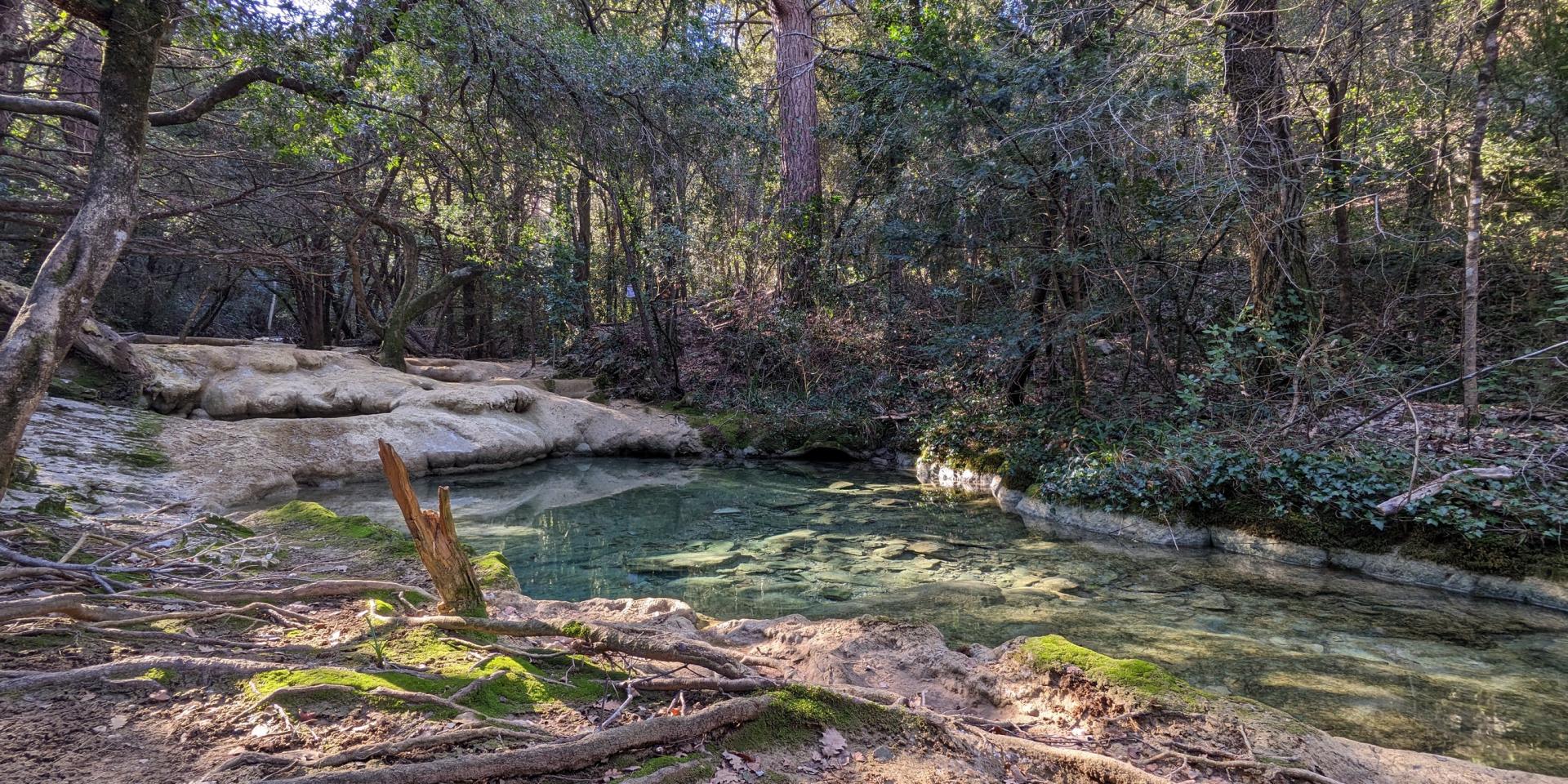
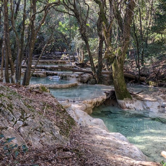
At the source of the Huveaune: a Mediterranean coastal river
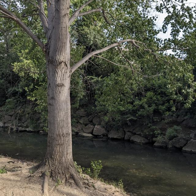
The Huveaune springs from the rock in the heart of the Sainte-Baume, in the Castelette cave at just under 600 metres altitude. Originating in the commune of Nans-les-Pins, the river flows along the northern side of the Sainte-Baume massif before threading its way between the Garlaban and Calanquesmassifs to the Mediterranean Sea. In just fifty kilometres, it flows through 7 communes : Nans-les-Pins, Saint-Zacharie, Auriol, Roquevaire, Aubagne, La Penne-sur-Huveaune and Marseille.
Right from its source, the Huveaune is bothbeautiful andfragile. Its natural flow is irregular, and can be reduced to a trickle, or even disappear temporarily in summer in certain parts. But don’t be fooled by its apparent calm, for its floods are fearsome and are even the source of its name: Huveaune is said to derive from the Celto-Ligurian ” Ybelcos ” or ” Ubelka “, meaning “the devastating one”.
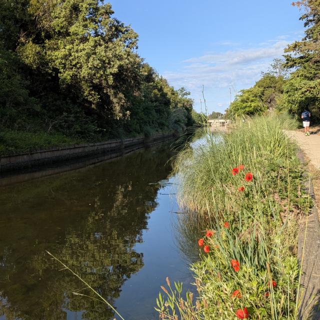
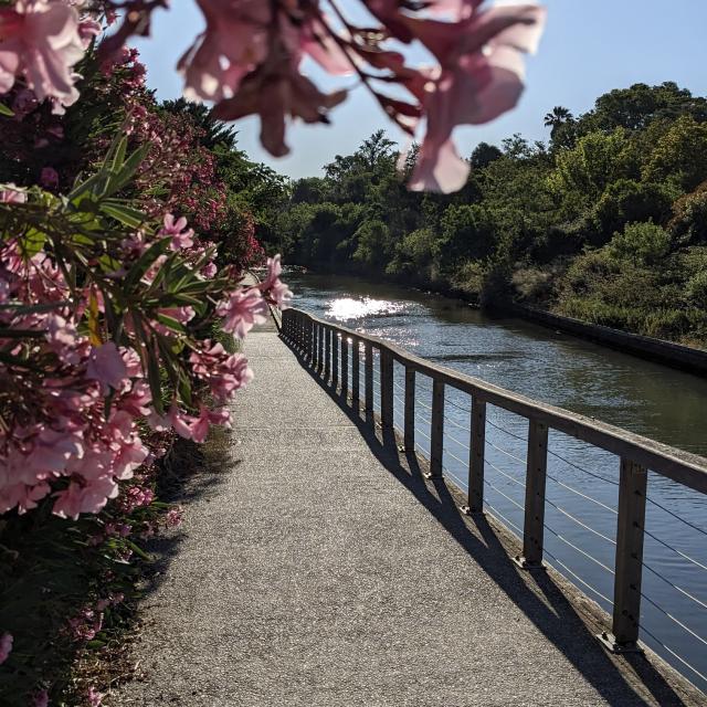
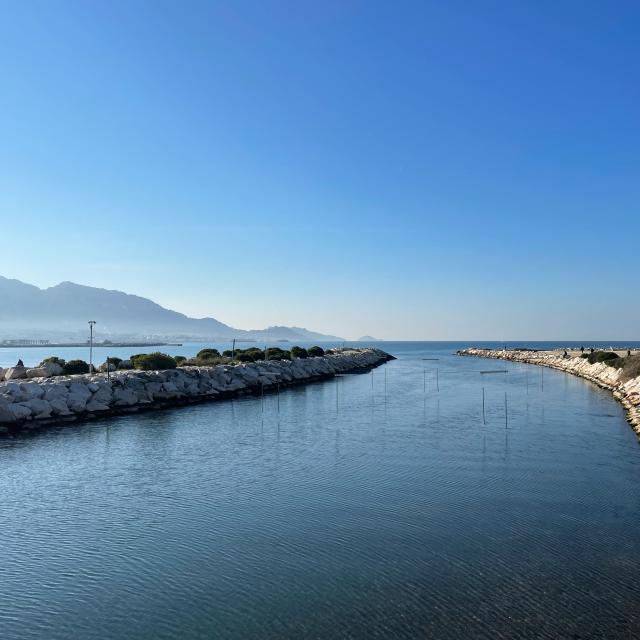
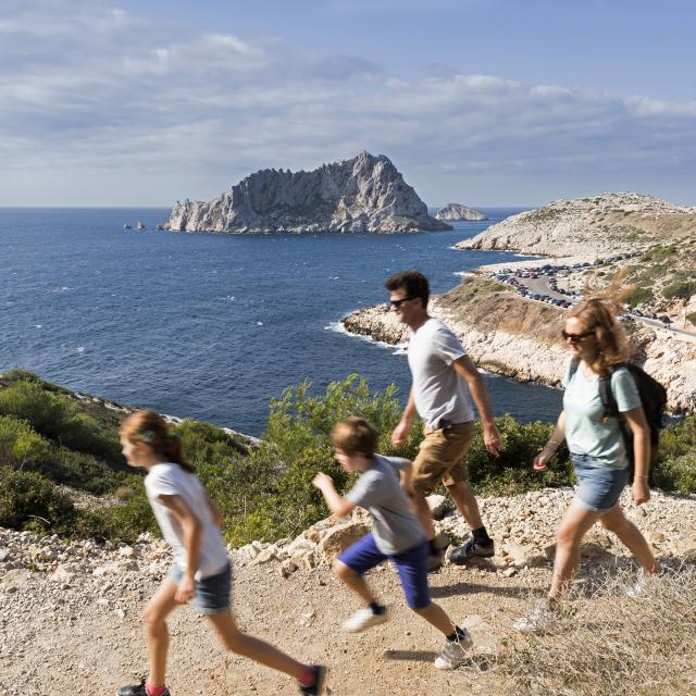
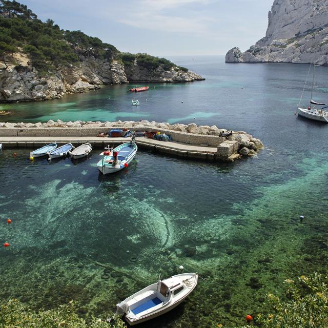
Over the centuries, the Huveaune has profoundly shaped the landscapes it flows through. In the plain between Aubagne and Marseille, its alluvial deposits have formed fertile land that has long been used for market gardening. As it approaches the city, the course of the river becomes more discreet, channelled over large stretches and hidden from view. Yet this typically Mediterranean coastal river is a major geographical landmark and a natural heritage that the people of Marseilles and tourists alike are rediscovering today through projects to enhance and renaturalise its banks.
 Source De L Huveaunehkotcm 25
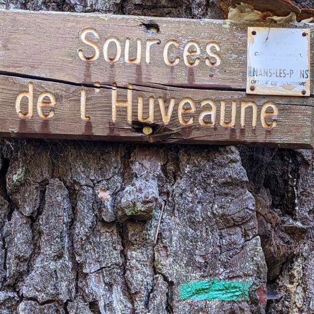 Source De L Huveaunehkotcm 36