mont-puget-rando-boucleotcmhk-29.jpg
Discover

The Mont Puget

And set out to conquer the Puget massif

To admire the most beautiful creeks of Marseille, you have to climb to the top of Mont Puget which culminates at 563 metres and offers a sublime panoramic view. 

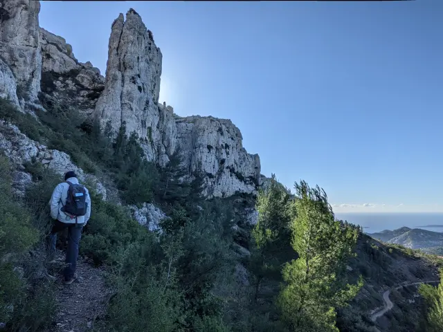
A mountain that stands out in the landscape

Mont Puget is anchored in the heart of the Calanques massif. Culminating at an altitude of 563 metres, it is the fourth highest summit, after the Carpiagne (648m), St Cyr (610m) and Lantin (570m) mountains.

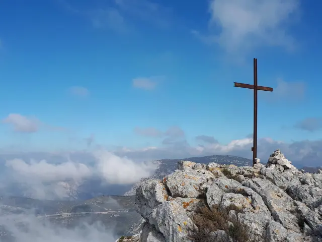
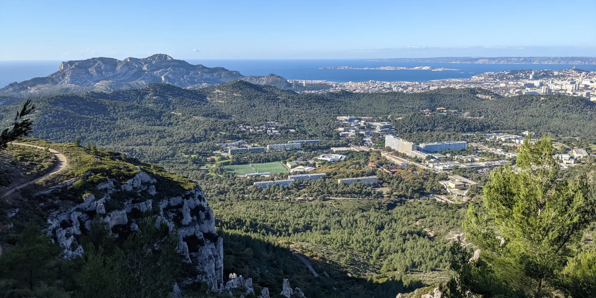
It can be seen from everywhere and from its height, hikers can enjoy a limitless panoramic view of the city of Marseille, the big blue, the Frioul islands and the Riou archipelago, but also the Cap Canaille near Cassis, the Garlaban massif near Aubagne, and even the Sainte-Baume.

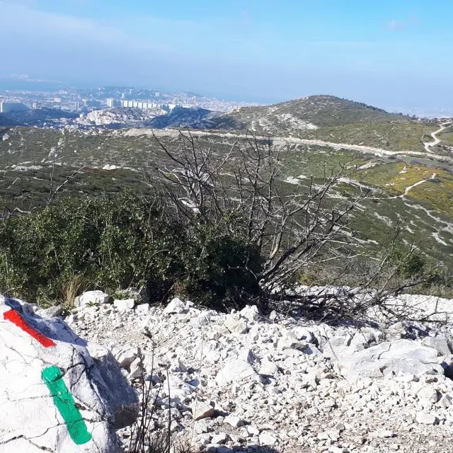
It dominates the vast domain and university complex of Luminy, which continues to expand at its feet in the foreground.

Its history

The origin of the name is Provençal and means “podium”. If you look at it carefully, it does indeed look like a podium that dominates the area. And like other summits, it is no exception to the rule, the nature of its rock is essentially composed of a white Cretaceous limestone of Urgonian age. This limestone is easily recognisable by its arrangement in layers which geologists call strata.

Although it bears the same name as the prestigious sculptor Pierre Puget, also known as “the Michelangelo of France”, there is no real link between this natural giant and the artist from Marseille.

Did you know?

For the curious hiker with a sharp eye, it is possible to observe small cots and santons placed on the rocks at the edge of the path, especially when taking the paths that pass under the cliffs of Luminy.


A varied hiking area

Numerous hiking trails lead to the summit of Mont Puget and its cross. Hikers can start from the Luminy domain or from the Gineste pass. There are two main departure points.

Mont Puget from Luminy

Accessible by public transport, the route is suitable for experienced and sporty hikers, as it is long, with uneven ground and tricky passages. It is necessary to plan more than four hours of walking to complete the loop.

Mont Puget from the Gineste pass

This is an intermediate level hike, which follows the valley of Sainte-Marthe. It should be avoided on windy days as it blows very hard when you reach the summit.

Close