- Voir les favoris

The Petit-Rhône dike
Sport, Pedestrian sports, Hiking itinerary
in Arles
35.7
km
-
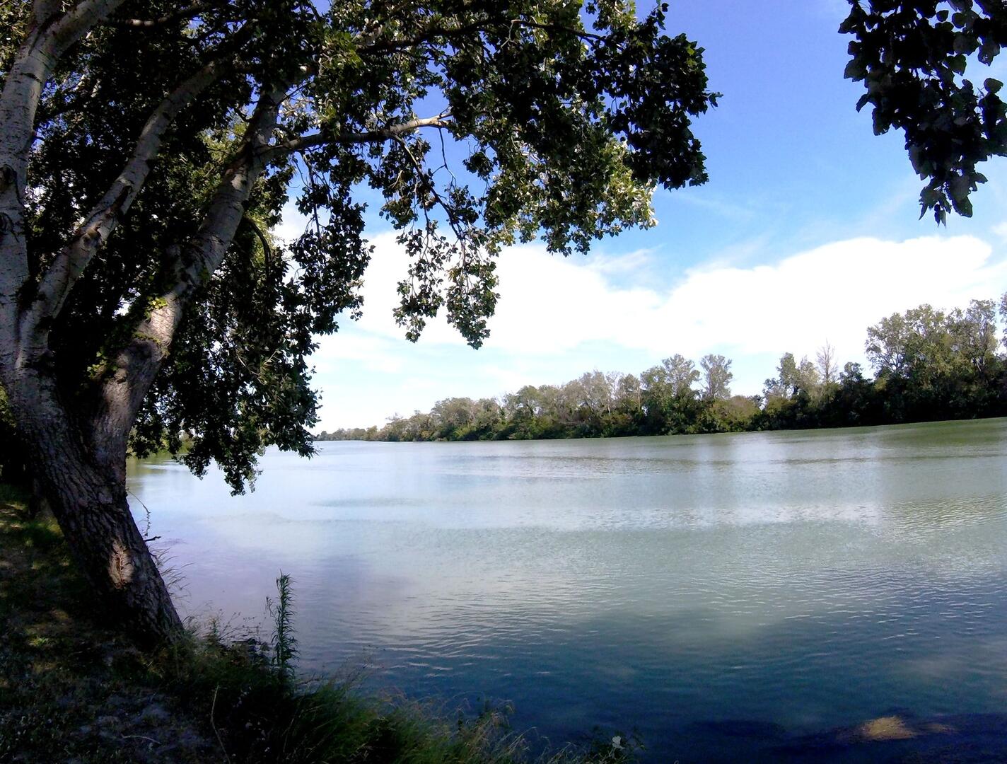
Take the dike and follow the Petit-Rhône along the water, one of the two arms of the Rhône
-
From the rest area of ??Paty-de-la-Trinité, head towards the Petit-Rhône and take the dike on the left which runs along the Petit-Rhône for 12 km.
1 - At the Sylvéréal Bridge, make a U-turn to return to the rest area of ??Paty-de-la-Trinité.
Very easy
- Departure
- Arles
-
-
Difference in height
- 88.9044 m
-
-
-
Departure : Rest area of ??Paty-de-la-Trinité, Arles.
Arrival : Le Paty-de-la-Trinité.
Road access : 18 km south-west of Arles, by the D570..
Parking recommended : Stationnement à l’aire de repos du Paty-de-la-Trinité .
- See all reviews
- 89 meters of difference in height
-
- Maximum altitude : 14 m
- Minimum altitude : -1 m
- Total positive elevation : 89 m
- Total negative elevation : -89 m
- Max positive elevation : 7 m
- Min positive elevation : -8 m
