
La pointe de Beauduc
Sport, Pedestrian sports, Hiking itinerary
in Arles
15.9
km
-
Round trip between sea and marsh. Very nice walk in the Camargue on the sand and the dunes.
-
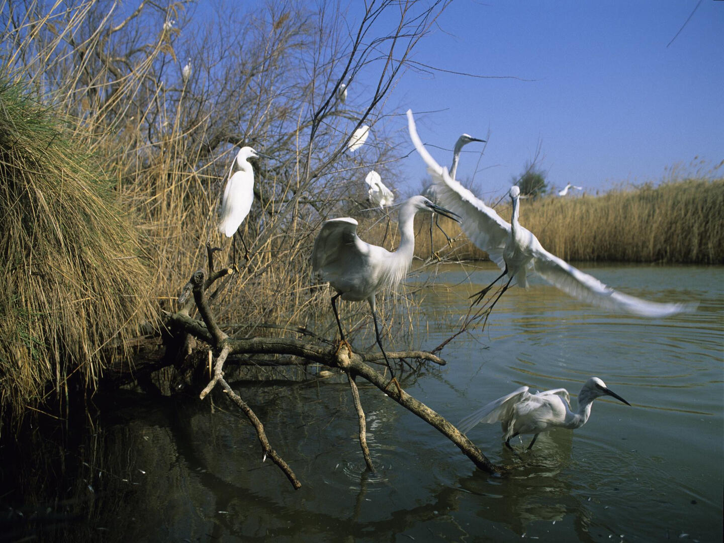
The Etang du Fangassier and the Pointe de Beauduc are part of a vast property of the Conservatoire du Littoral covering more than 6,500 hectares: the ponds and marshes of the former Camargue salt pans. The site has a diverse fauna and flora typical of the natural habitats of the Mediterranean coast.
The Pointe de Beauduc has exceptional vegetation and dunes that are unique in the Rhone delta.
The site is accessible all year round, for free visits. Please note that the 10 km access track...The Etang du Fangassier and the Pointe de Beauduc are part of a vast property of the Conservatoire du Littoral covering more than 6,500 hectares: the ponds and marshes of the former Camargue salt pans. The site has a diverse fauna and flora typical of the natural habitats of the Mediterranean coast.
The Pointe de Beauduc has exceptional vegetation and dunes that are unique in the Rhone delta.
The site is accessible all year round, for free visits. Please note that the 10 km access track is poorly maintained and limited to vehicles with a width of less than 2 m.
Camping prohibited
- Departure
- Arles
-
-
Difference in height
- 64 m
-
-
-
Plain text period
- All year round.
-
-
-
Documentation
- GPX / KML files allow you to export the trail of your hike to your GPS (or other navigation tool)
-
- See all reviews
- 64 meters of difference in height
-
- Maximum altitude : 14 m
- Total positive elevation : 64 m
- Total negative elevation : -64 m
- Max positive elevation : 9 m
- Min positive elevation : -13 m
