
Istres à vélo
Sport, Cycling sports, Cycle tourism route
in Istres
15.6
km
-
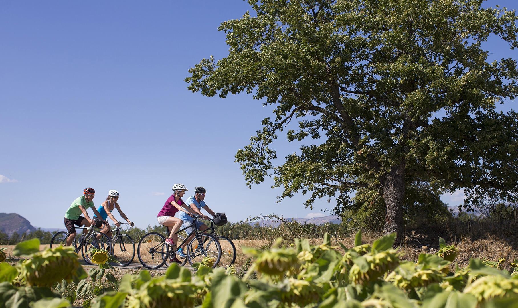
The Tourist Office offers you an itinerary for discovering our beautiful town of Istres by bike.
-
This itinerary takes in the city's cycle lanes and paths, as well as little-used roads. It passes close to the city's main tourist sites, which are indicated by pictograms on the map. Along the way, you're free to stop and take a detour to make the most of it.
Accessible for disabled
- Departure
- Istres
-
-
Difference in height
- 144 m
-
-
-
Marseille/Provence: Airport/Aerodrome 40km away
Bus station: Bus stop 0.7km away
Istres: Railway station 0.5km away
-
-
Plain text period
- All year round.
-
-
-
Environment
-
-
-
Spoken languages
-
-
-
-
-
Documentation
- GPX / KML files allow you to export the trail of your hike to your GPS (or other navigation tool)
-
- See all reviews
- 144 meters of difference in height
-
- Maximum altitude : 50 m
- Minimum altitude : 1 m
- Total positive elevation : 144 m
- Total negative elevation : -144 m
- Max positive elevation : 22 m
- Min positive elevation : -34 m
Services
-
-
Equipment
-
