cte-bleue-pont-ferrovirecmomtcm-2.jpg

Hiking on the Côte Bleue

from Marseille to Martigues

The best way to discover the Côte Bleue is to walk along the seafront on a coastal path. Find our suggestions and advice for unforgettable walks in Marseille.


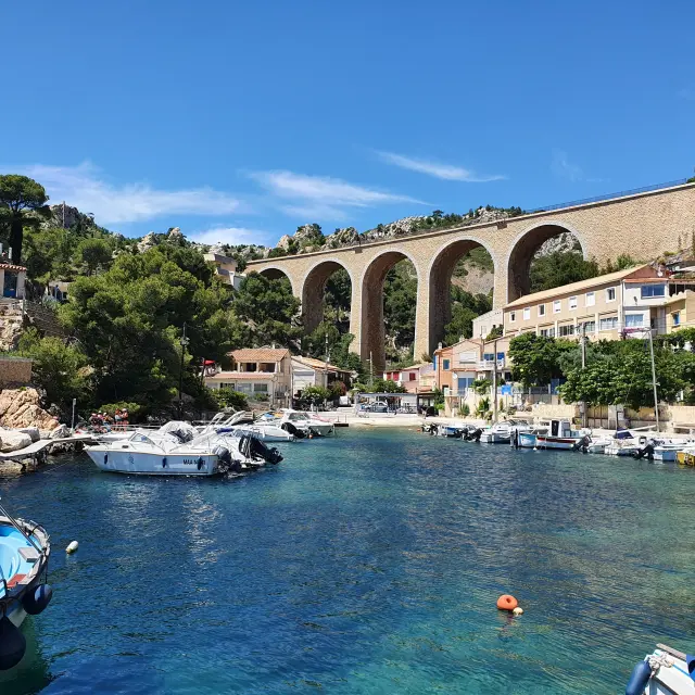
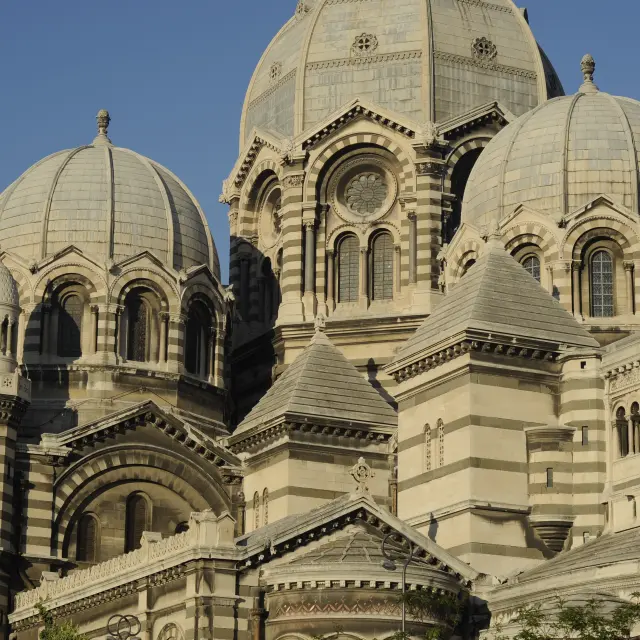
What is the Côte Bleue?

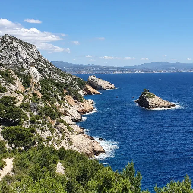
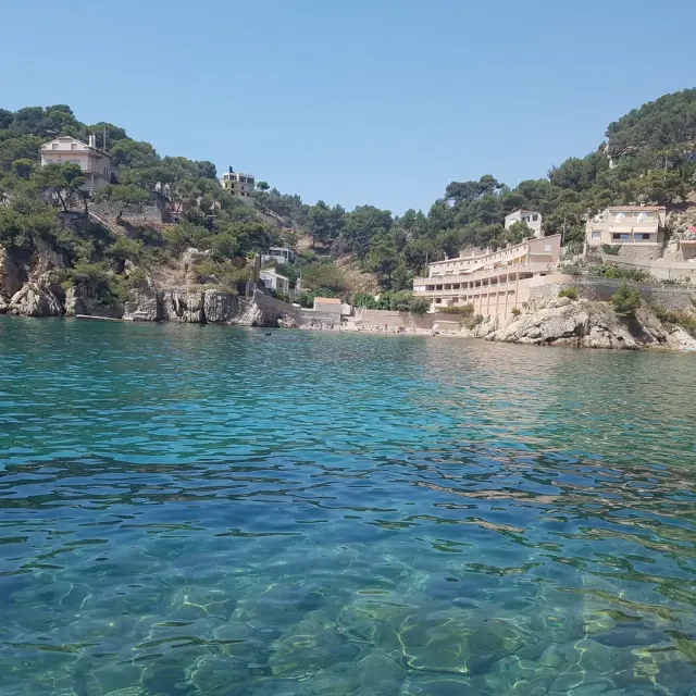
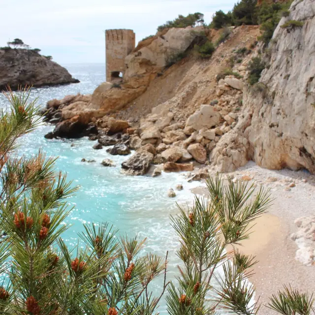
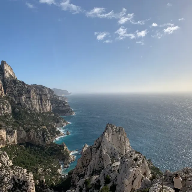
The Côte Bleue, the maritime façade of the Estaque chain (or Nerthe chain), is a 28km long white limestone massif that stretches from Marseille to Martigues.

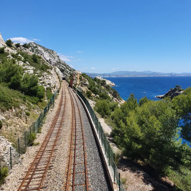
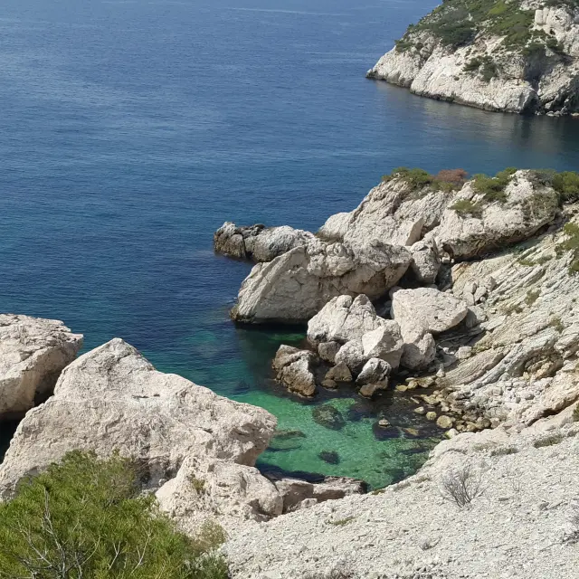
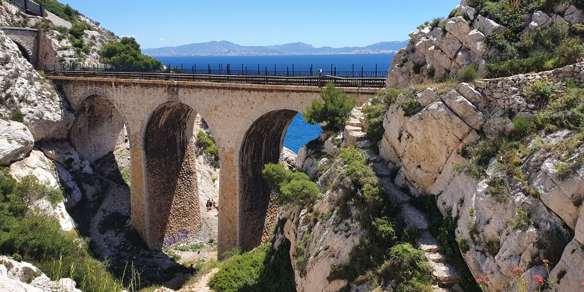
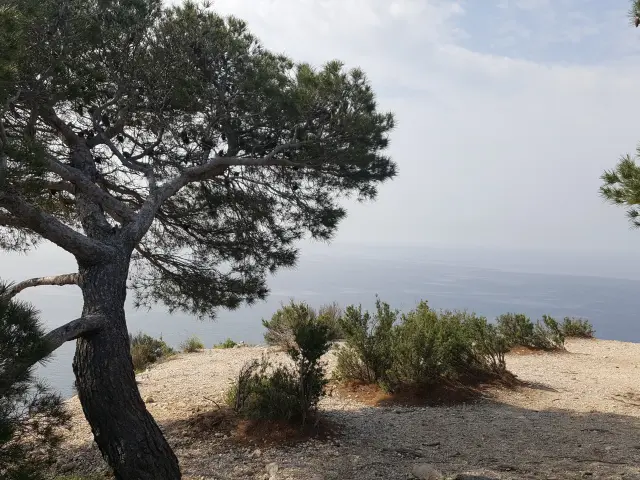
Hiking is undoubtedly one of the best ways to discover it, with the sentier des douaniers in particular, which allows you to get as close as possible to its steep shores and to access its very beautiful creeks. These are surrounded by the scrubland specific to the Mediterranean climate (thyme, rosemary, rockroses…) but also Aleppo and umbrella pines, holm and kermes oaks.

What is the sentier des douaniers?

In 1789, the Revolution was in full swing and the taxes levied on fabrics, cloth, alcohol and tobacco were so high that smuggling developed. The State set up a system of coastal surveillance along the coasts. The work was carried out by customs officers. The first sentier des douaniers was created in 1791 on the Brittany coast and then extended to the other French coasts. Today, these paths are a delight for hikers.

The Grand Sentier de la Côte Bleue

The ‘Grand Sentier de la Côte Bleue’ was inaugurated in 2018 thanks to the desire of the communes of Ensuès-la-Redonne, Carry-le-Rouet, Sausset-les-Pins and Martigues to join forces to develop their existing heritage (sentier des douaniers) with a view to developing tourism.

This GR footpath, a 62 km route, includes 17 loops of 2 to 12 km with differences in altitude (which makes it possible to satisfy all types of public), and in some places it merges with the pre-existing sentier des douaniers.

Its major advantage is its accessibility. Indeed, each stage can be done from a station by taking the TER train line Marseille – Miramas.

If you want to do it all, you will need to allow 3 to 4 days’ walking.

For families or walkers, we recommend the Sentier du Lézard (Lizard Trail) from Carry-le-Rouet, which is equipped with footbridges and ramps, or the trail from La Couronne to Sainte Croix beach, which is also easy and fun thanks to its fitness trail.

The Niolon – La Redonne circuit is certainly one of the most popular. The path starts from the station of Niolon and crosses many creeks (Erevine, Méjean, Figuières, les Anthénors…) until La Redonne where it is possible to take the train back. Count on 3 hours of walking with some difficult passages.

Practical information

.Good hiking or trail shoes, a cap, a rucksack and above all a water bottle (1 litre minimum per person) will be very useful, even for a simple walk.
.Stay on the marked trails.
./!\ ATTENTION, in summer, on days classified as high risk (generally during the mistral period), check the accessibility of the paths daily, from 6pm the day before on the prefecture’s website.


Bibliography

To date, there are no topos randos but they should be published very soon. In the meantime :


Good to know

There is a TER train from Marseille to Miramas which runs along the Côte Bleue. It overlooks the sea and offers an incomparable view of the bay of Marseille and the Calanques. The journey takes 25 minutes. A change of scenery guaranteed!


Close