

Tips
The route is best to go with a city bike or a mountain bike (VTC).
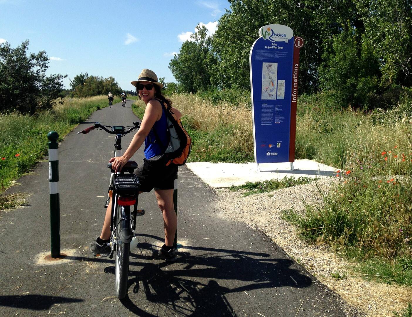
To get to Van Gogh Bridge:
- 3 km from the Tourist Office of Arles. Back to the Tourist Office, turn left, follow Port-Saint-Louis by Sadi Carnot Avenue and at the roundabout after the bridge, follow Pont de Van Gogh. At the traffic lights, turn left and at the end of Philippe Lebon street, turn to the right.
- Or by bike, back to the Tourist Office, turn left and follow the bike path that leads to the Van Gogh Bridge. Caution on the D35, busy road!
In rainy weather, the health trail at the entrance to Port-Saint-Louis-du-Rhône (reference point 4 and 5) may be impracticable. On foot, it is rather advisable to stay on the dike. The Symadrem, managing company of the dikes formally prohibits access to the 2 wheels. By bike, go through the city, join the Gabriel Péri Avenue and Jules Guesde street to find the bike path at Port Abri du Rhone. 3
Possibility to make only a part of the ViarRhôna (example: Arles-Marais du Vigueirat).
