
Auriol - Les Moulins
Sport, Pedestrian sports, Hiking itinerary
in Auriol
3.7
km
1h 15min
Very easy
-
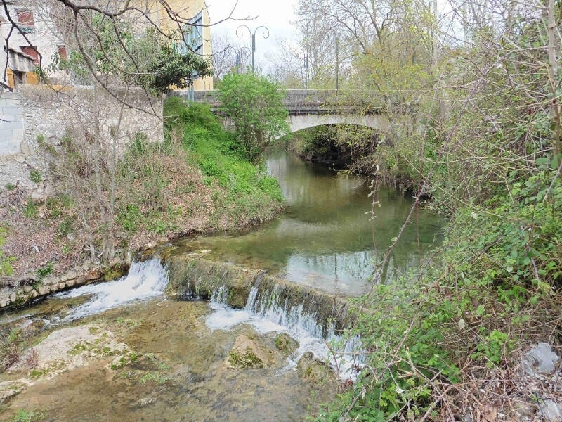
This 1h15 walk invites you to discover the past of the village of Auriol by following the old canals and the banks of the Huveaune.
- Departure
- Auriol
-
-
Difference in height
- 51 m
-
-
-
Plain text period
- All year round.
-
-
-
Documentation
- GPX / KML files allow you to export the trail of your hike to your GPS (or other navigation tool)
-
- See all reviews
- 51 meters of difference in height
-
- Maximum altitude : 217 m
- Minimum altitude : 188 m
- Total positive elevation : 51 m
- Total negative elevation : -51 m
- Max positive elevation : 21 m
- Min positive elevation : -15 m
Services
-
-
Equipment
-
