Vue sur la calanque de Sugiton
Discover

The Sugiton calanque

and the "torpedo boat" rock

It is a real paradise! A small cove with a varied relief, shaded, with sand, pebbles and rocks, its waters are fresh and crystal clear. The large, elongated rock facing it is called “The Torpedo Boat” because of its resemblance to a warship.

Two small creeks make up the cove, each with a pebble beach. Of course, the cove being located in the National Park thanks to its exceptional and internationally renowned site, visitors should behave in a respectful manner.  

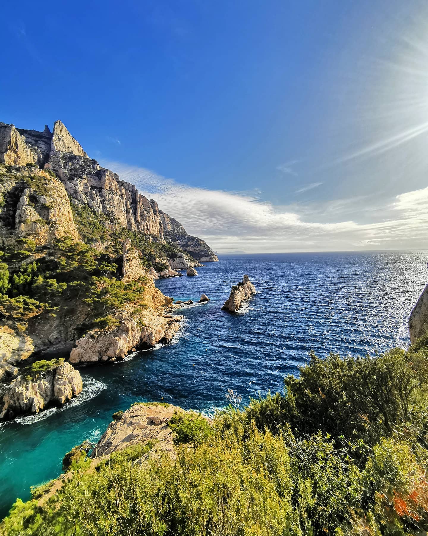
Discover the calanque

A nature trail

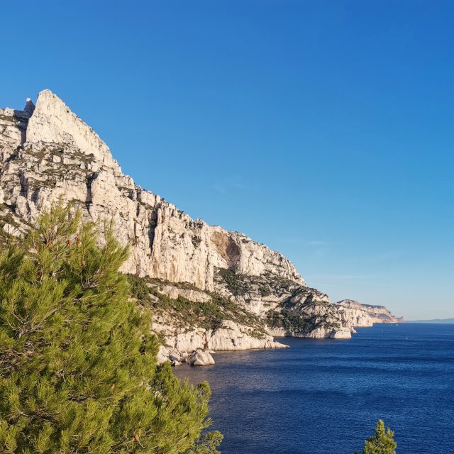
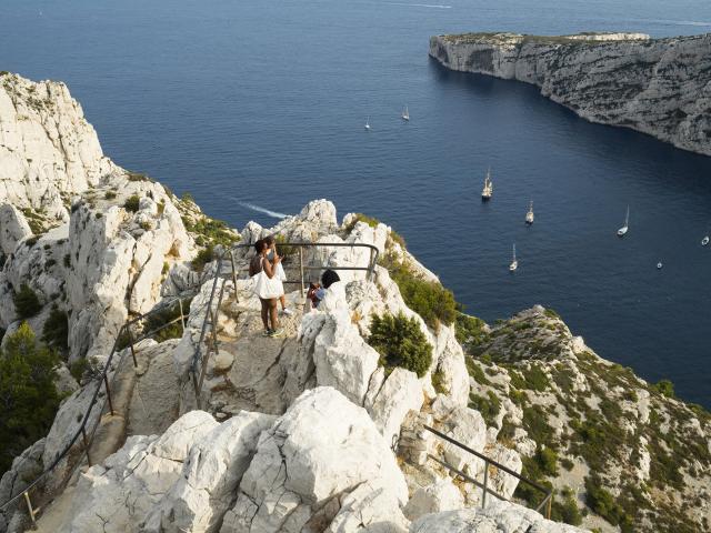
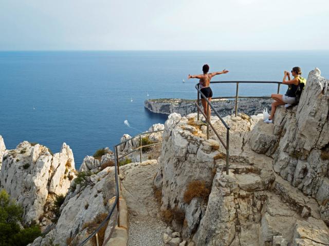
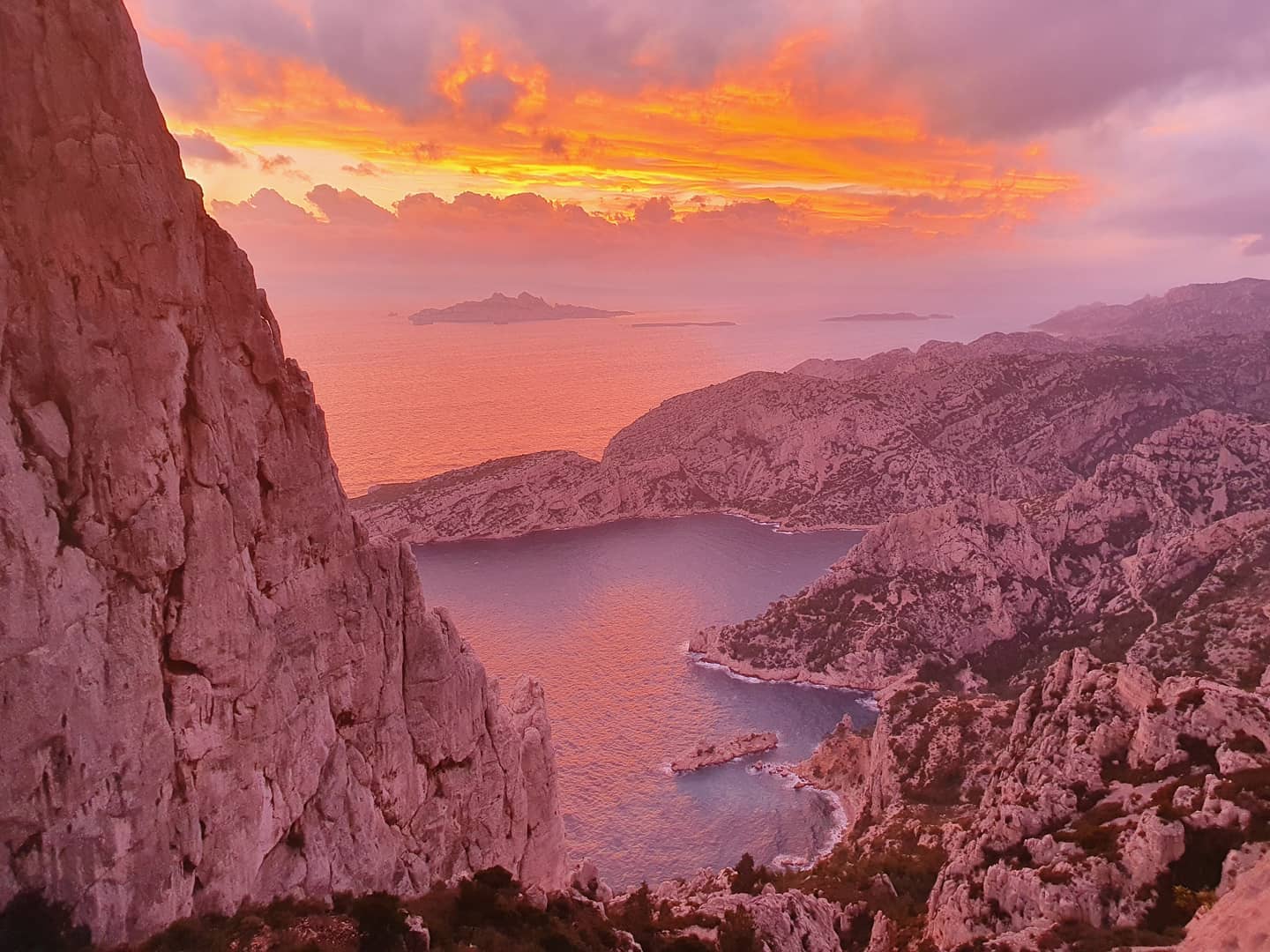
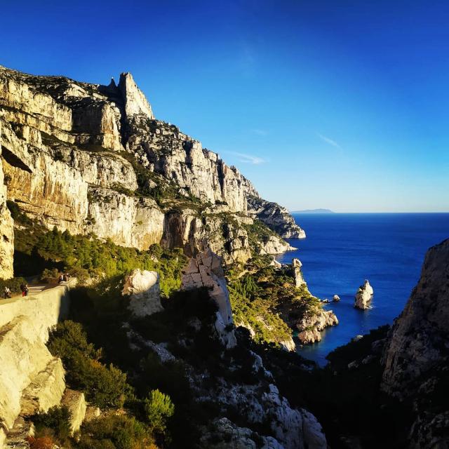
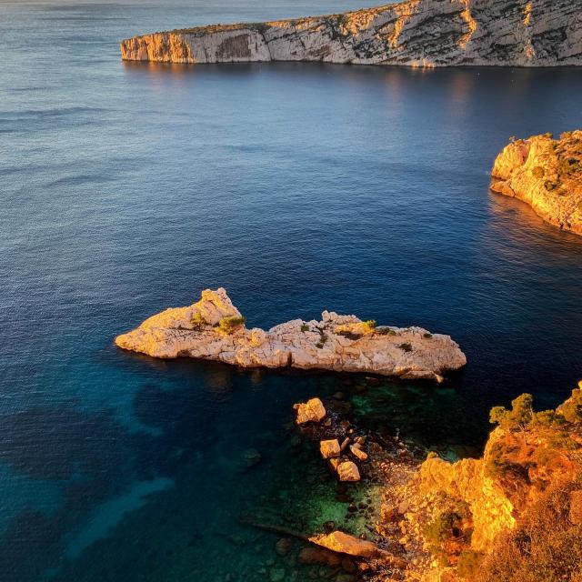
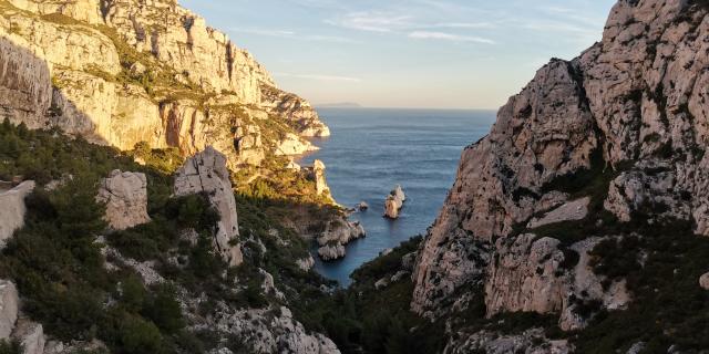
It takes about 1 hour to go downhill and barely more to go up. The first half hour, the path is common until the arrival on the esplanade the pass of Sugiton, it is a false flat until the pass, on the right, you can go to the Belvedere, which offers a magical view on theMorgiou calanque.

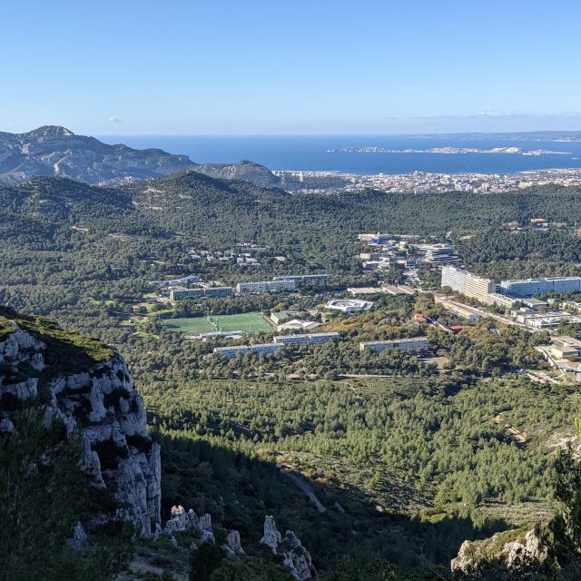
(the half-hour diversions there and back is worth it!), and the harbour of Marseille with its islands.

Still at this point, two paths are available to access the calanque:

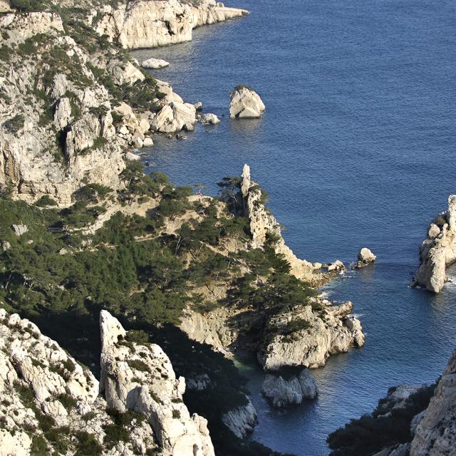
A first easy and winding path is taken on the left, used by the fire trucks (DFCI track). This first option is a little longer. You will find the second one (almost opposite the sea, slightly to the right) marked with 3 red dots. The path is steep and strewn with slippery rocks and stones. Avoid the climb in the heat!

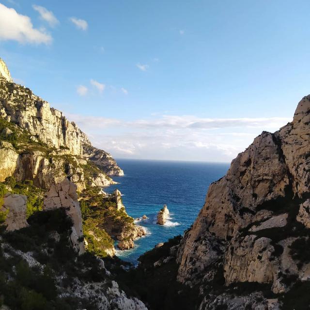
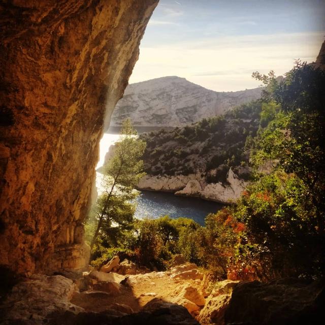
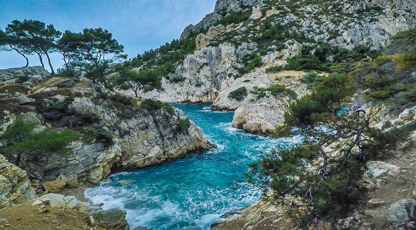
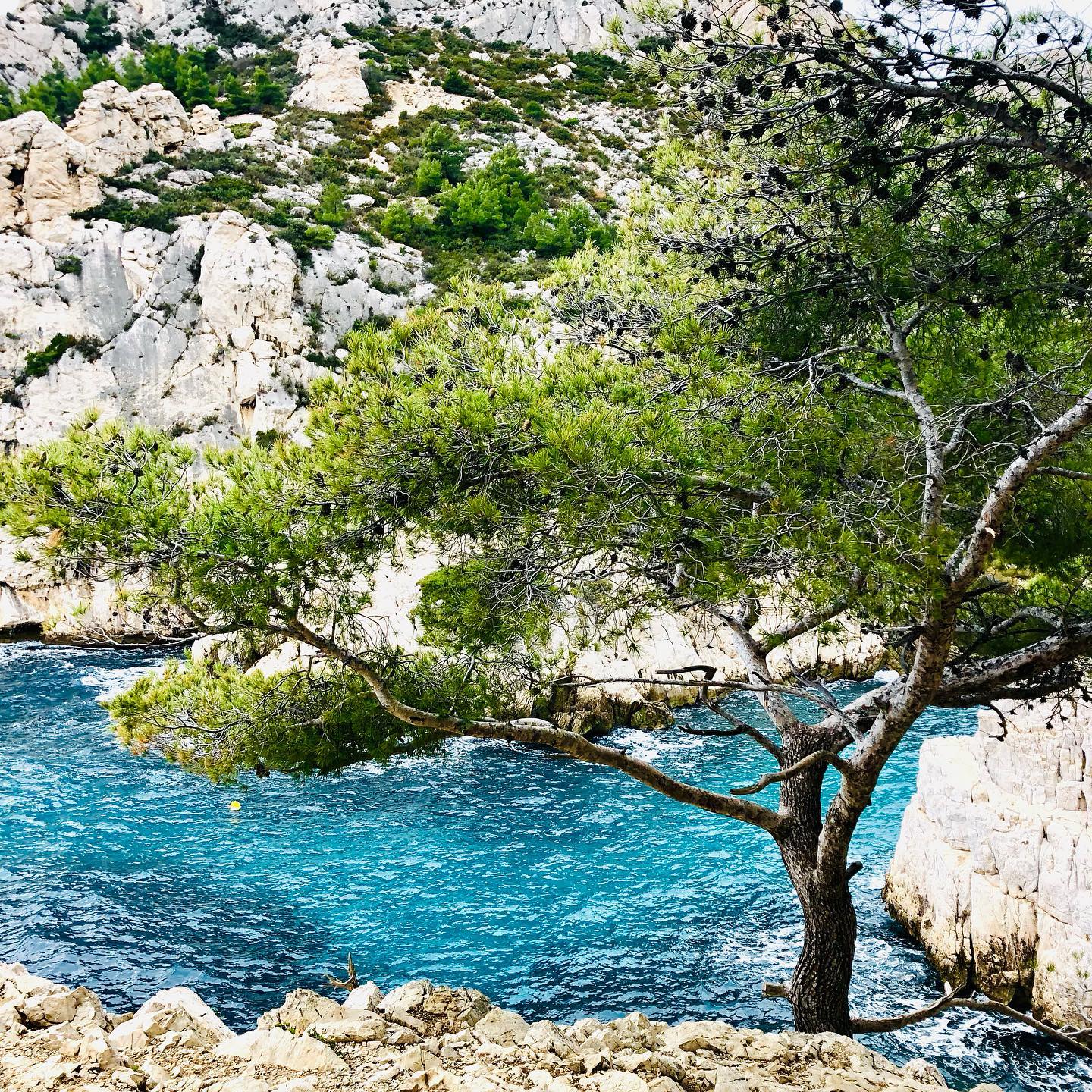
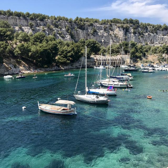
When you see the sea at a bend in the road, look out for the small path marked by the three red dots on your right. The end of the descent can only be made from there. For access to the pebble beaches, plan an early start, as they are crowded from the beginning of the morning. But don’t worry, there are many other nice places to settle on the rocks.

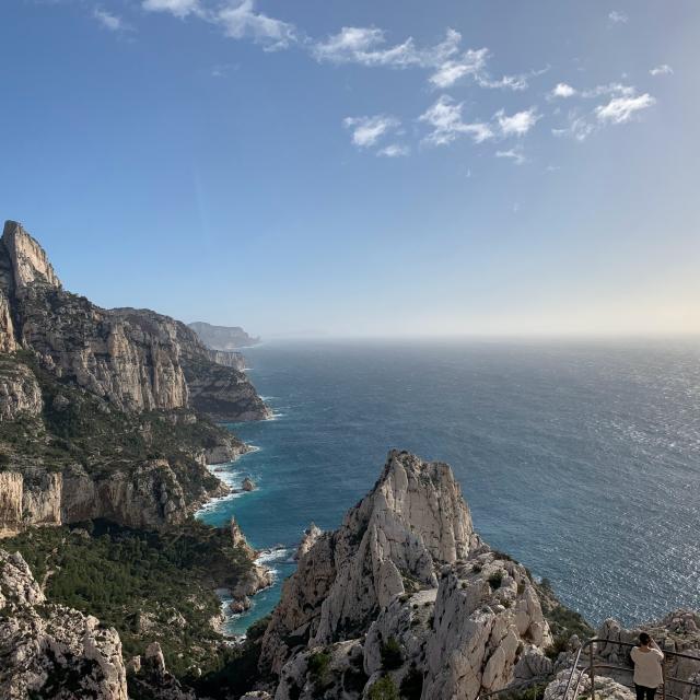
A very popular climbing area

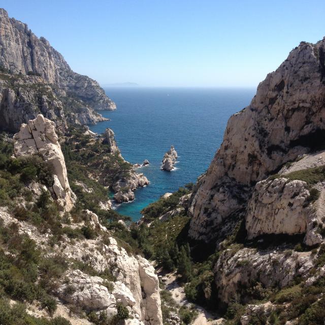
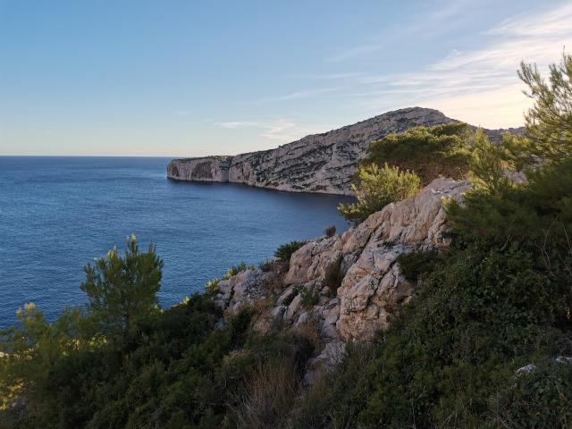
Sugiton also offers beautiful climbing routes: amateurs often come from far away to tease the dihedrals and overhangs, in one or several pitches. The Grande Candelle, which dominates a little further on, is imposing, and the panorama from its walls is sublime.

How to get to the calanque of Sugiton ?

To access the Sugiton cove, leave your car in the car park in front of the Luminy university science campus, or opposite, in front of the Ecole Supérieure des Beaux-Arts et d’Architecture. A barrier and an information board mark the beginning of the path.

Geographical location: Luminy district.
GPS coordinates: latitude 43.230728 longitude 05.439947

You can also take bus B1, at the beginning of avenue du Prado just after place Castellane in the direction of Luminy, stop at the terminus.

For information about public transport: www.rtm.fr 

The right gestures and behaviours to adopt

The calanques are a national park and a medium mountain massif. It is a sensitive natural area, unsecured and very steep, which remains fragile and can present dangers (landslides, falling rocks, falling trees or branches, cliffs and escarpments). Visitors should therefore at least bring walking shoes, water, food, a map of the massif, a mobile phone in case of emergency, and warn at least one person of the hiking project. Of course, waste must be collected.

The Calanques massif is made up of many beautiful marked trails. By leaving these, walkers and climbers endanger many plants which are often extremely rare. You should not leave these paths to take shortcuts which can cause erosion. Similarly, avoid the scree, the fragile habitat of the sabline de Provence, a protected plant endemic to the massif.

Good to know

In order to limit the environmental impact of trampling in the calanque, the access to the Calanque of Sugiton is by reservation onlyevery day from 1st July to 3rd September 2023 and on the weekends of 17-18 June / 24-25 June / 9-10 September and 16-17 September.

Reservations will be open from 14 June at 9am.

Close